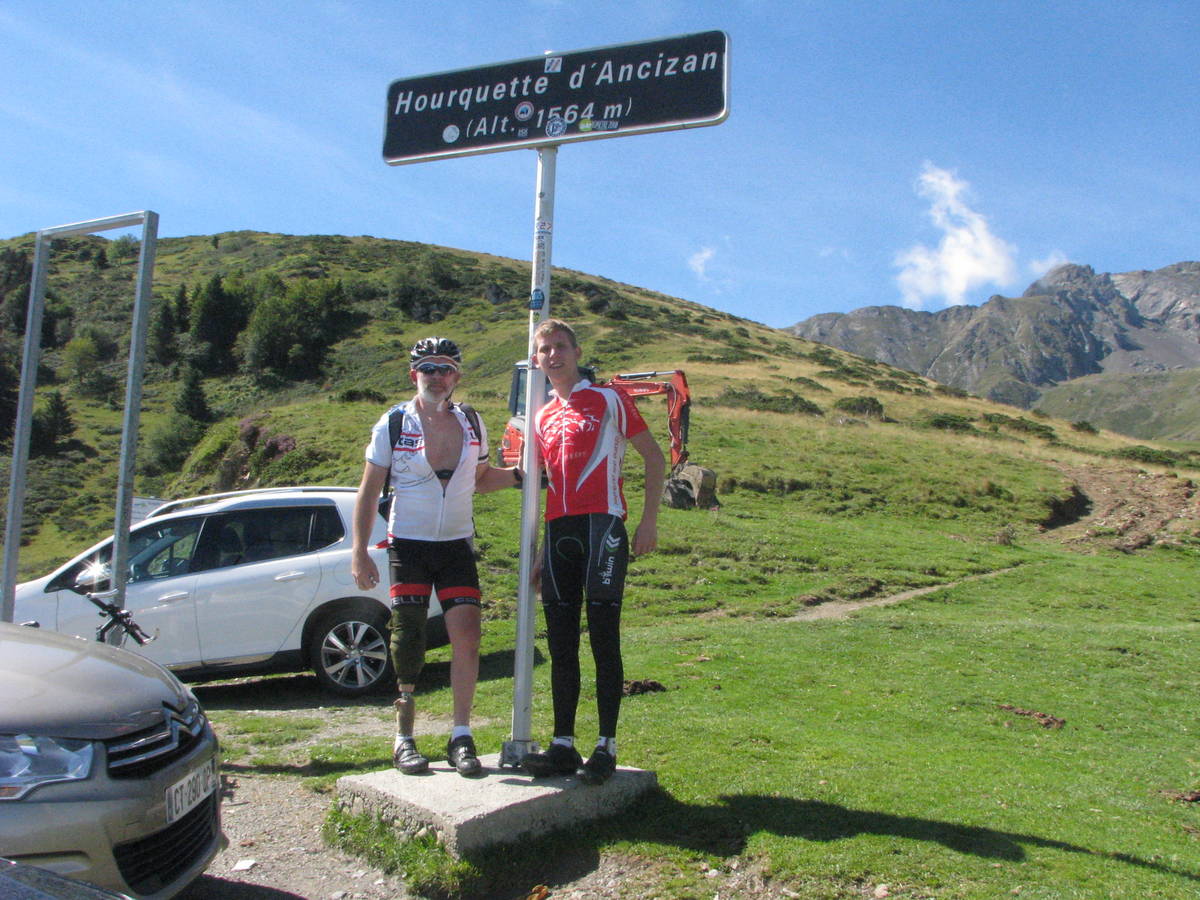
Information
There's other climb of this summit
Map
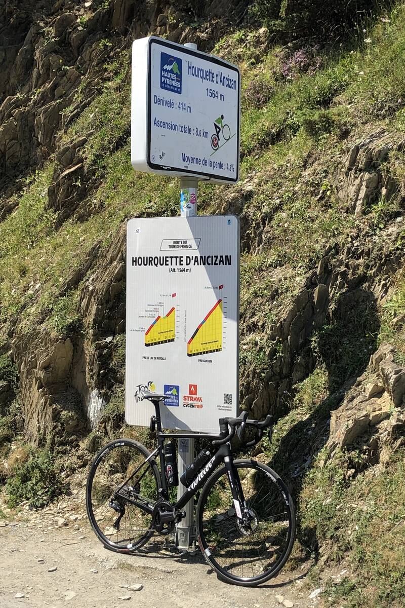
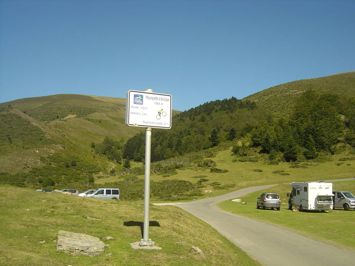
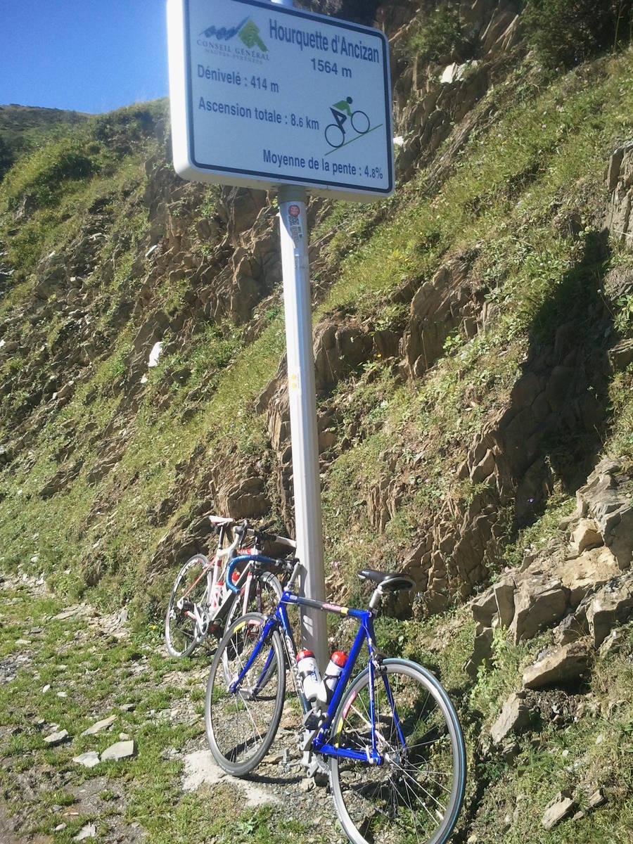
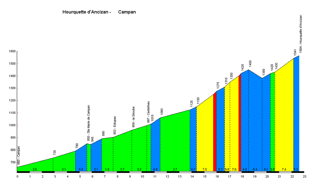
Profile
Login or Create your account
01:26:00 • Mike C • Comment posted on 24/08/2020
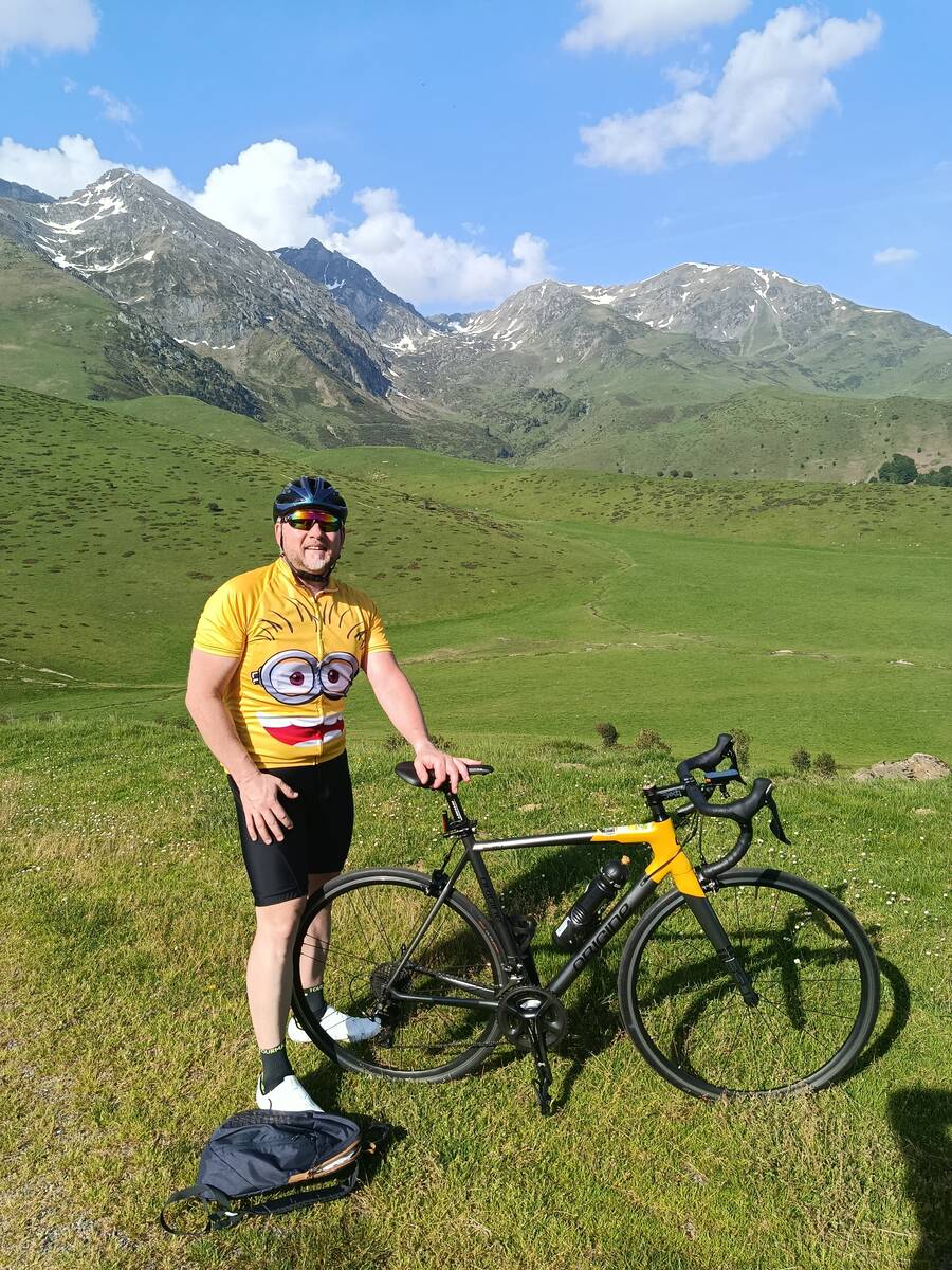
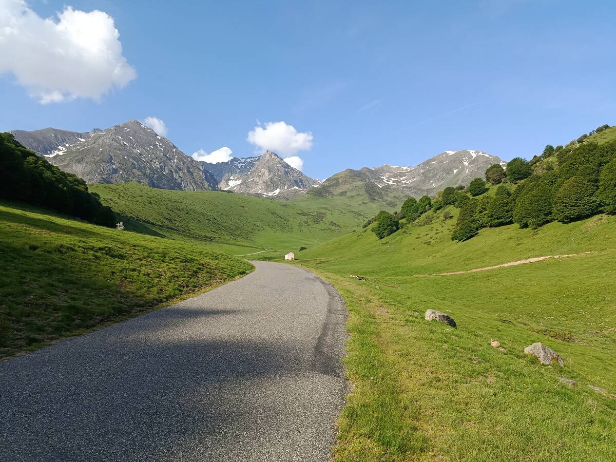
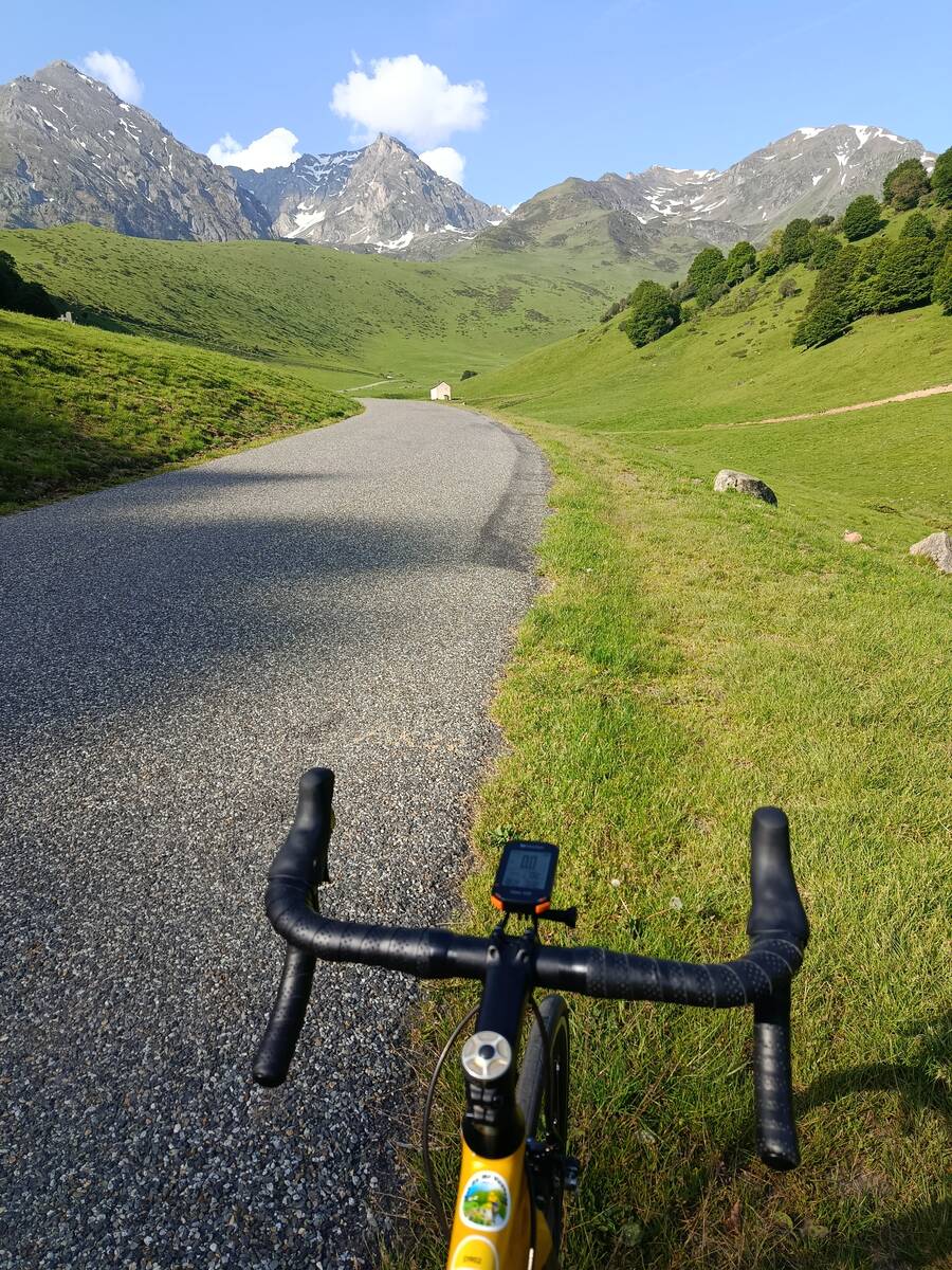
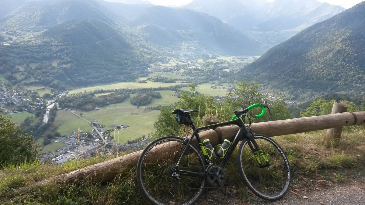
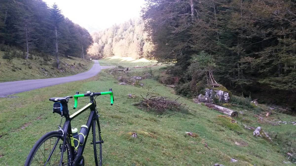
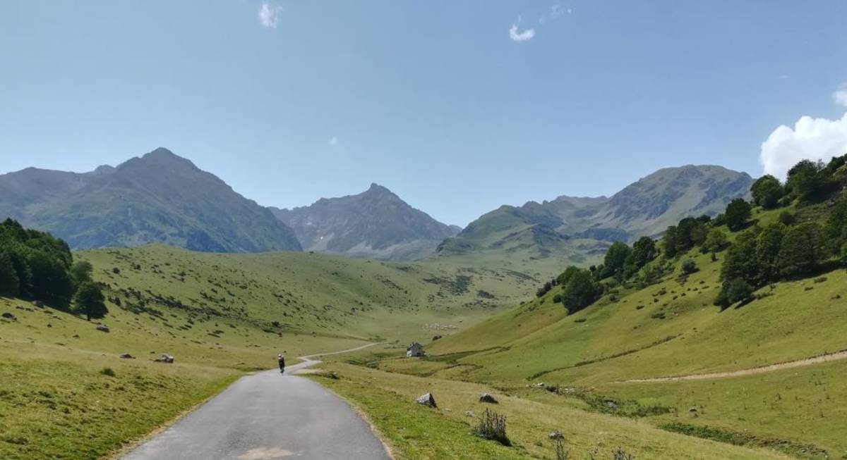
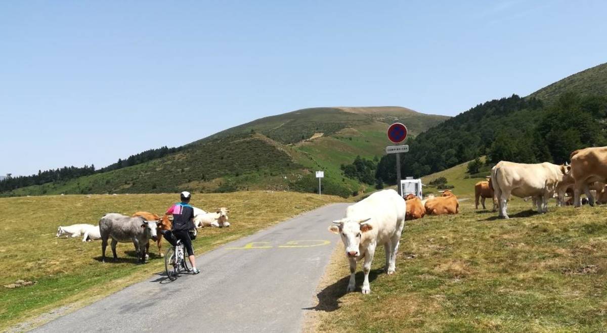
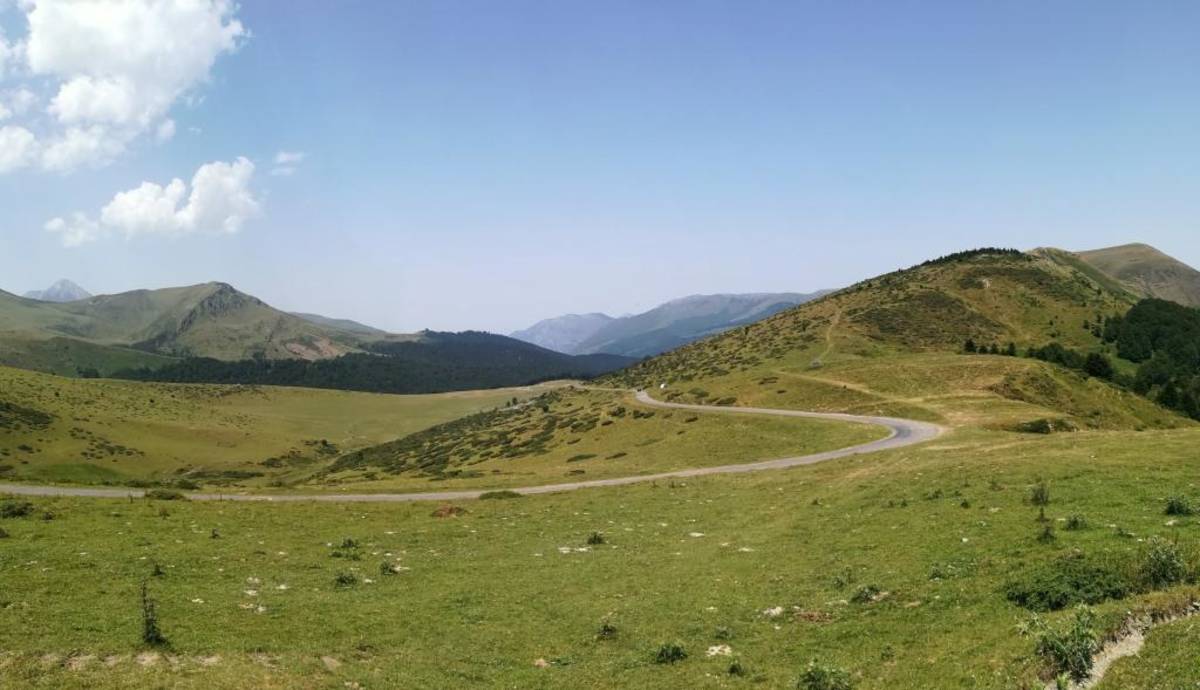
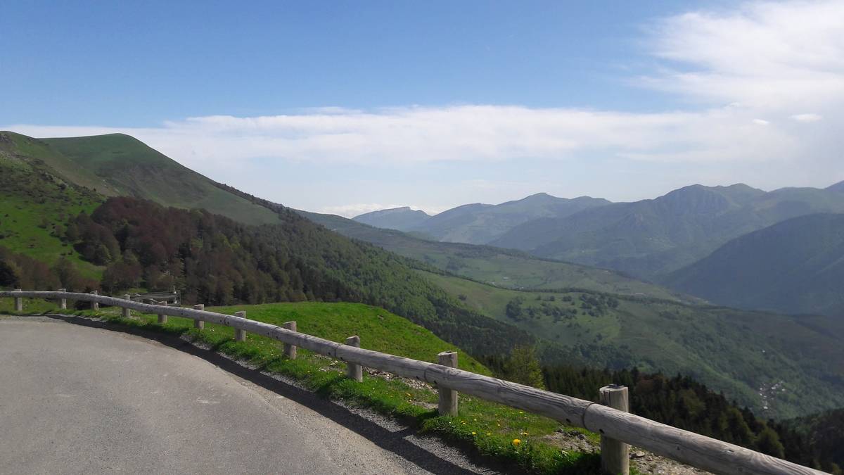
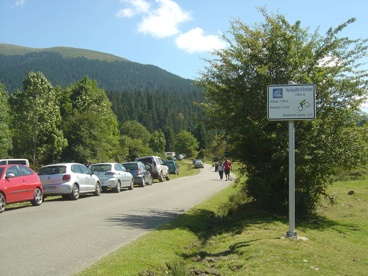
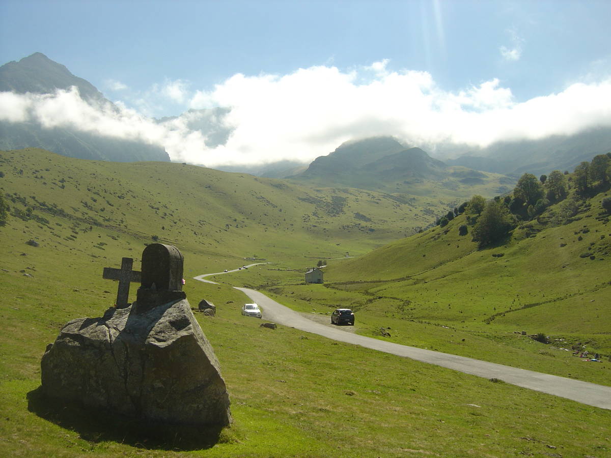
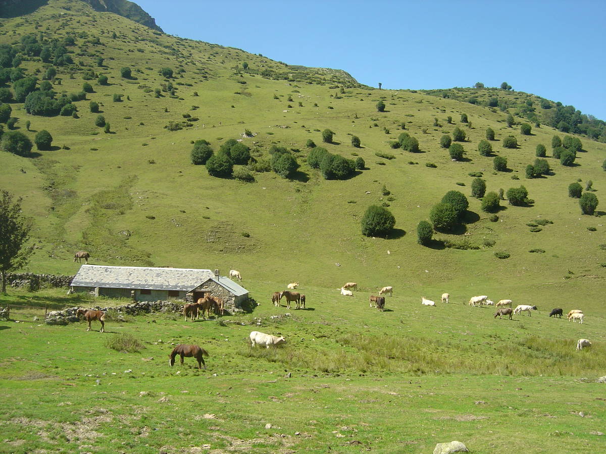
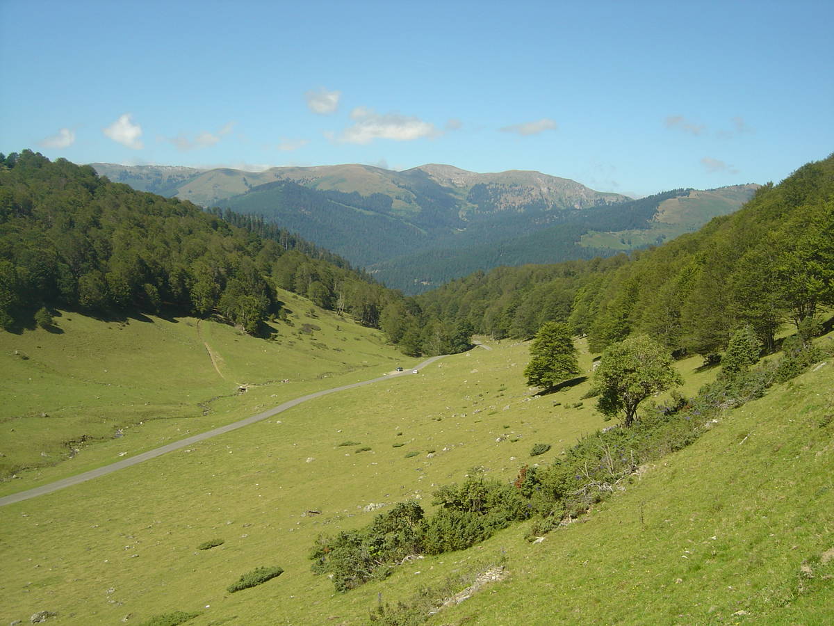
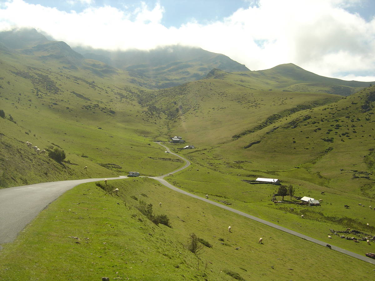
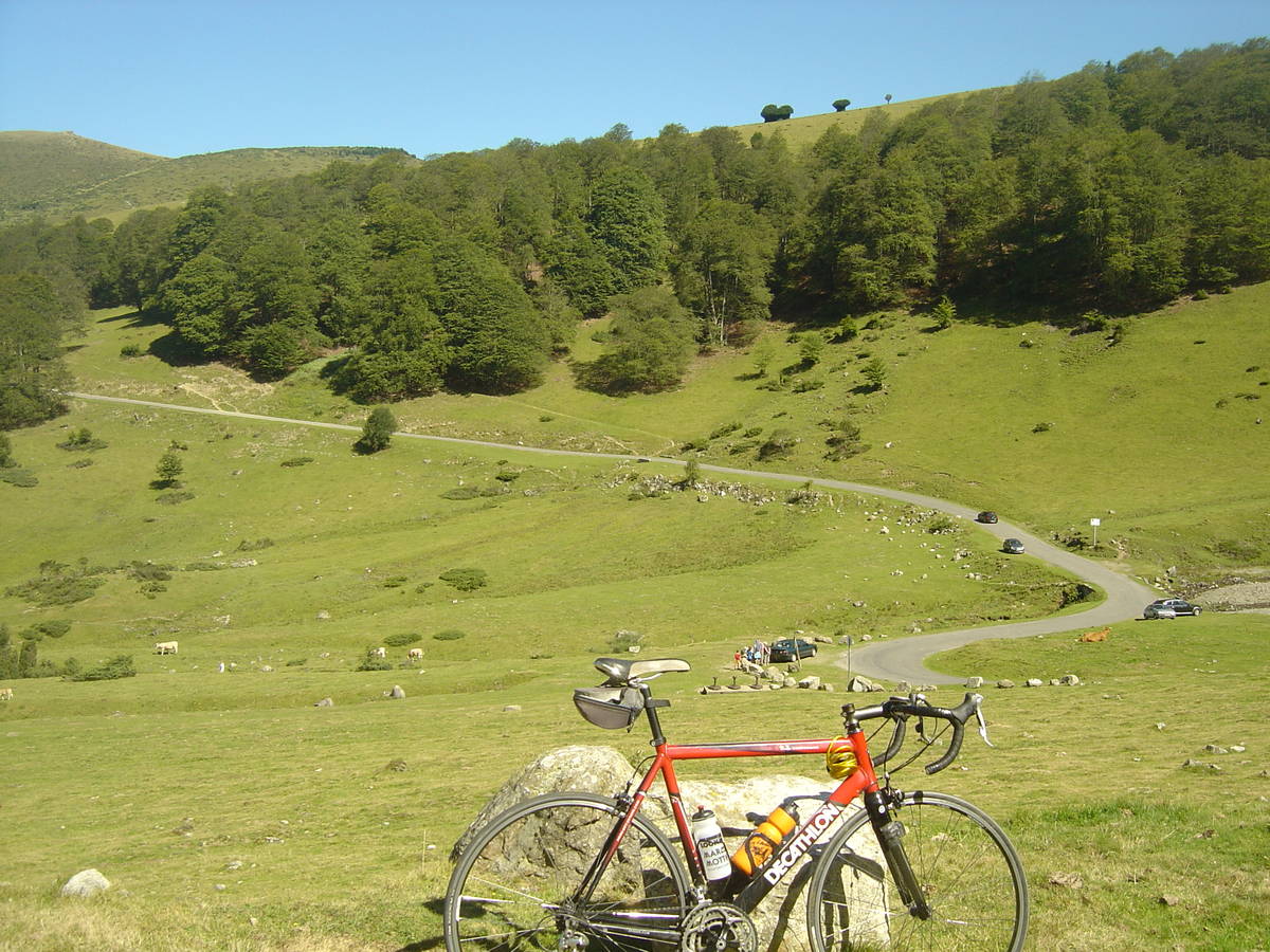
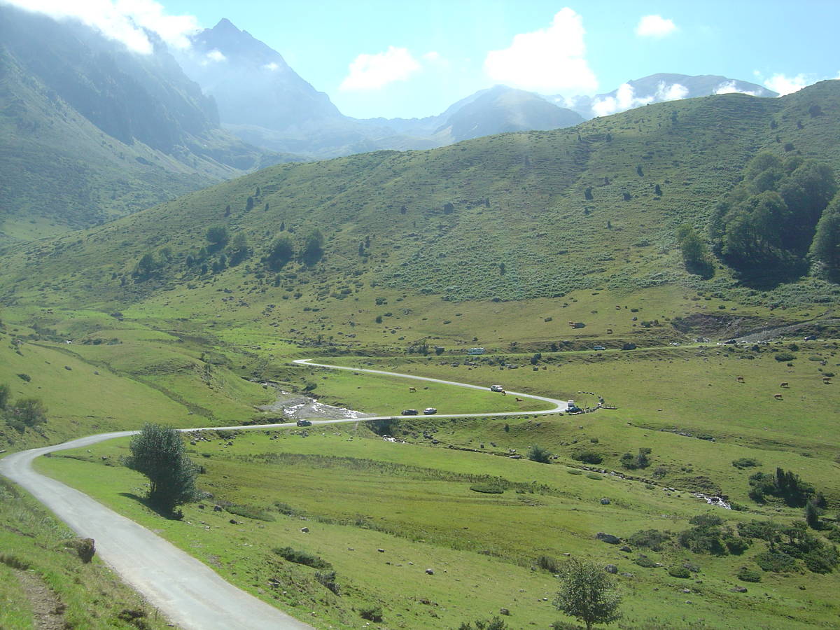
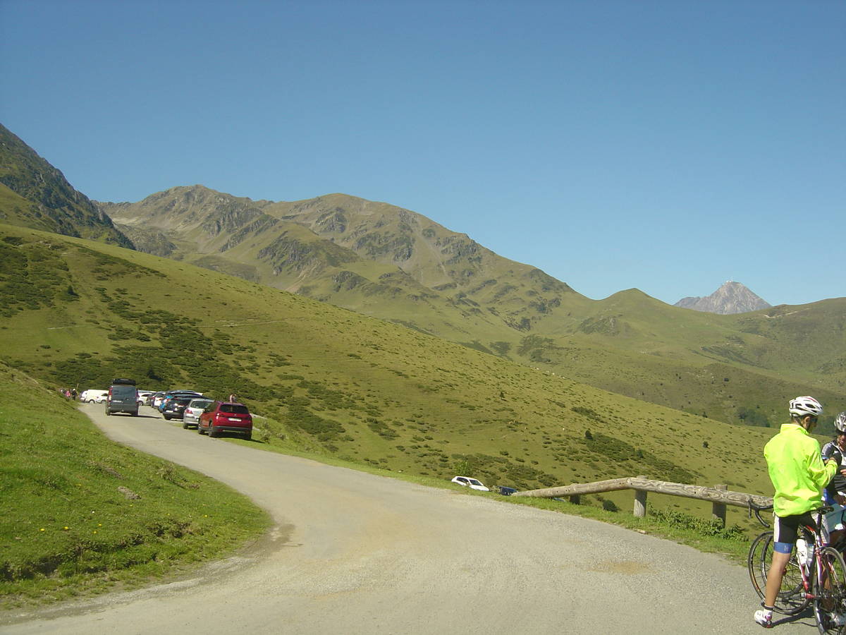
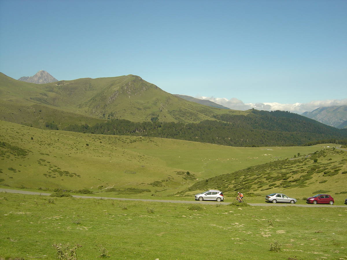
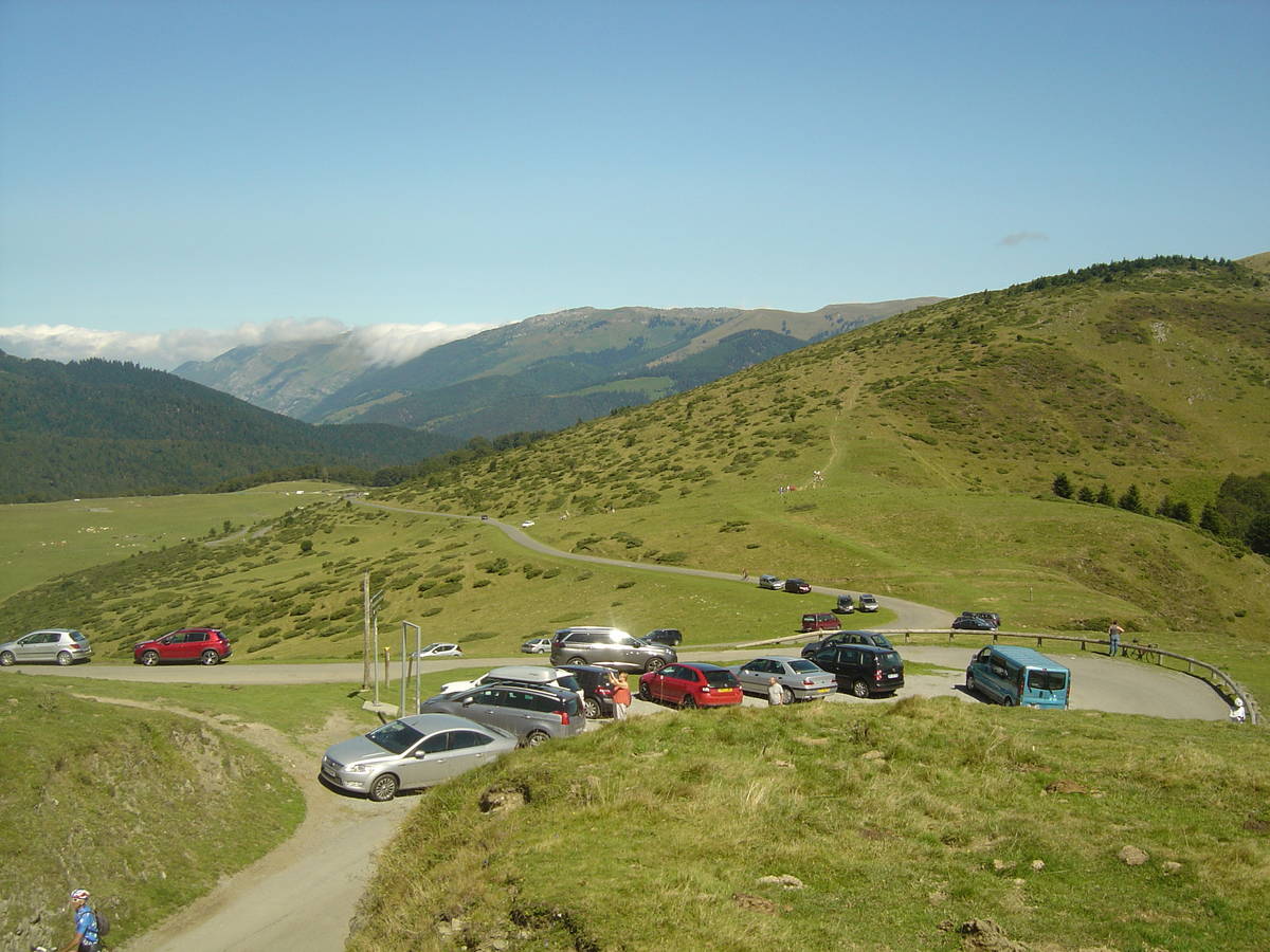
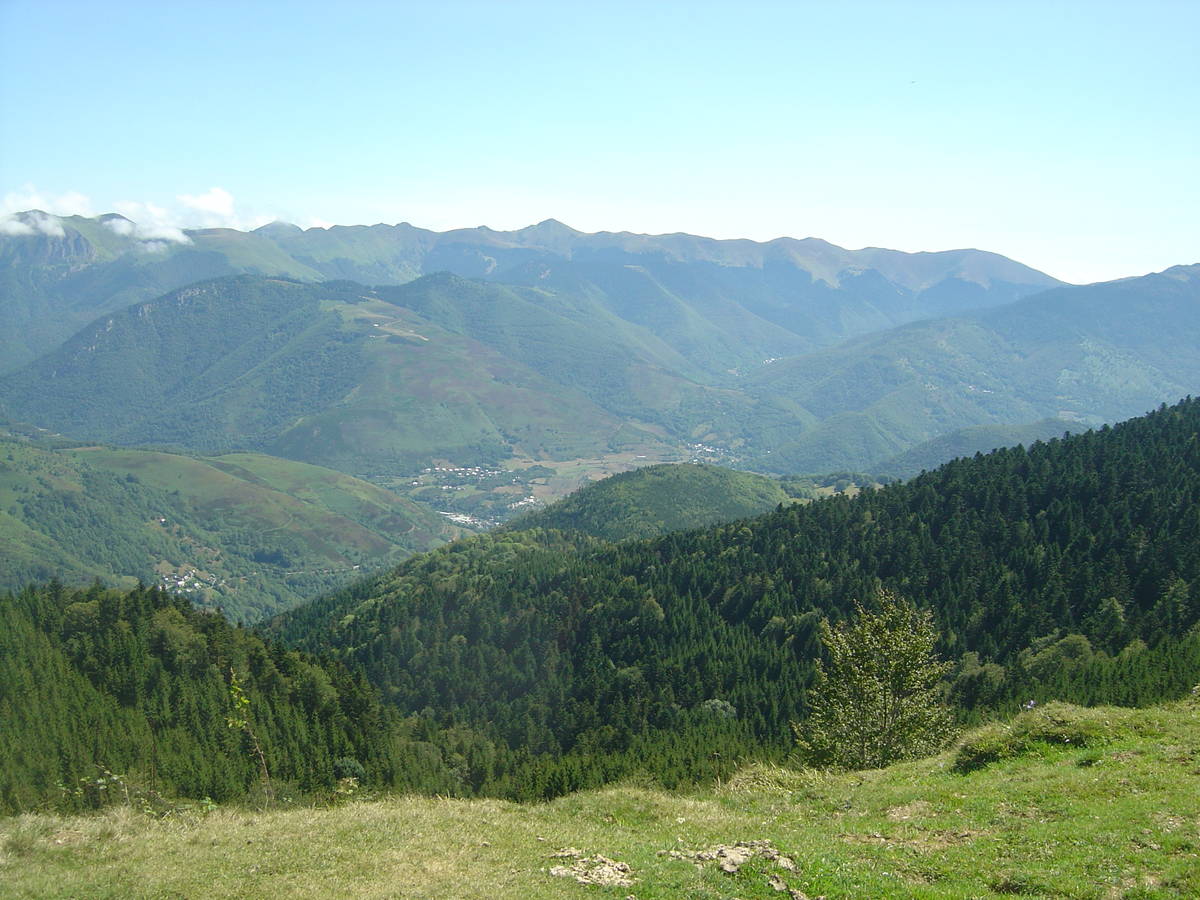
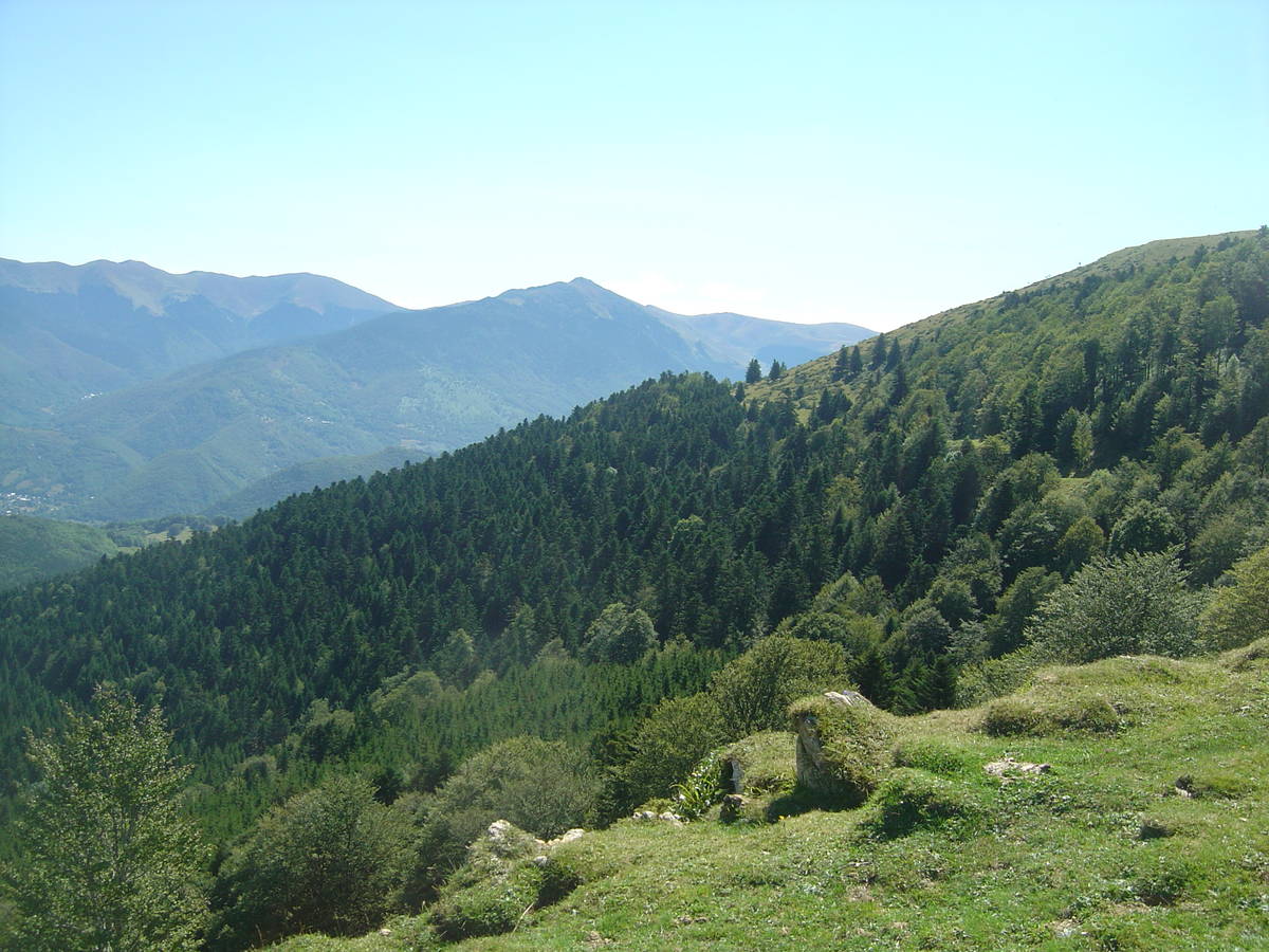
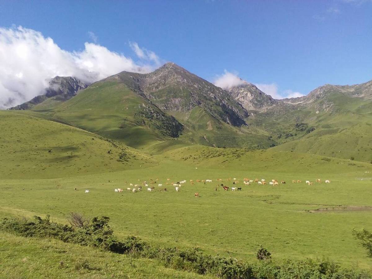
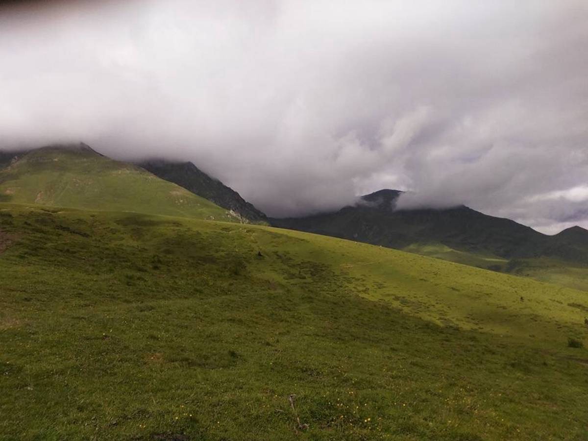
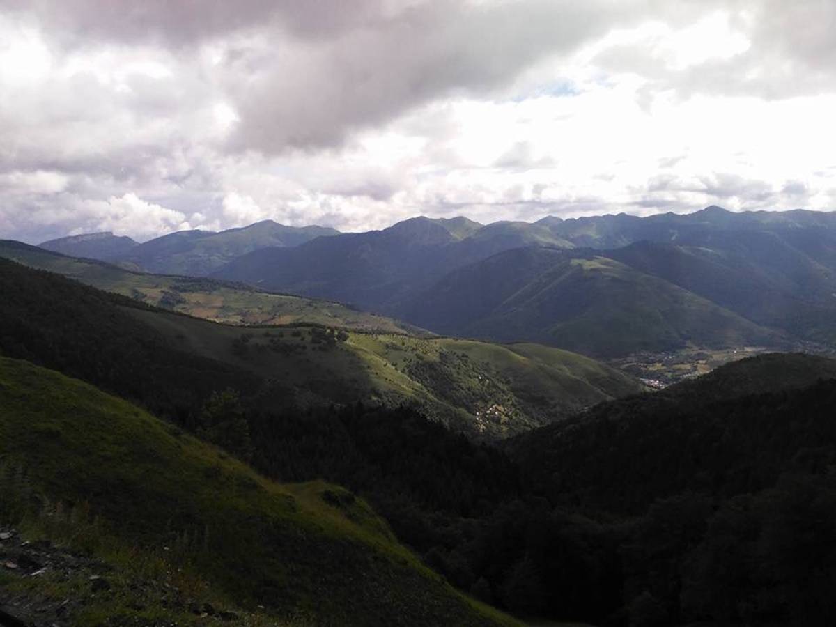
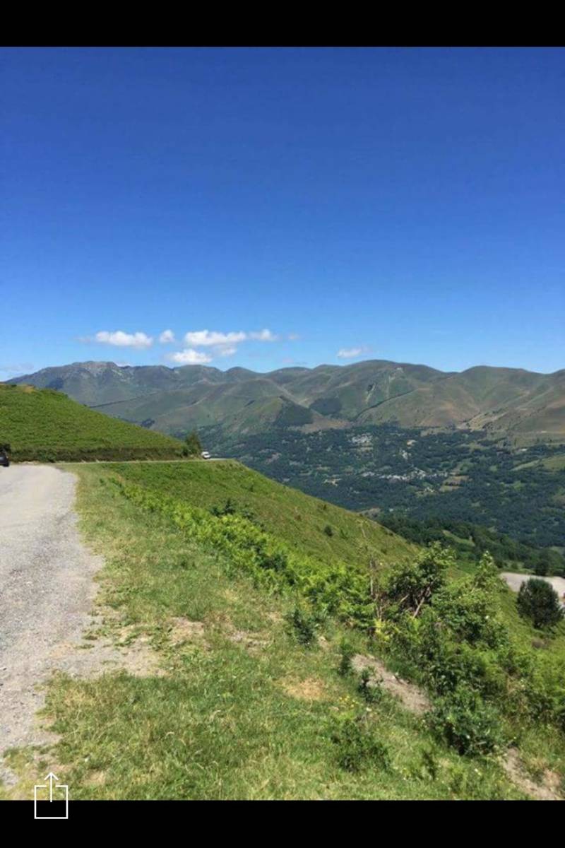
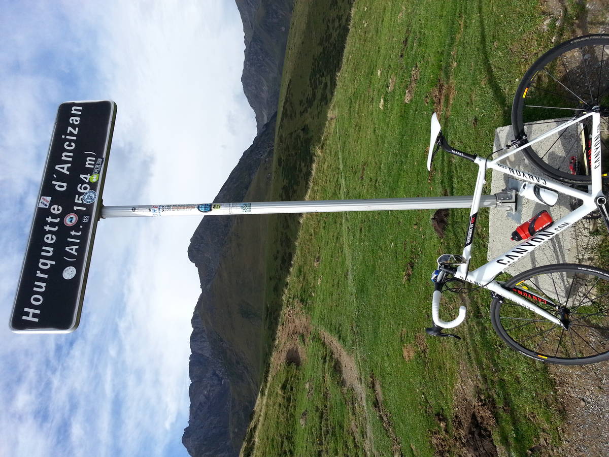
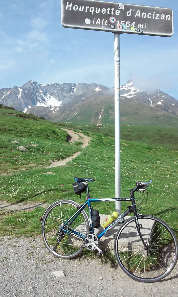
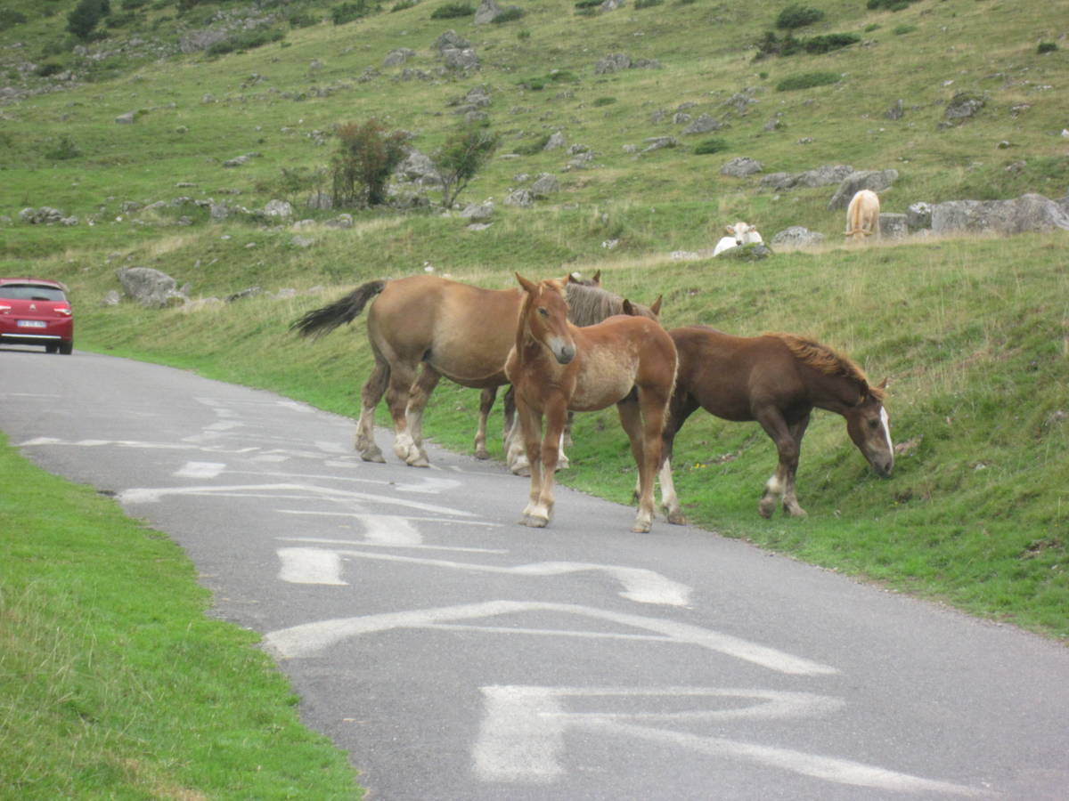
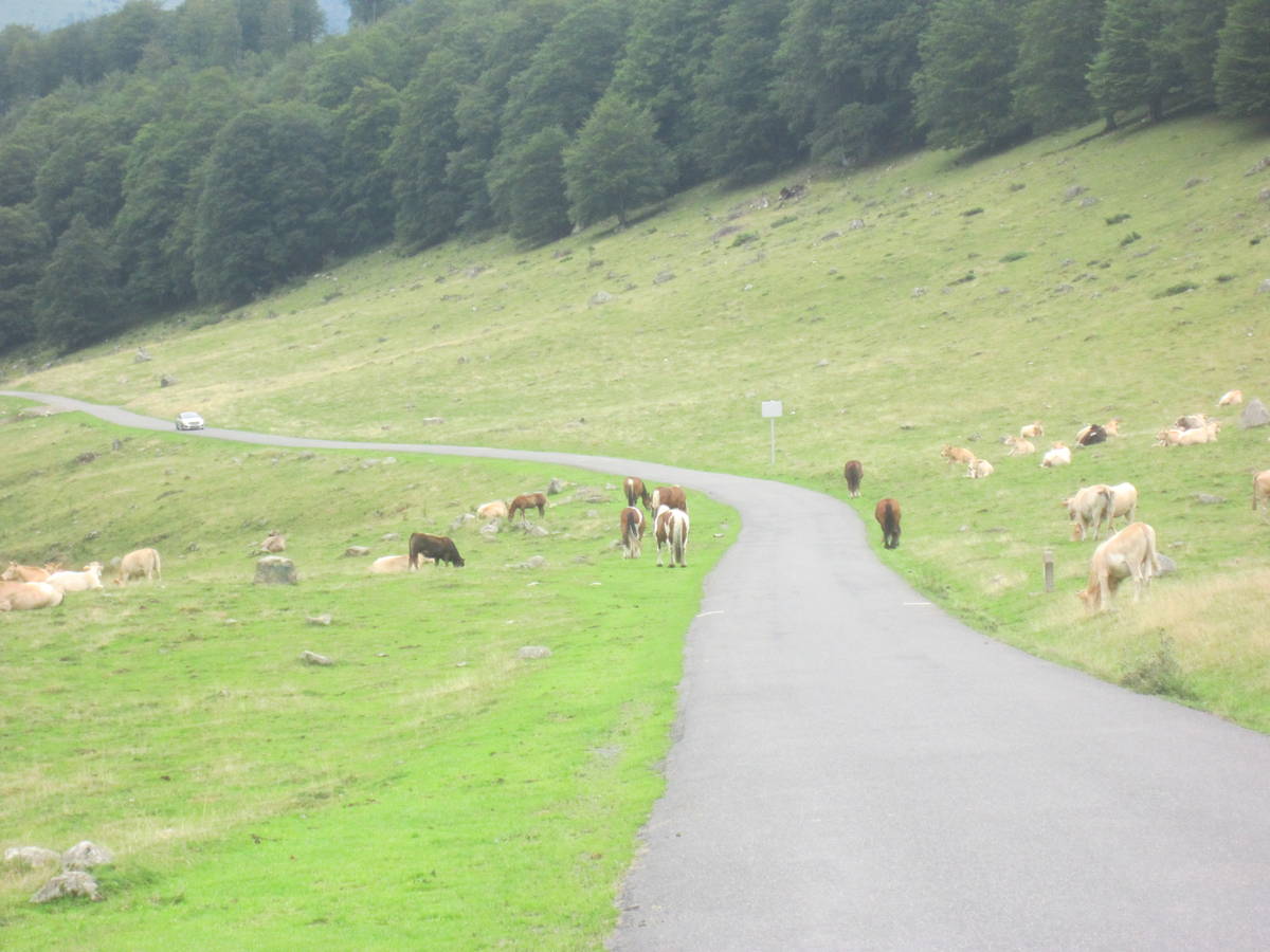
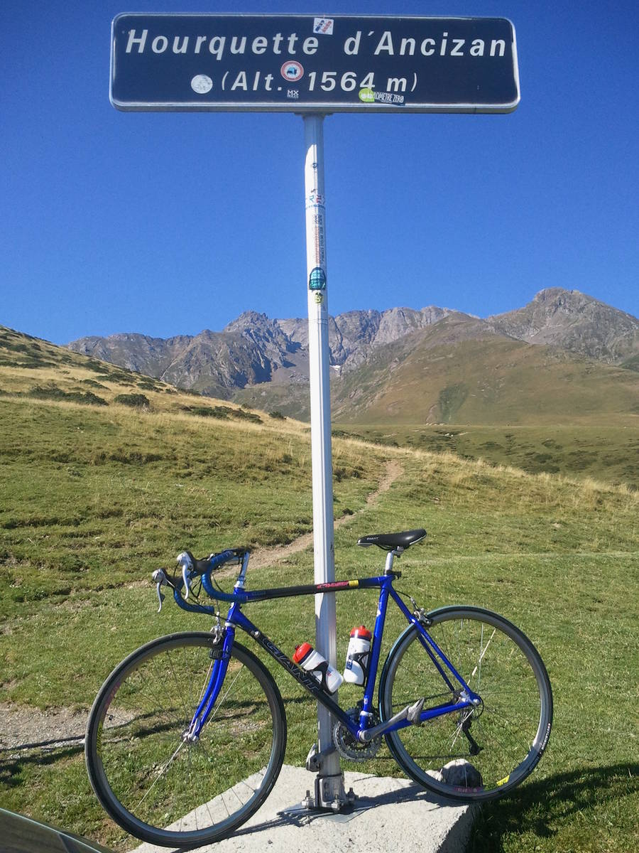
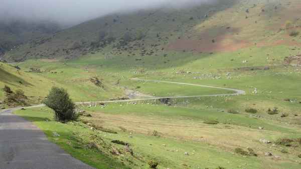
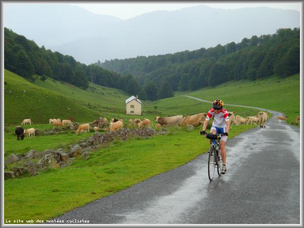
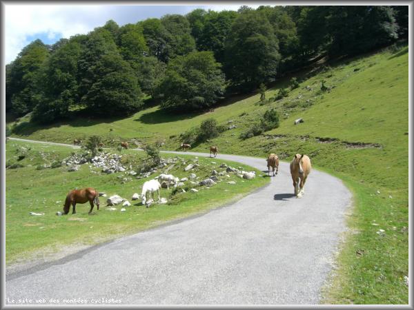
Beautifully quite with forests and wide open spaces. Perfect to combine with the Aspin.
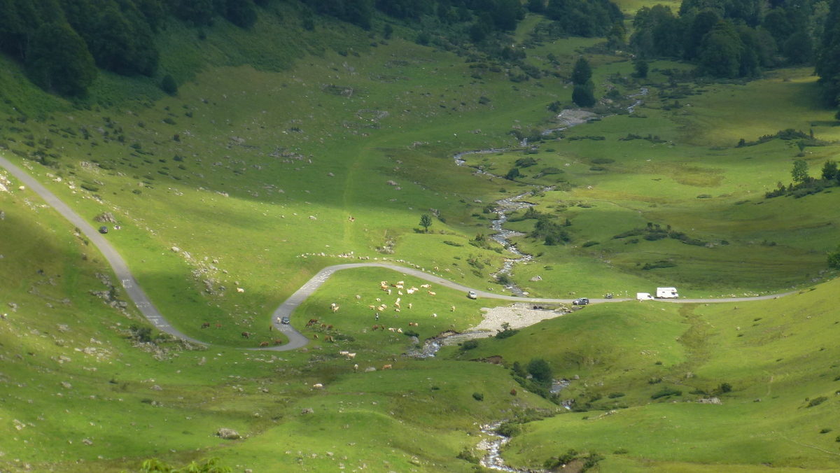
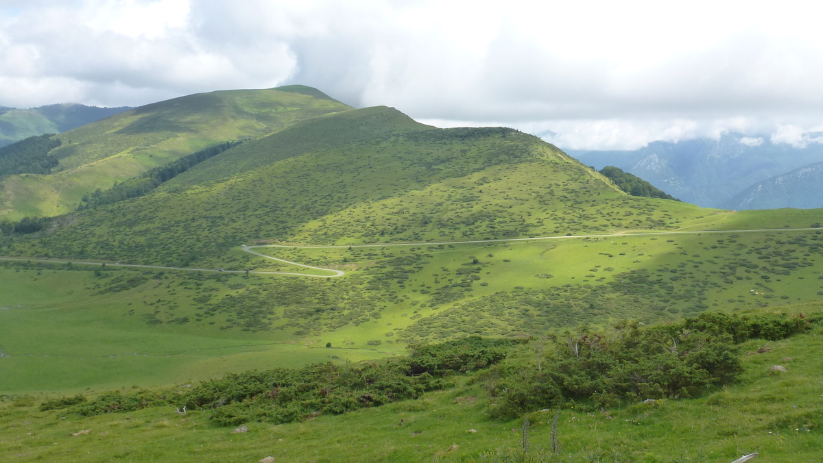
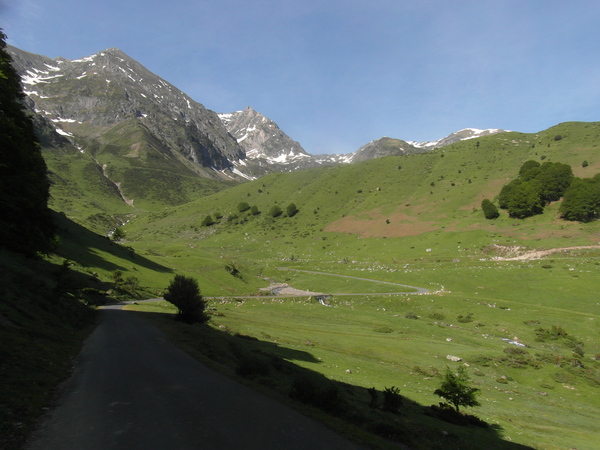
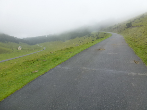
Choose a picture :
Message :
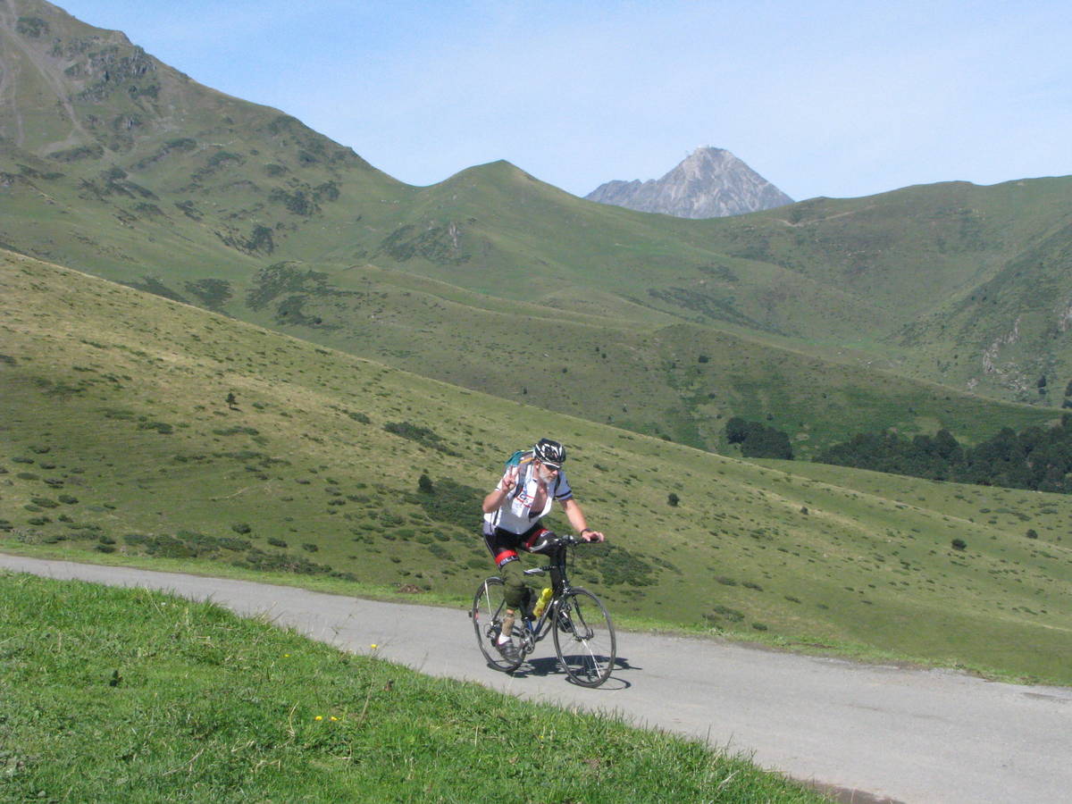
Climbing time :
 Ascents reserved for cyclists