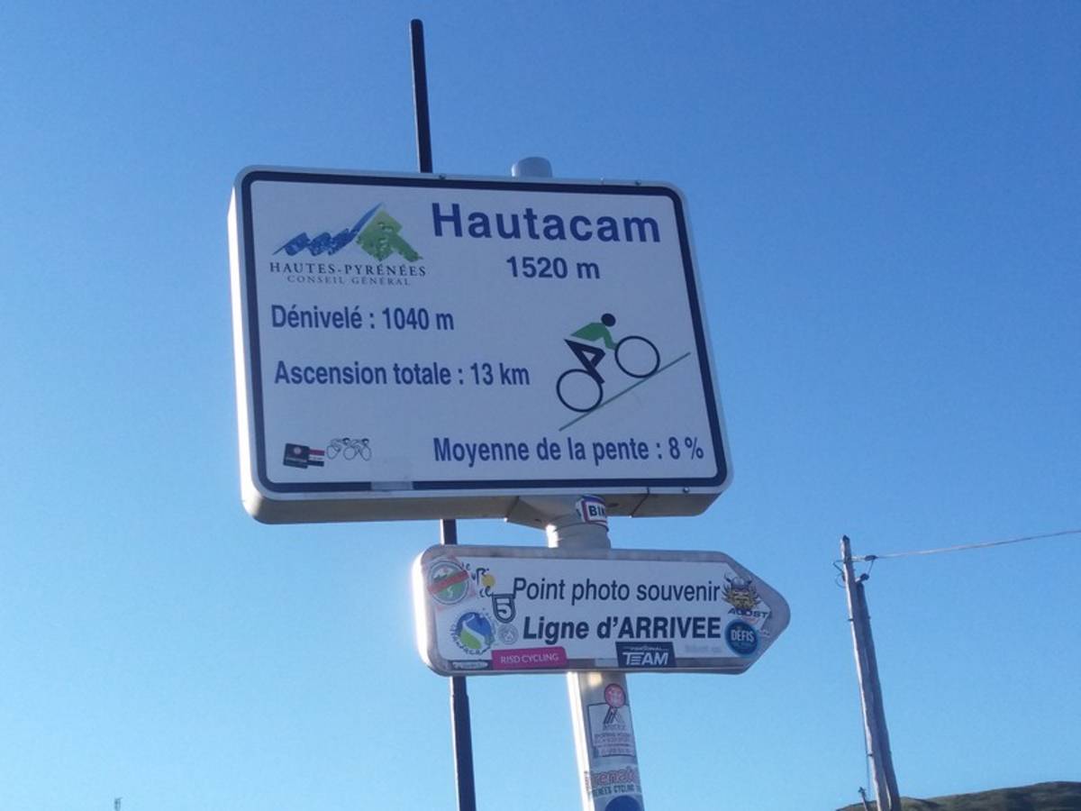
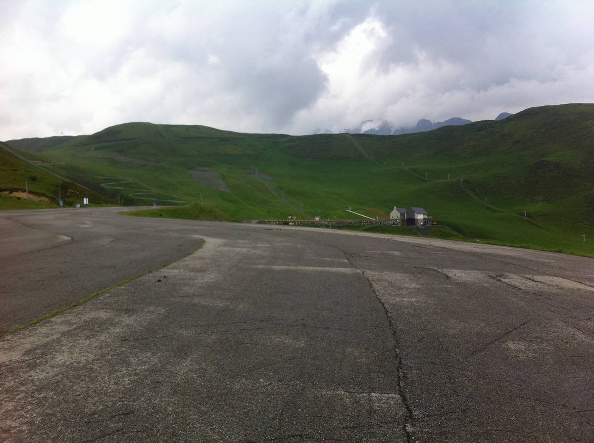
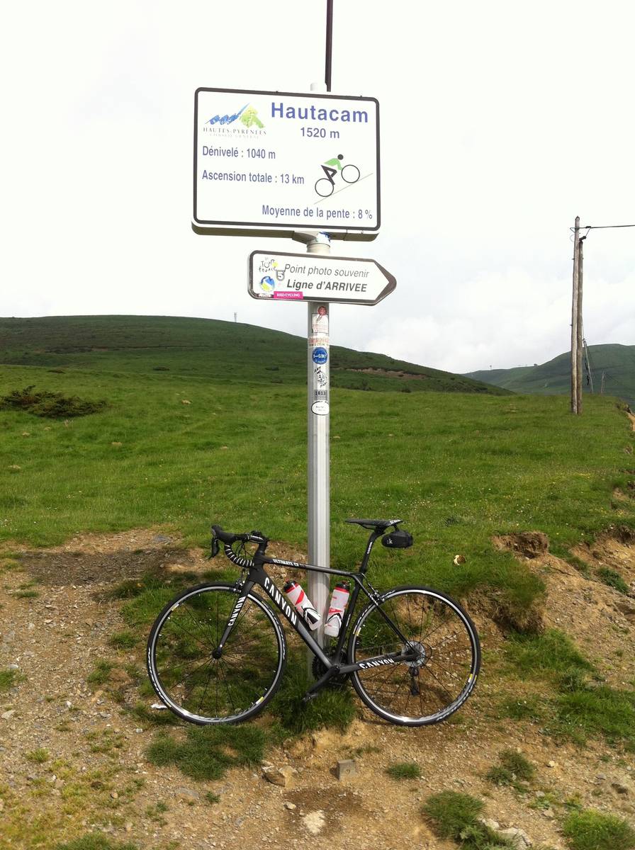
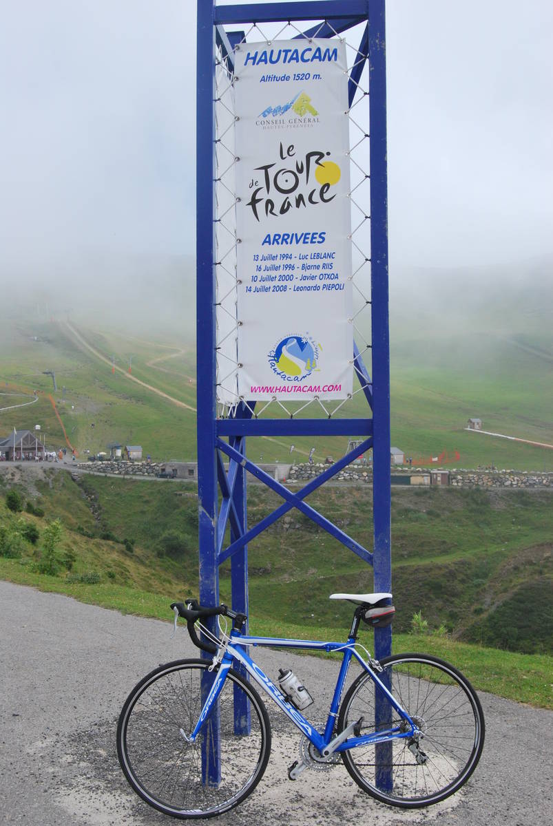
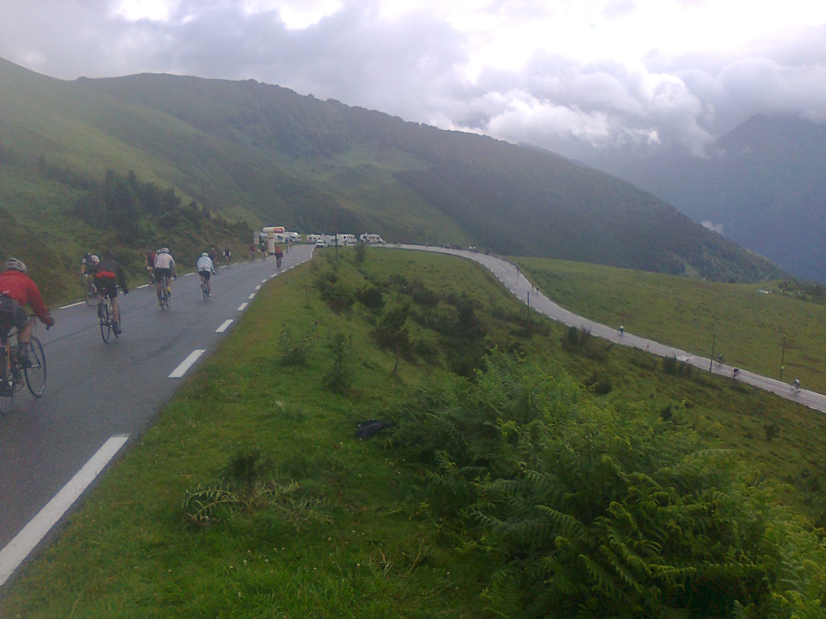
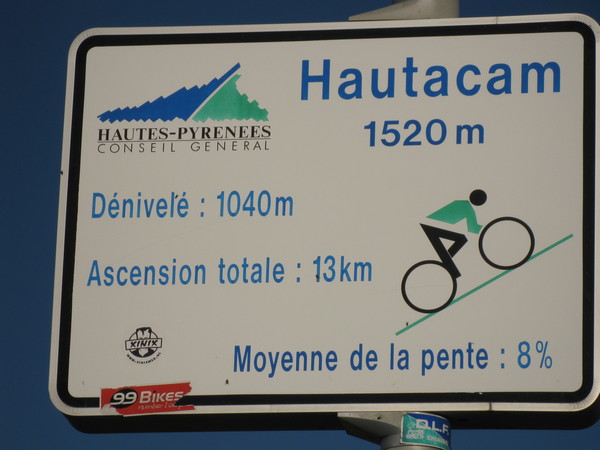
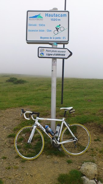
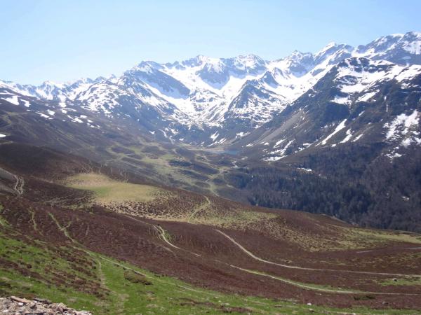
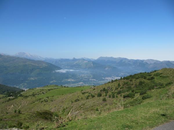
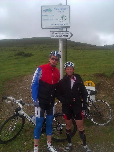
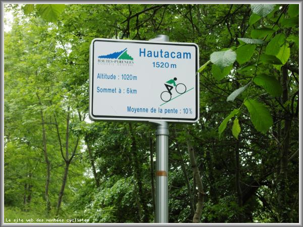
Information
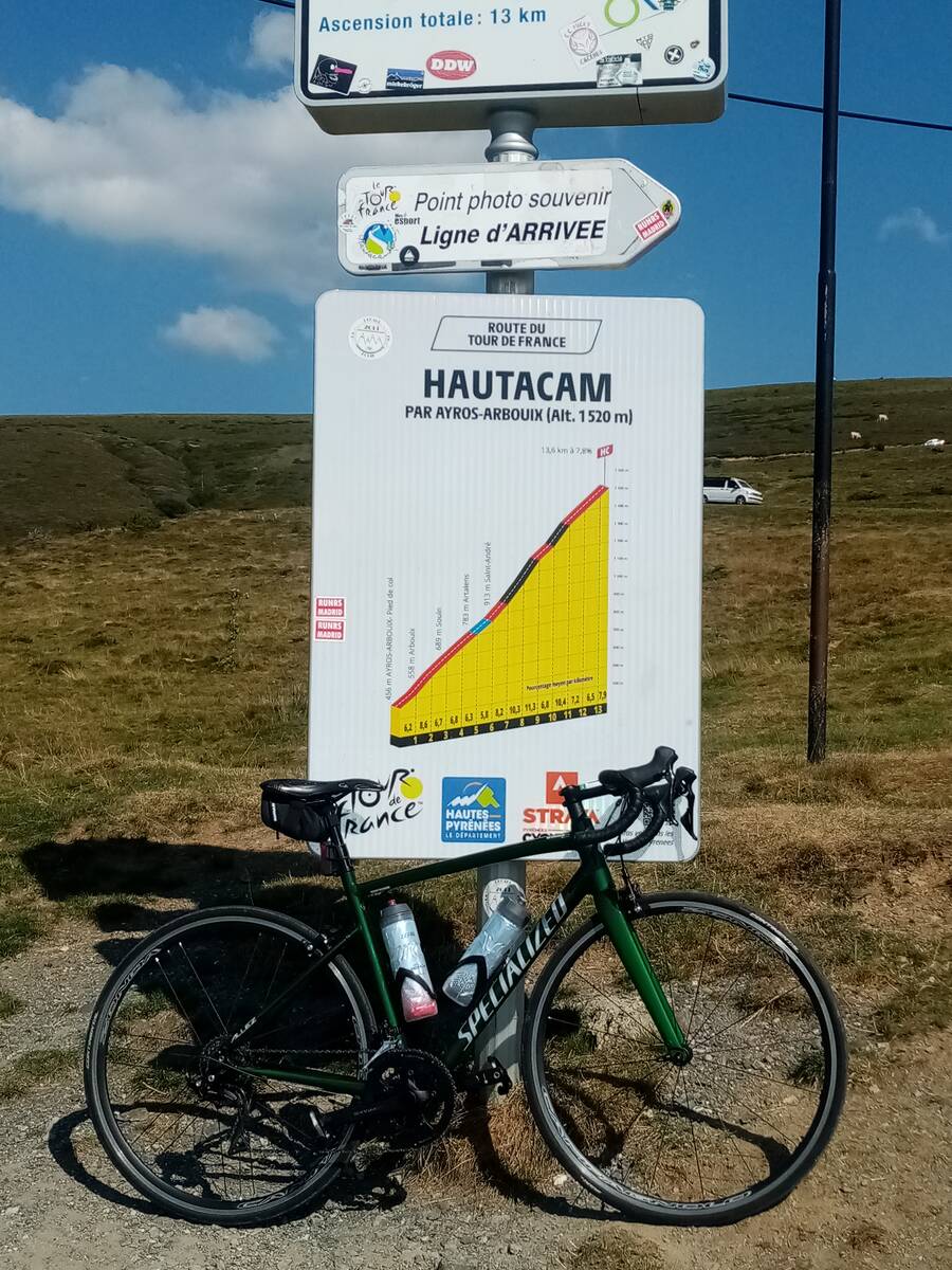
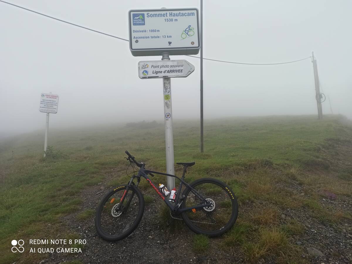
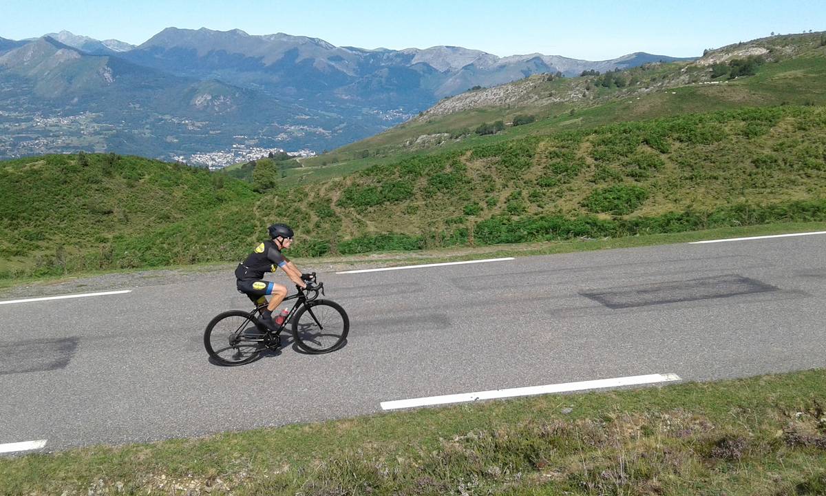
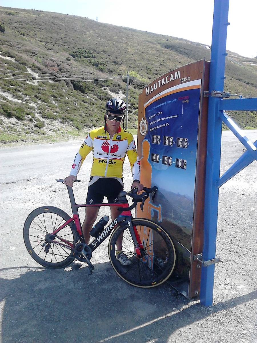
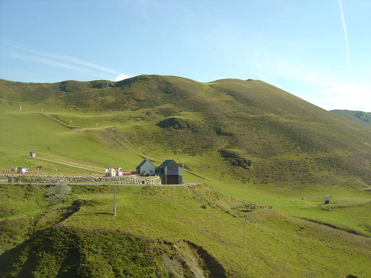
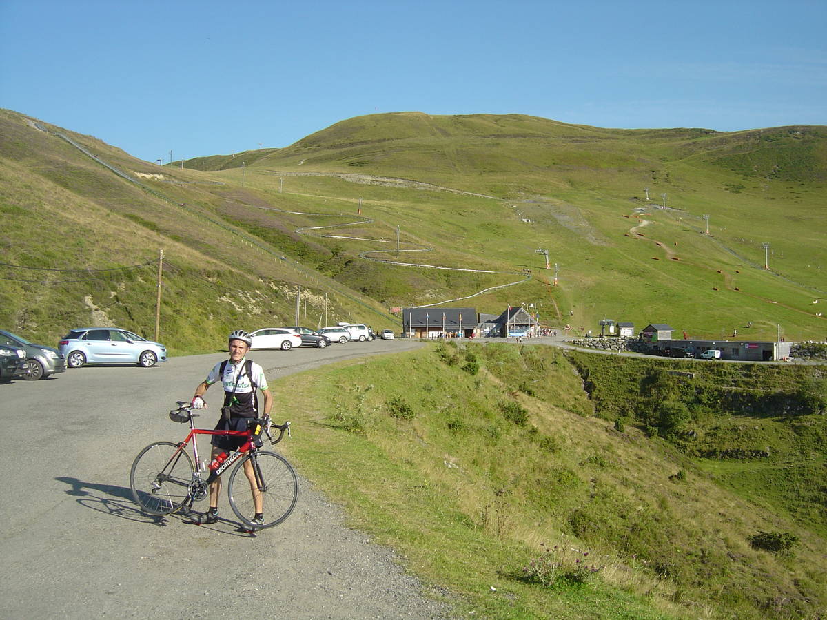
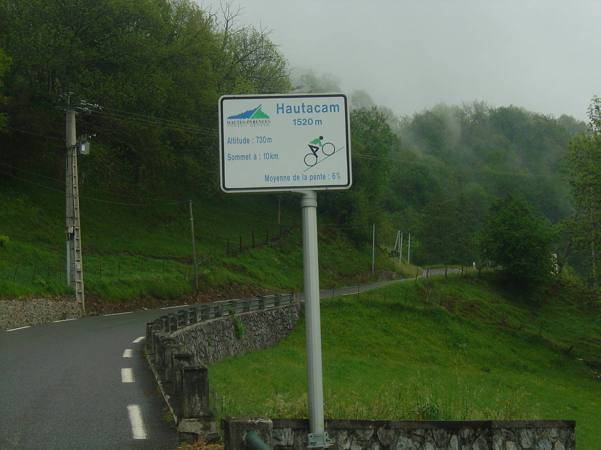
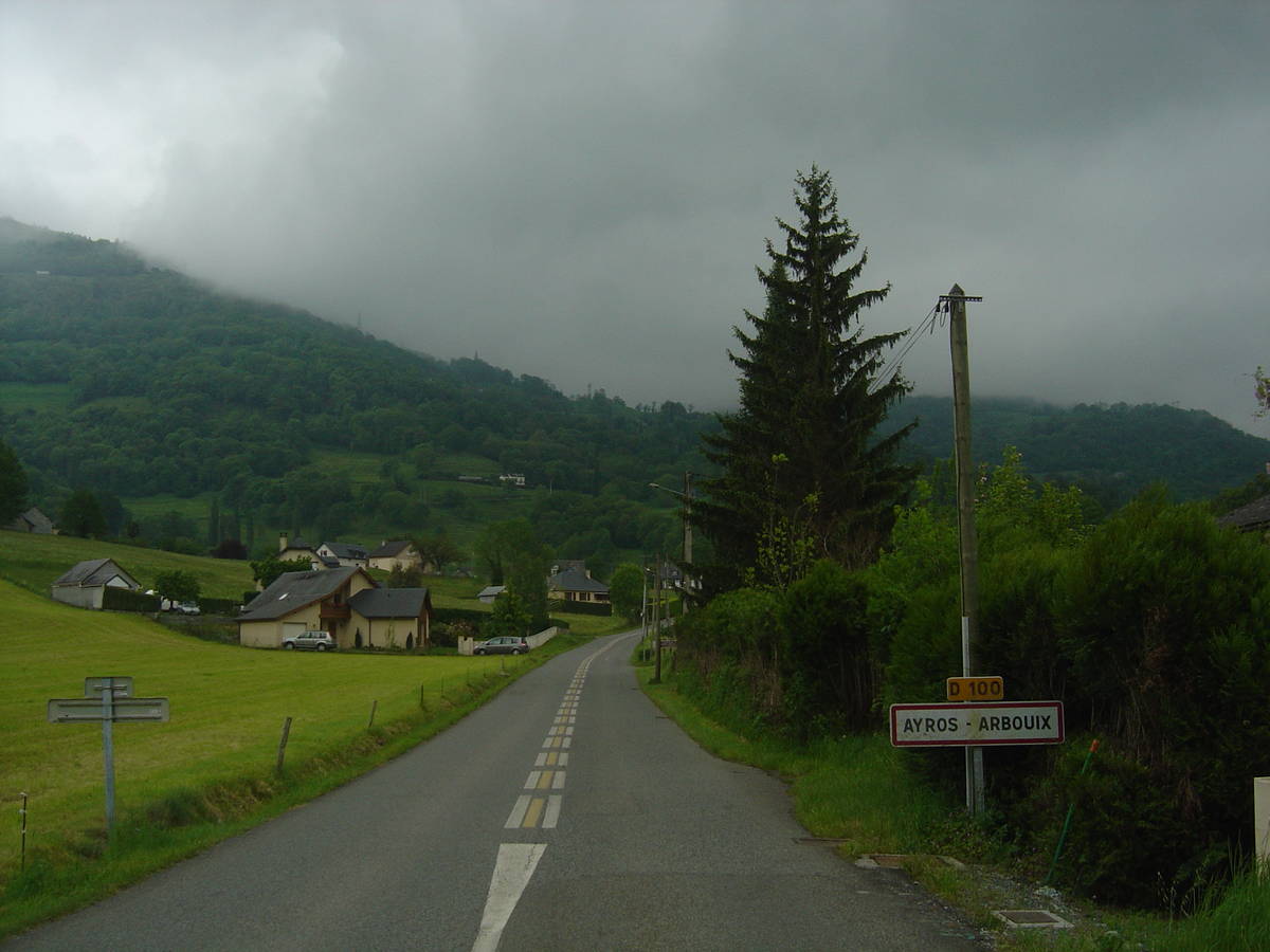
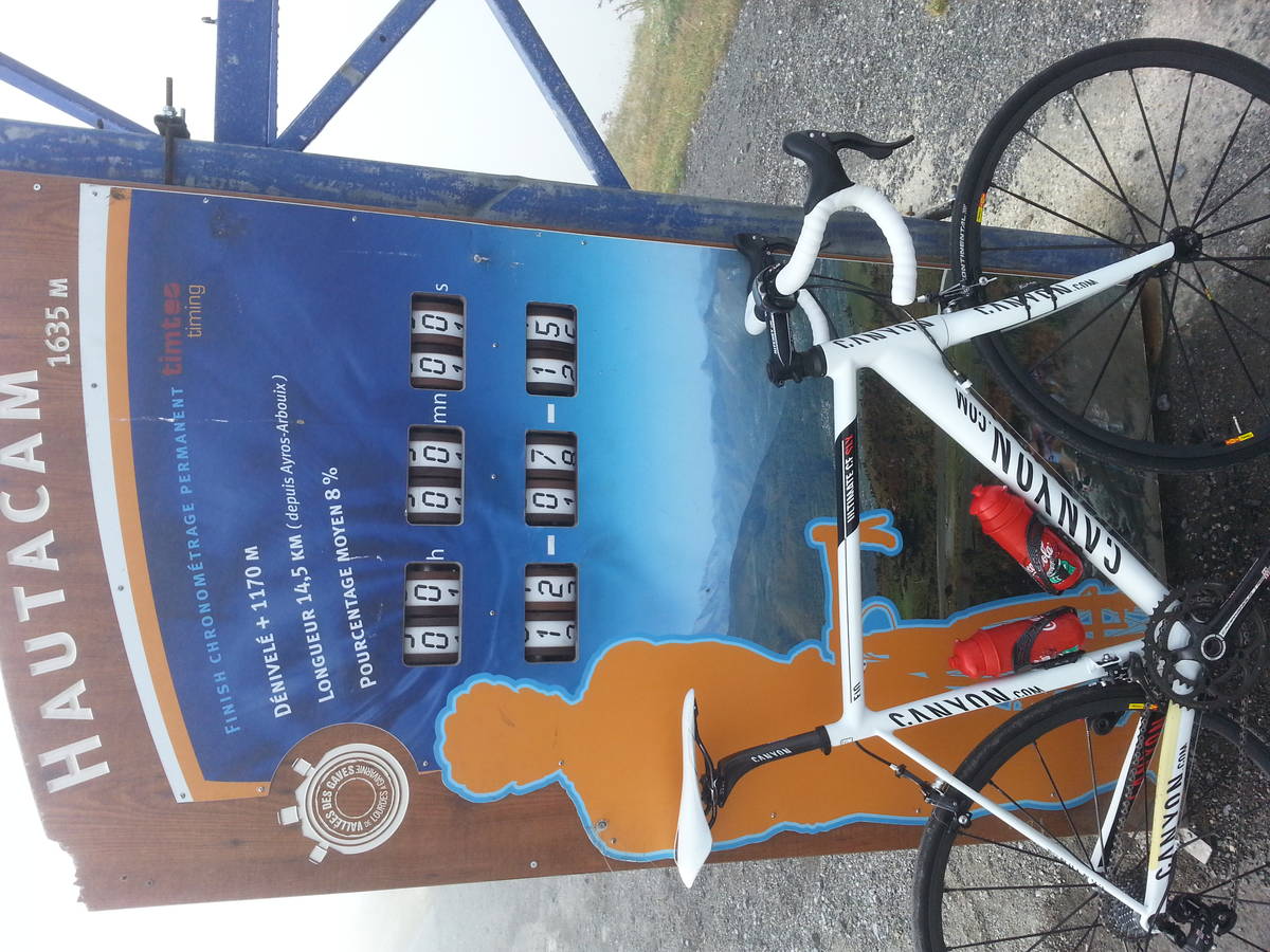
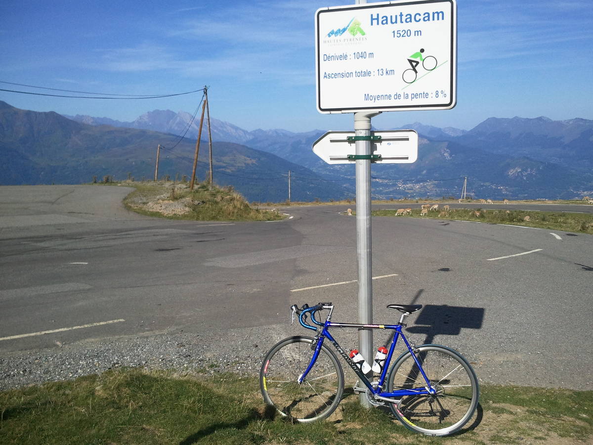
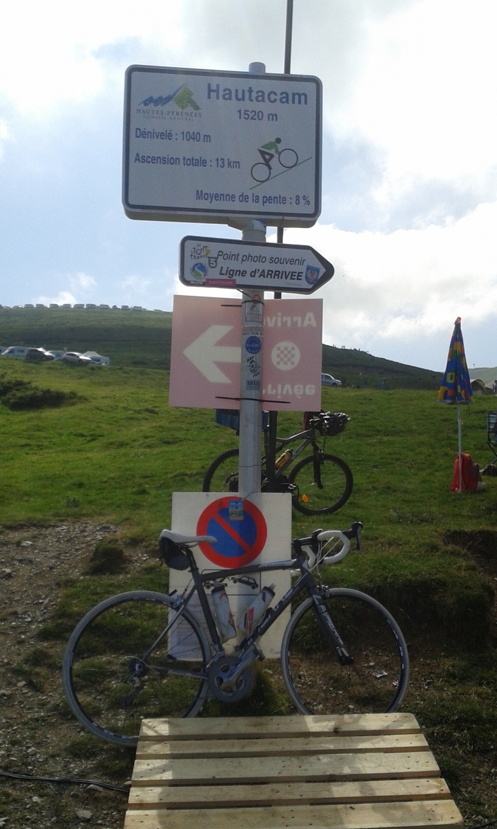
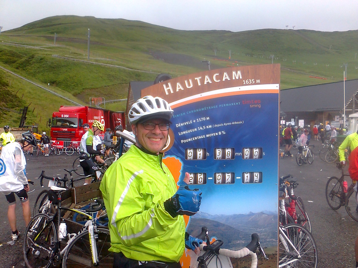
| Name : | Station d'Hautacam |
| Altitude : | 1520 m |
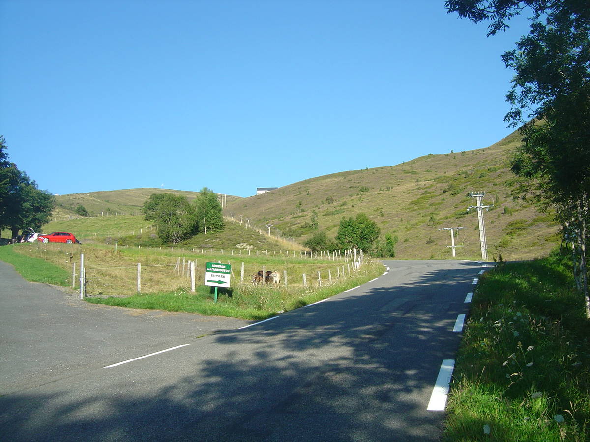
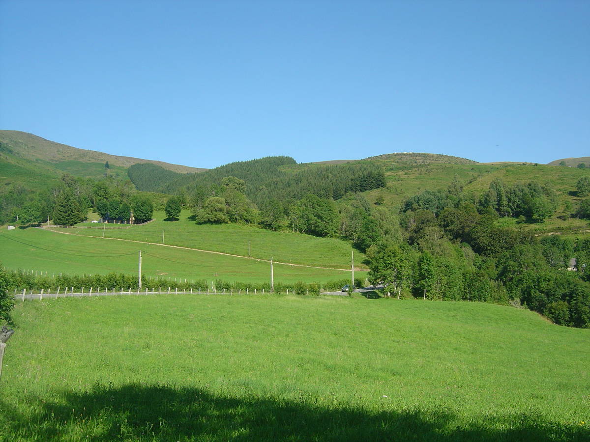
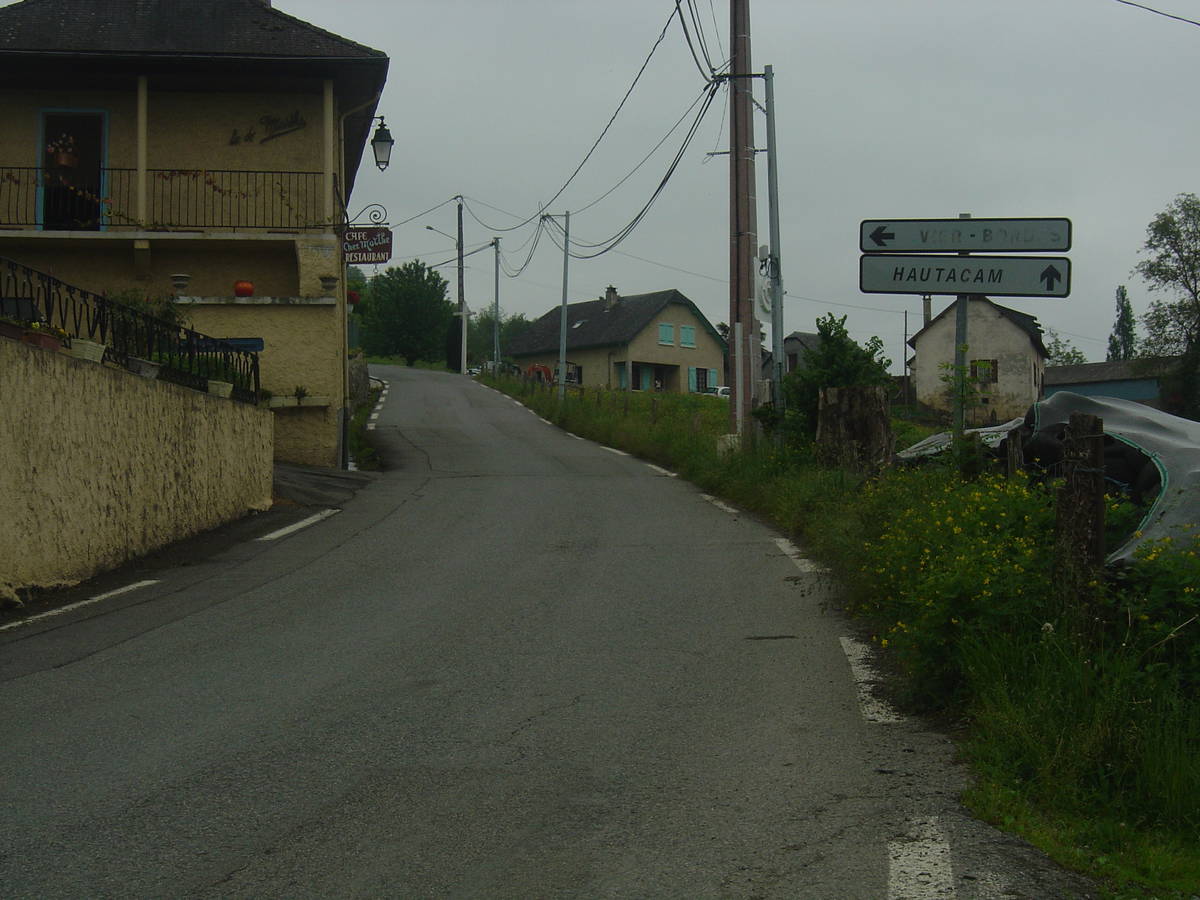
| Start : | Argeles Gazost |
| Length : | 14.20 km |
| Elevation gain : | 1096 m |
| % Avg : | 7.72% |
| % Max : | 11.7% |
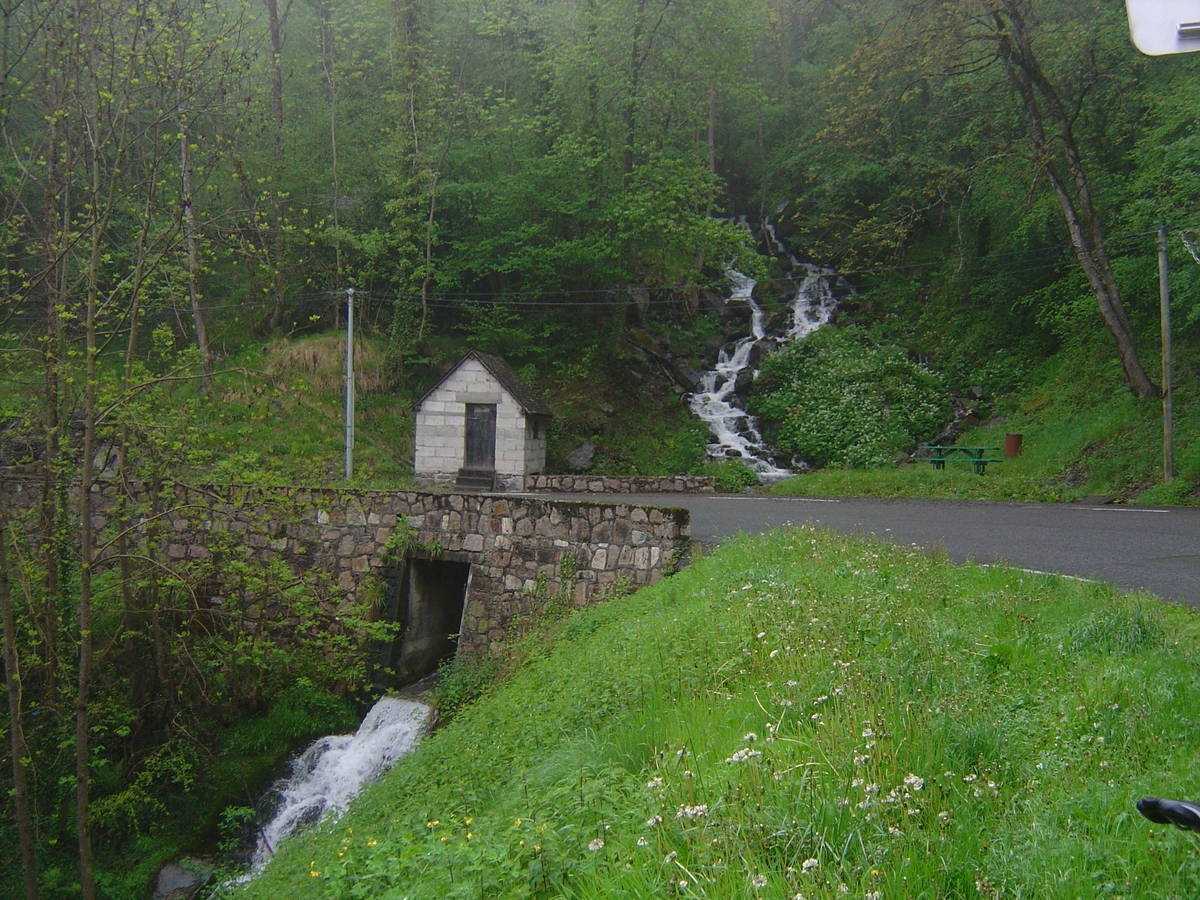
| Mountain range : | Central pyrenees, France |
Map
Profile

 This climb is reserved for cyclists on 16/07/2026 : This climb is reserved for cyclists on 24/07/2025 : This climb is reserved for cyclists on 18/07/2024 : This climb is reserved for cyclists on 13/07/2023 : This climb is reserved for cyclists on 25/07/2019 :