Information
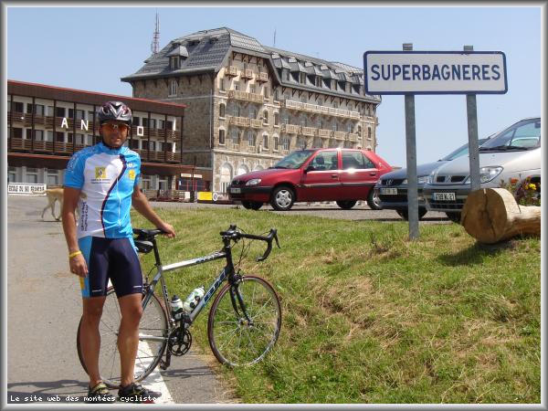
Map
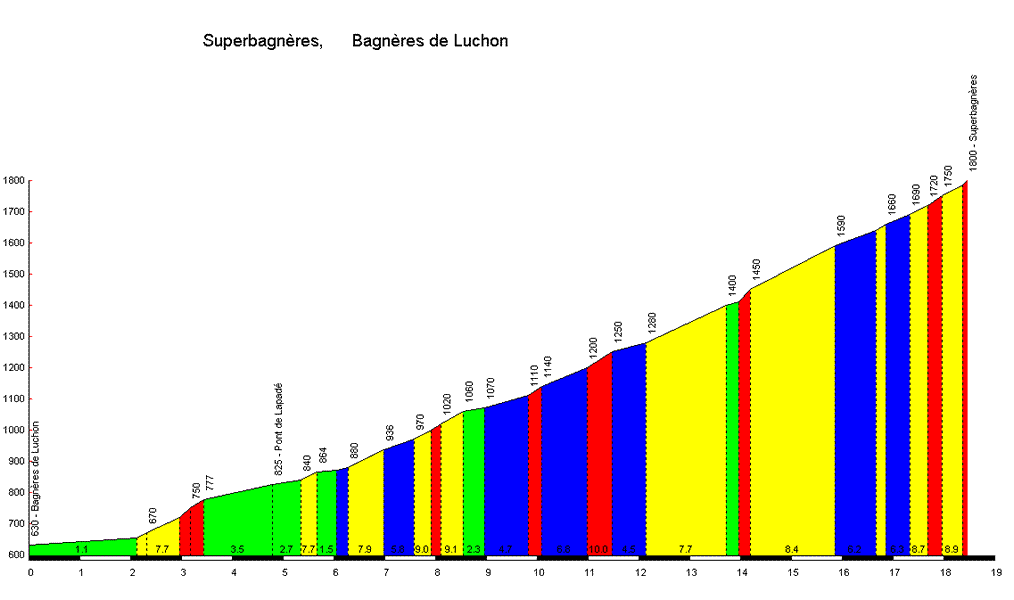
Profile
Login or Create your account
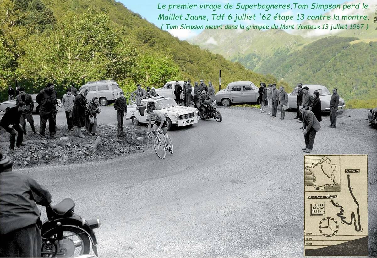
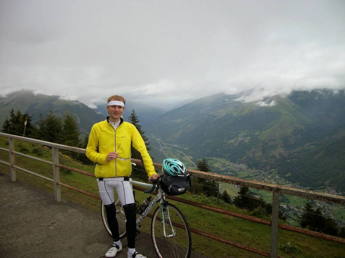
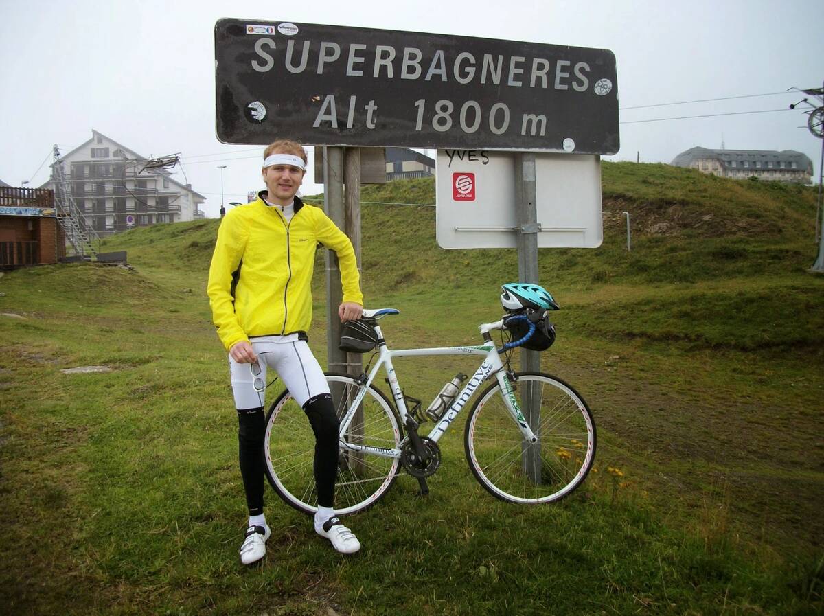
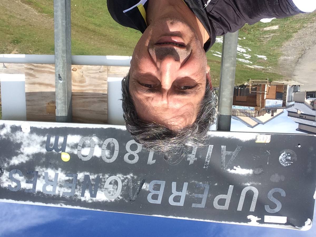
01:40:01 • Galvañ diez A • Comment posted on 12/11/2018
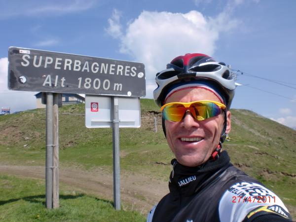
2014
Choose a picture :
Message :
Climbing time :
 Ascents reserved for cyclists