Information
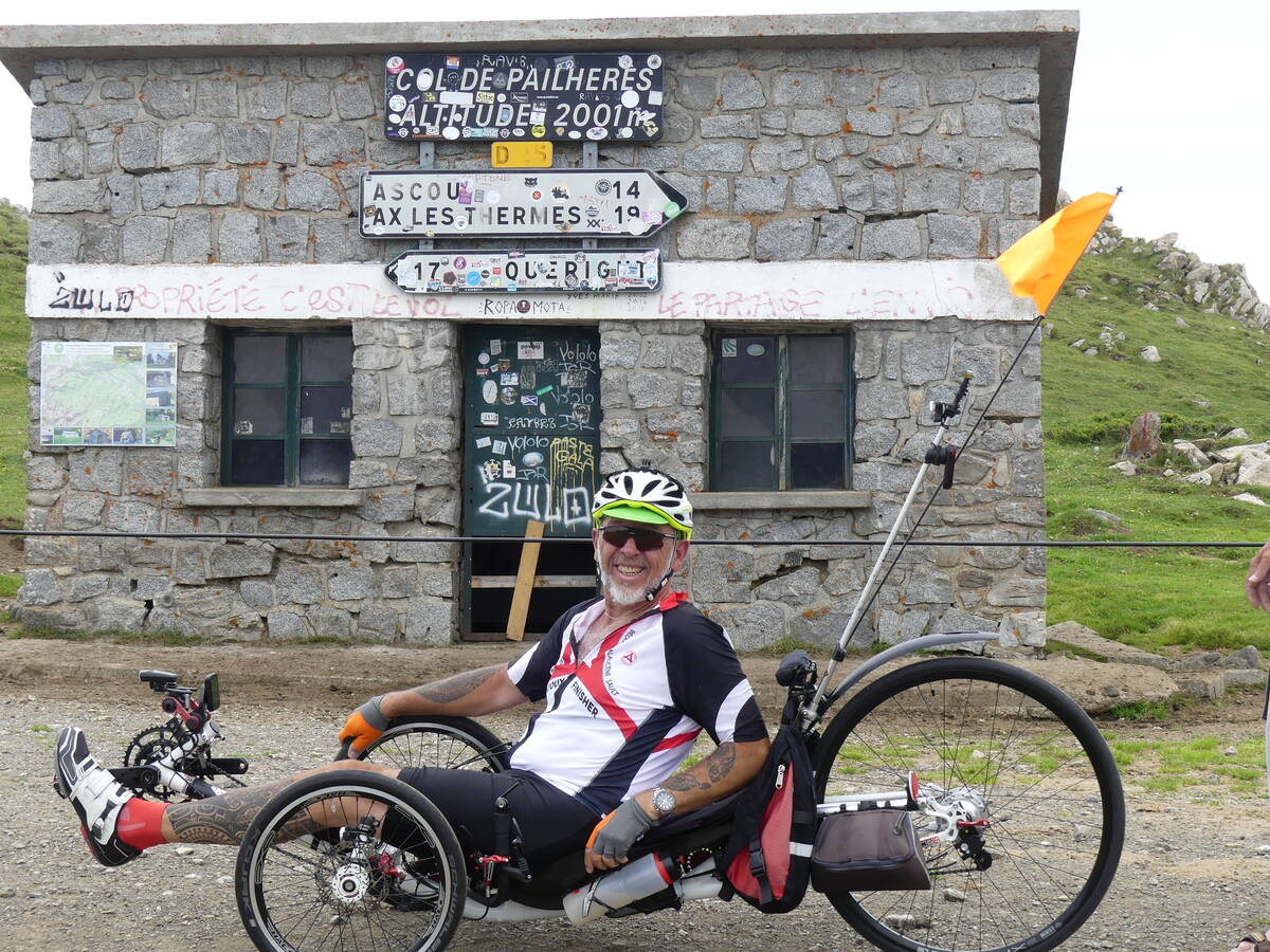
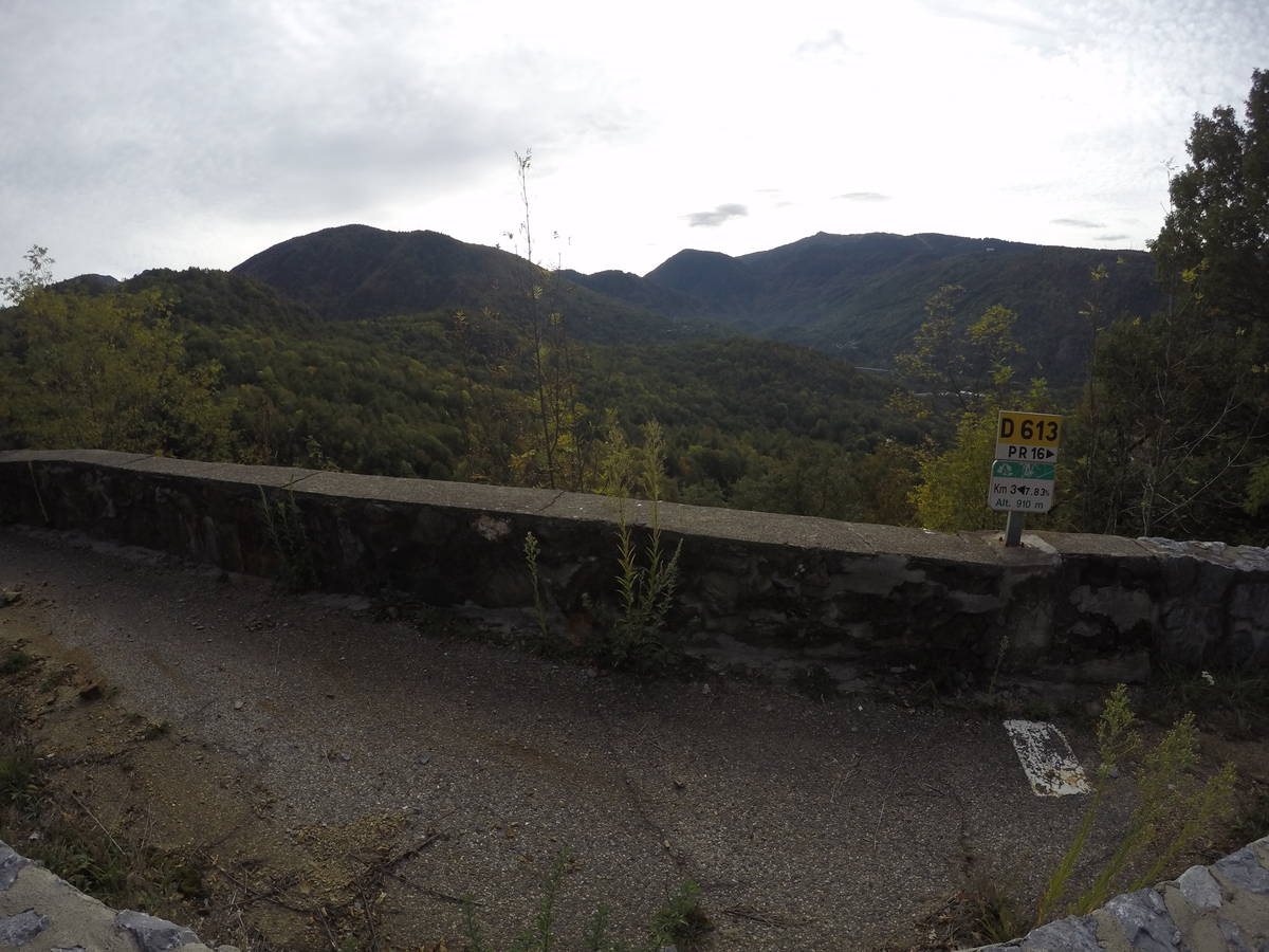
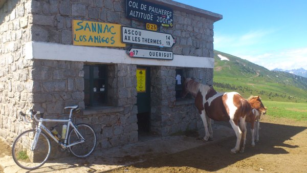
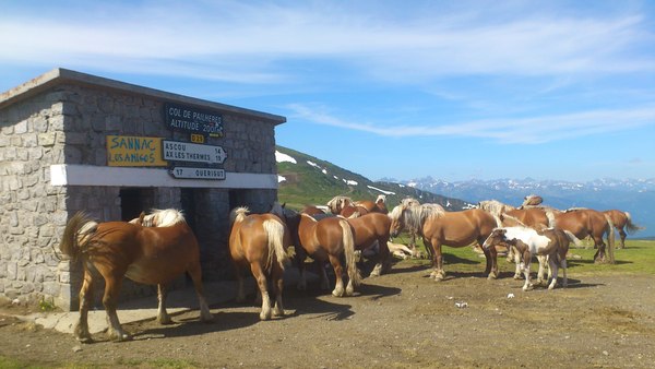
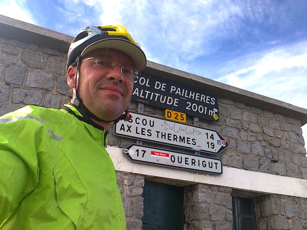
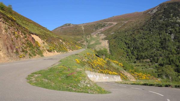
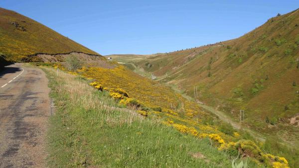
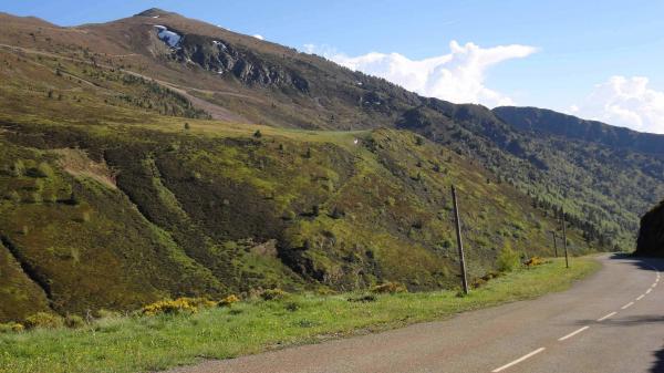
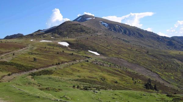
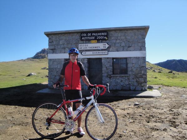
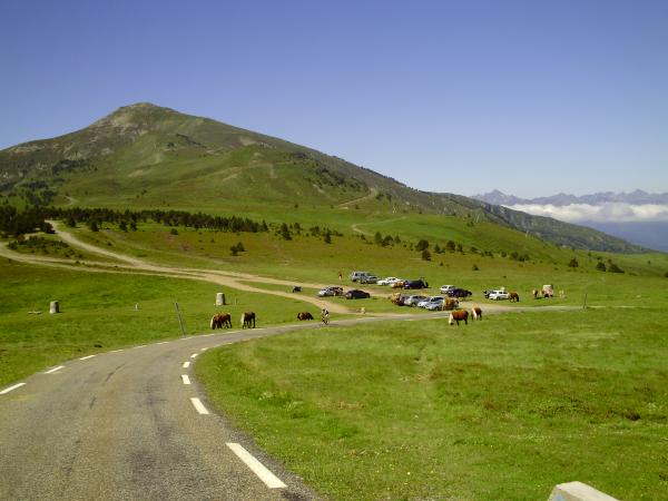
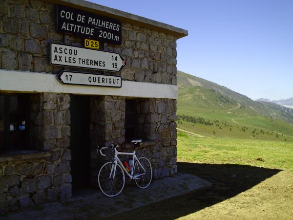
| Name : | Port de Pailhères |
| Altitude : | 2001 m |
| Opening : |  Ouvert Ouvert |
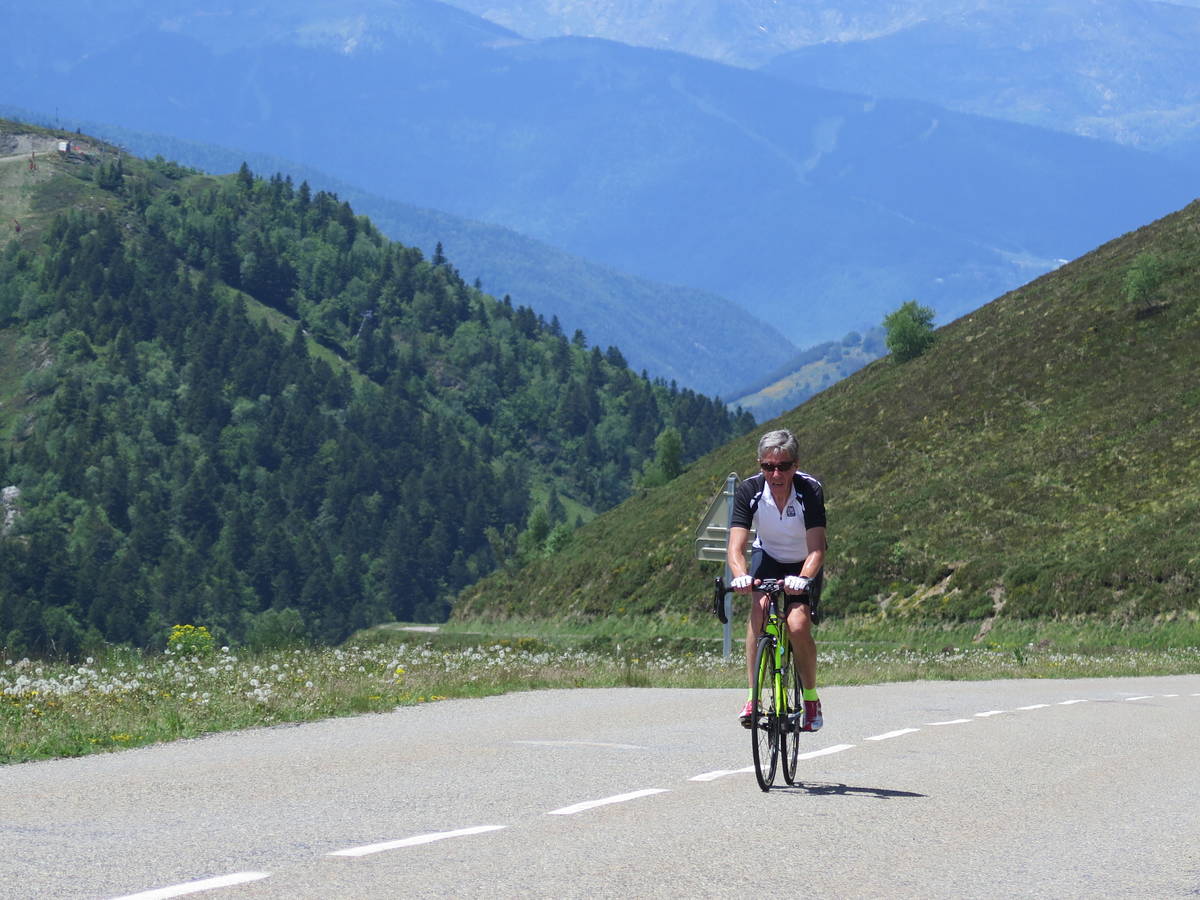
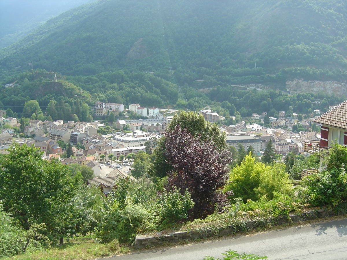
| Start : | Ax les Thermes |
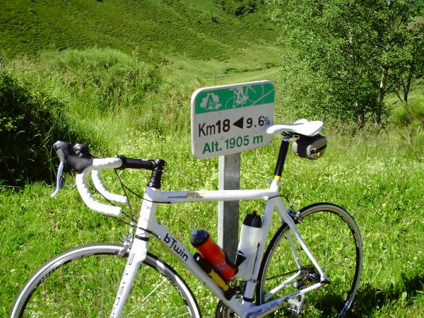
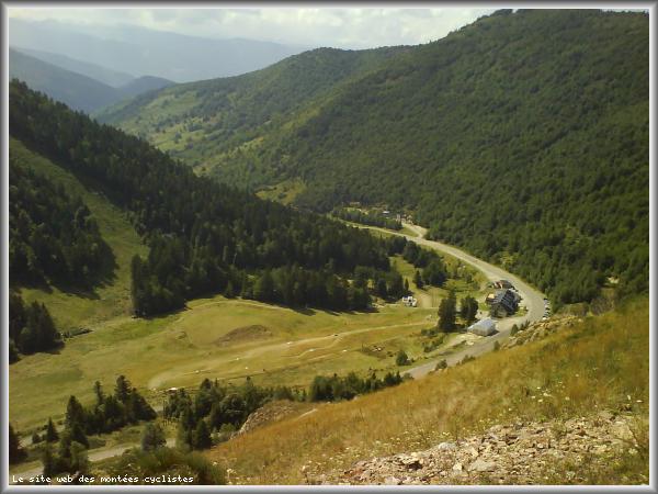
| Length : | 18.60 km |
| Elevation gain : | 1281 m |
| % Avg : | 6.89% |
| % Max : | 10.4% |
| Mountain range : | Eastern pyrenees, France |
There's other climb of this summit
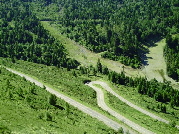
Map
Profile

 Ascents reserved for cyclists