Information
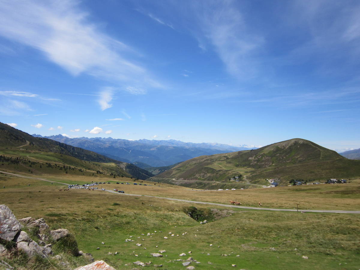
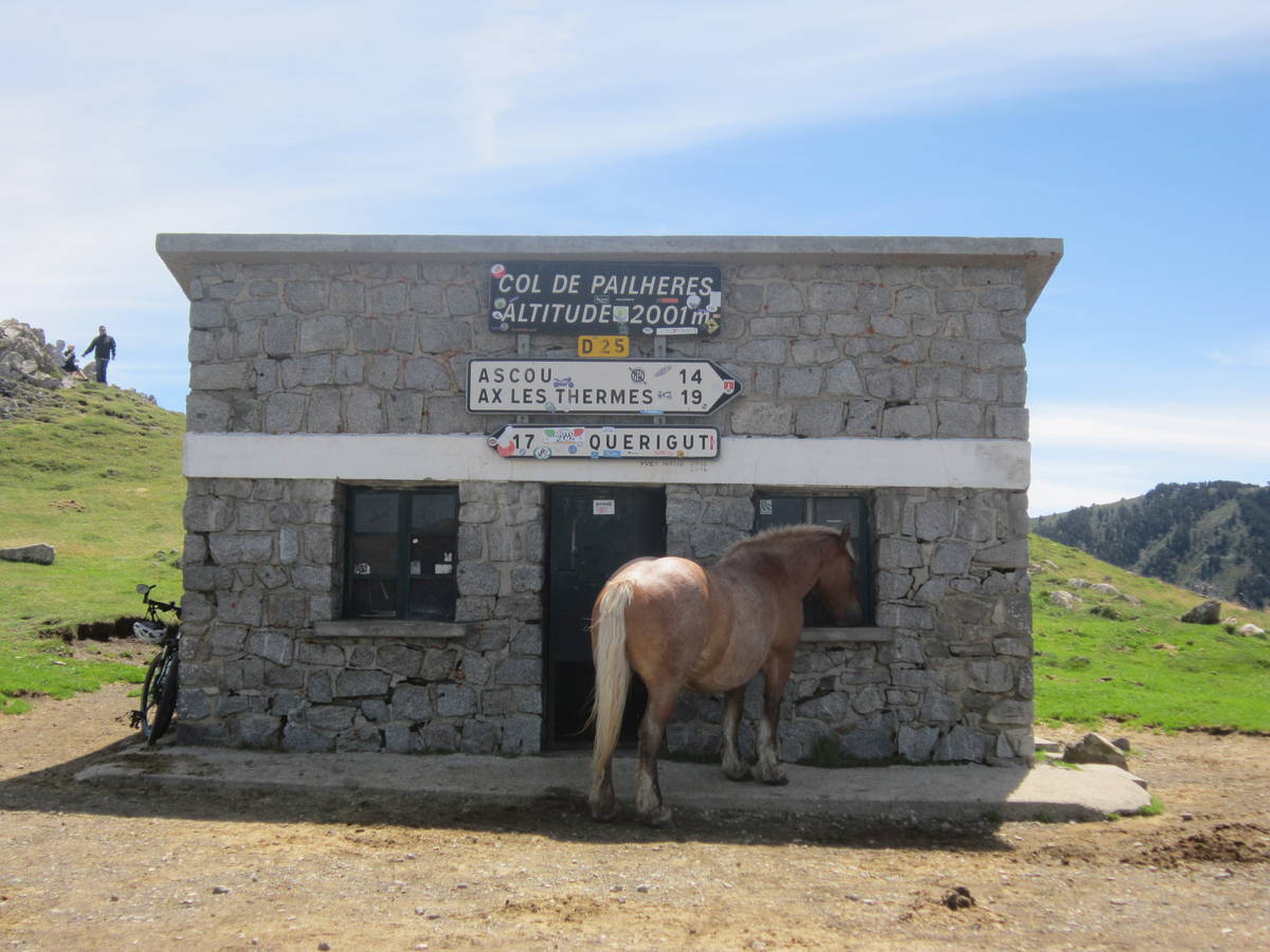
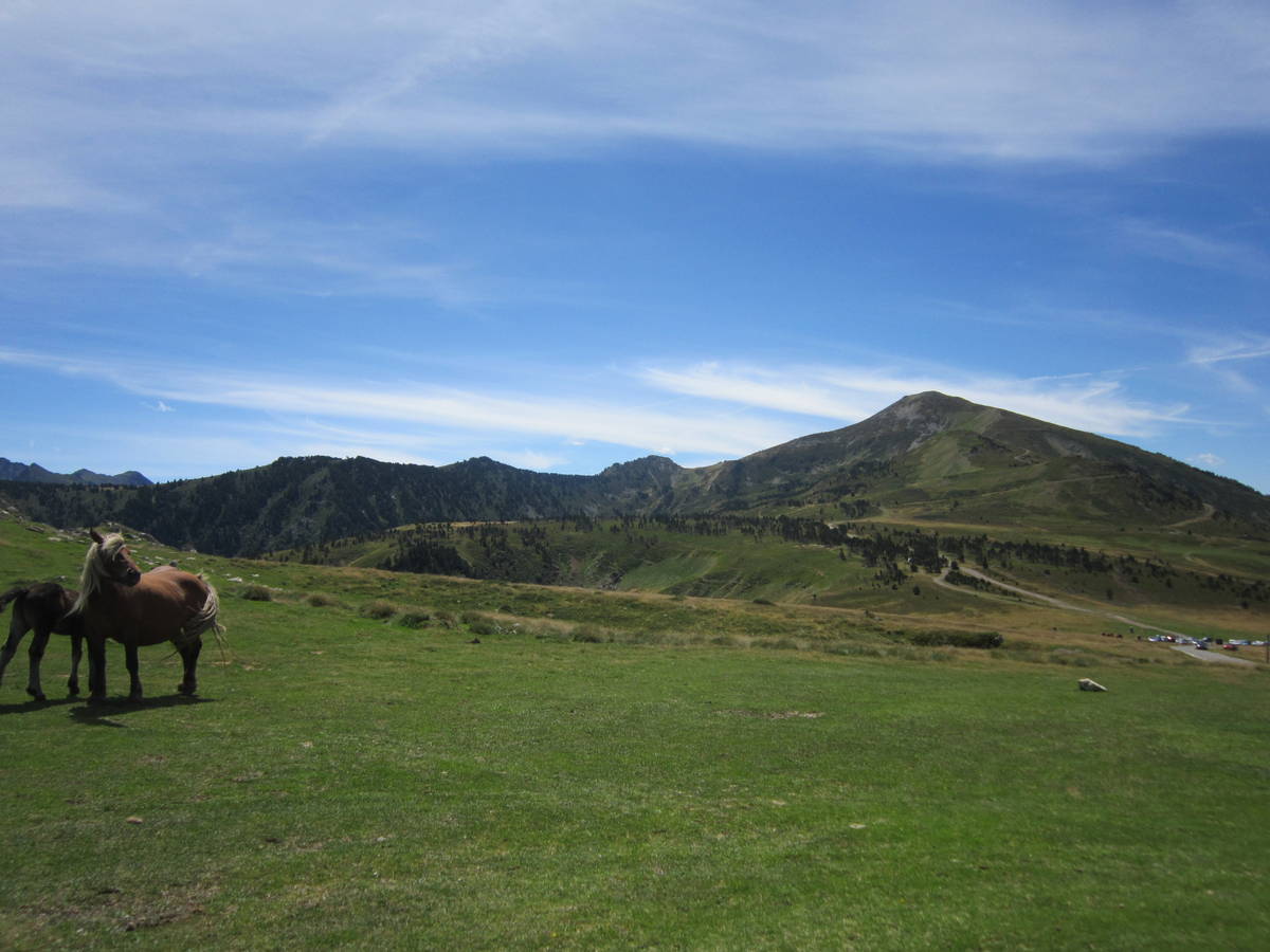
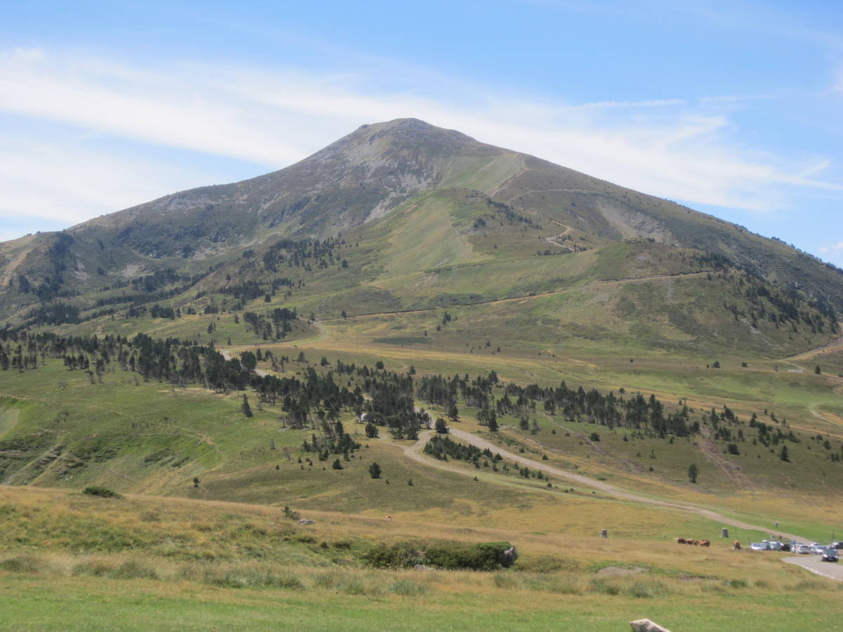
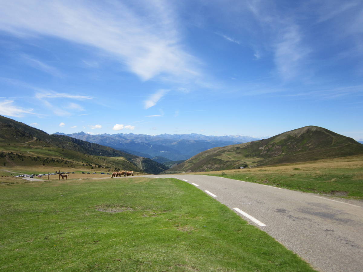
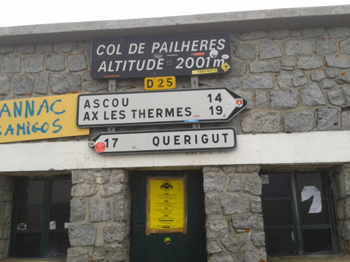
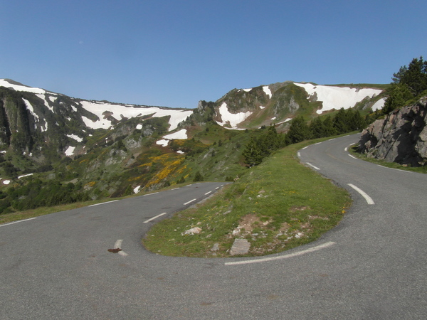
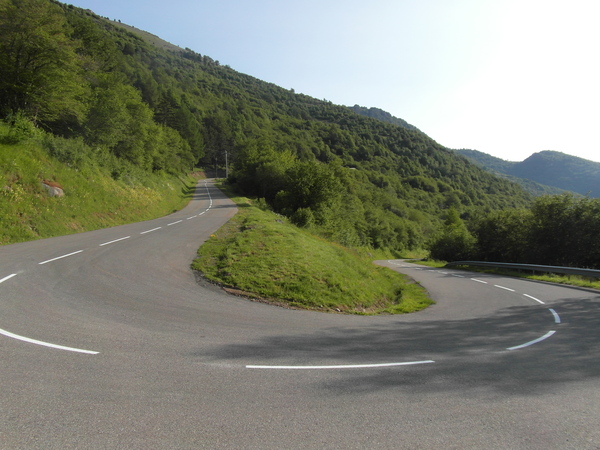
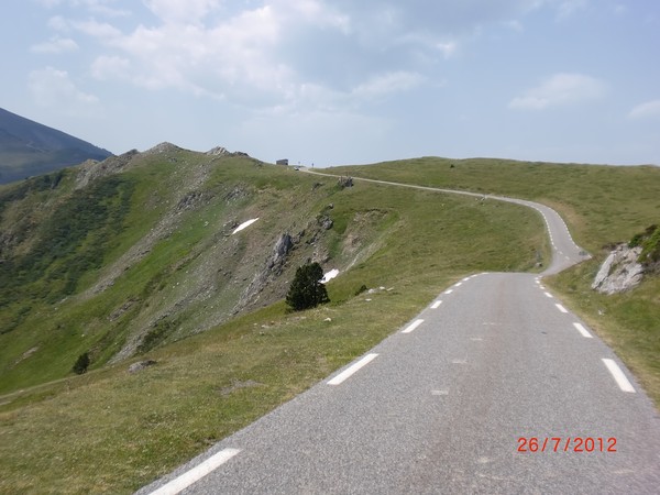
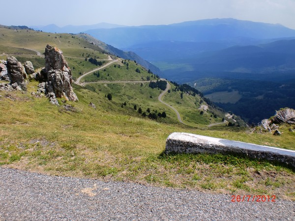
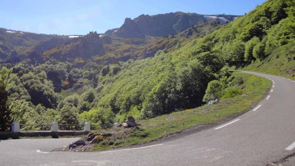
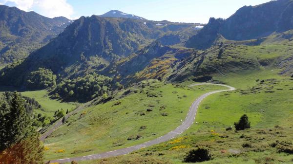
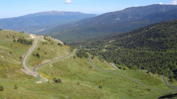
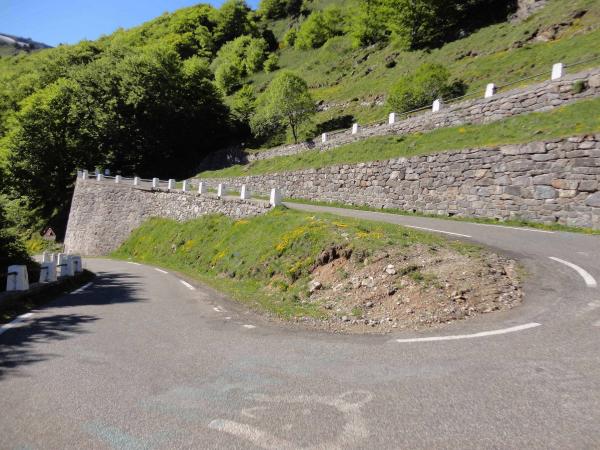
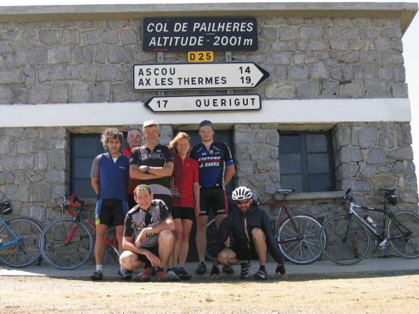
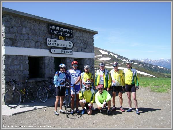
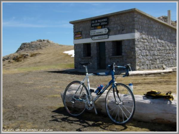
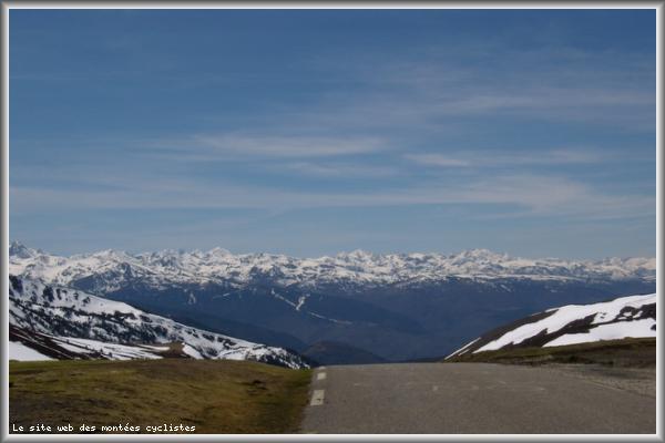
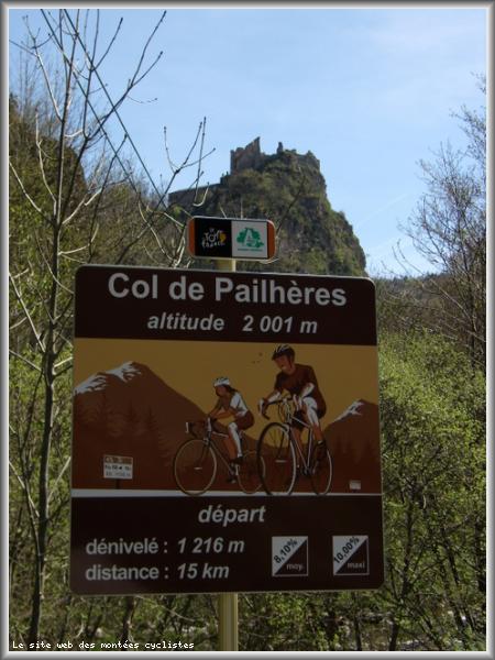
| Name : | Port de Pailhères |
| Altitude : | 2001 m |
| Opening : |  Ouvert Ouvert |
| Start : | Usson Les Bains |
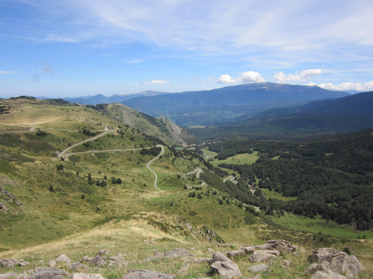
| Length : | 14.90 km |
| Elevation gain : | 1207 m |
| % Avg : | 8.1% |
| % Max : | 12.0% |
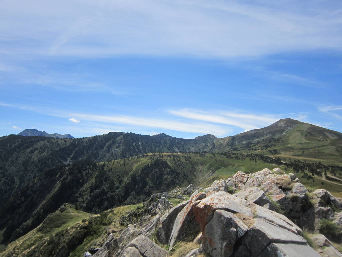
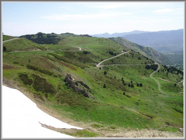
| Mountain range : | Eastern pyrenees, France |
There's other climb of this summit
Map
Profile

 Ascents reserved for cyclists