Information
There's other climb of this summit
Map
Profile
Login or Create your account
51:04:00 • Galvañ diez A • Comment posted on 31/03/2018
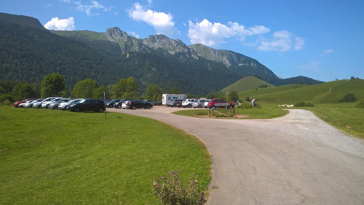
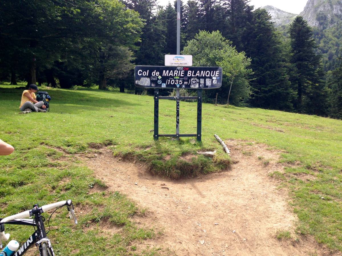
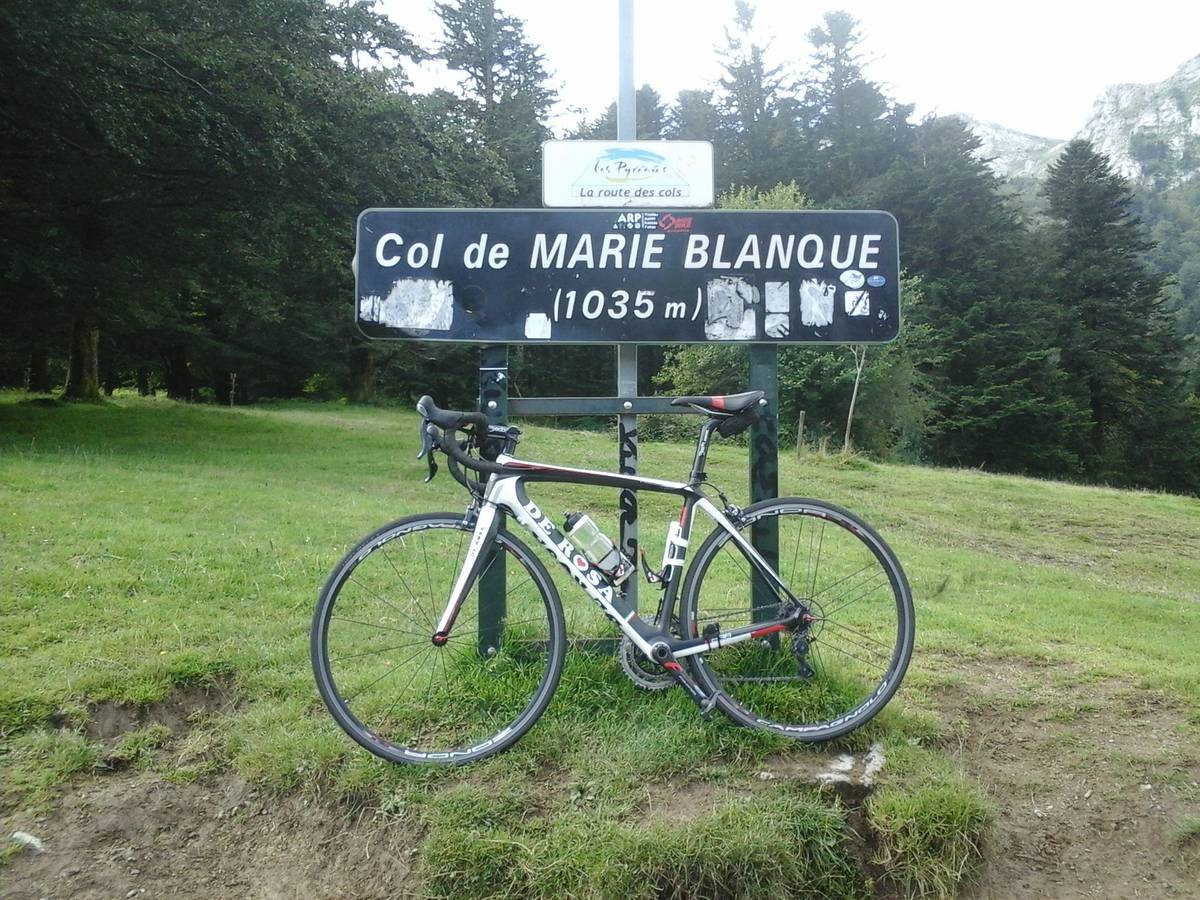
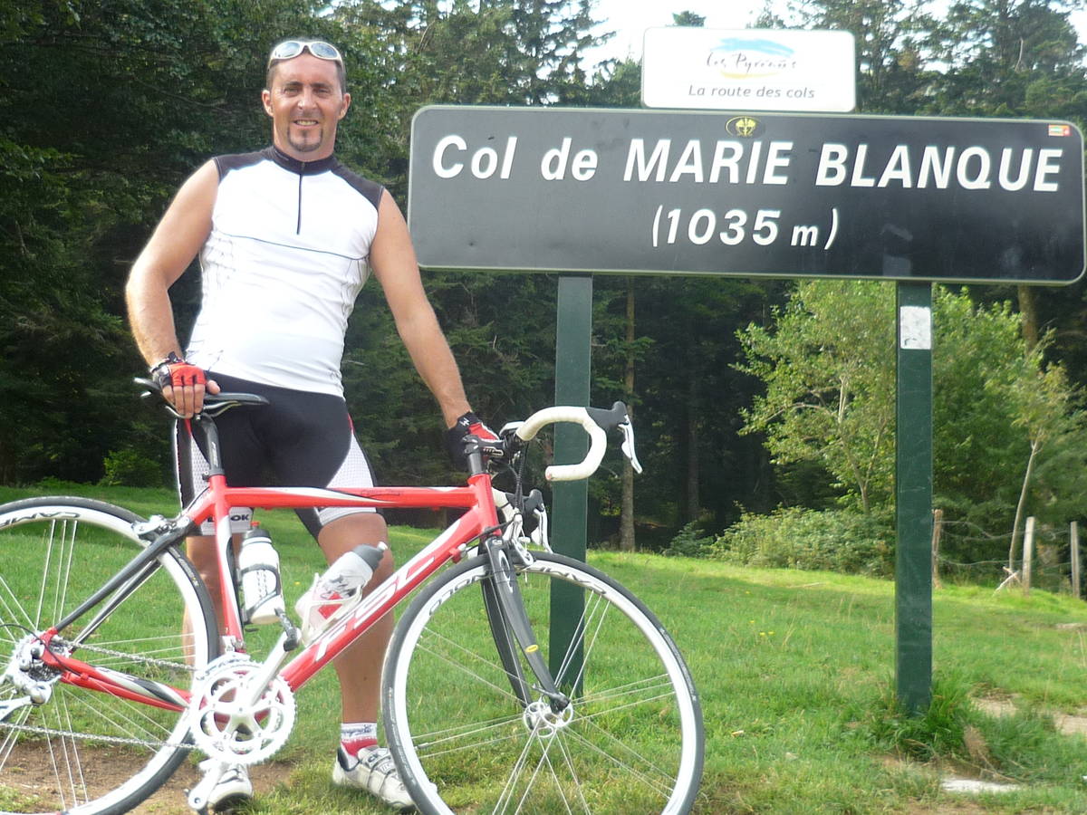
Desde Bielle
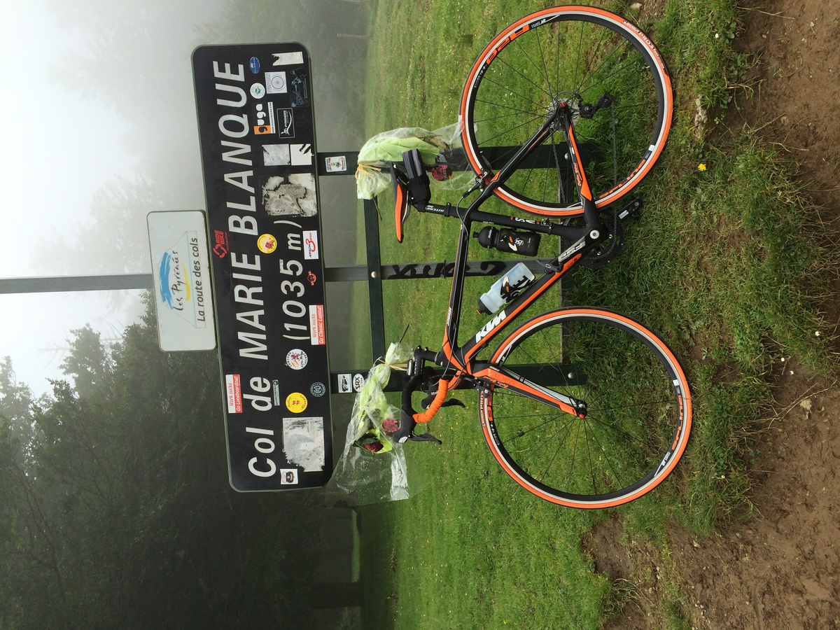
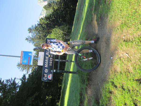
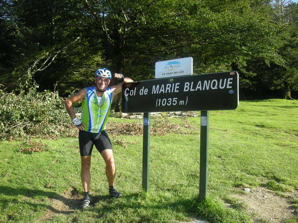
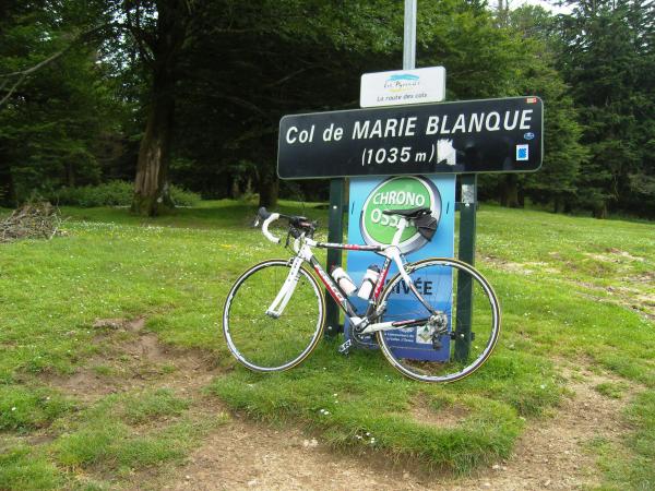
Choose a picture :
Message :
Climbing time :

 Ascents reserved for cyclists