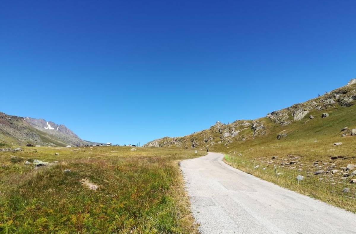
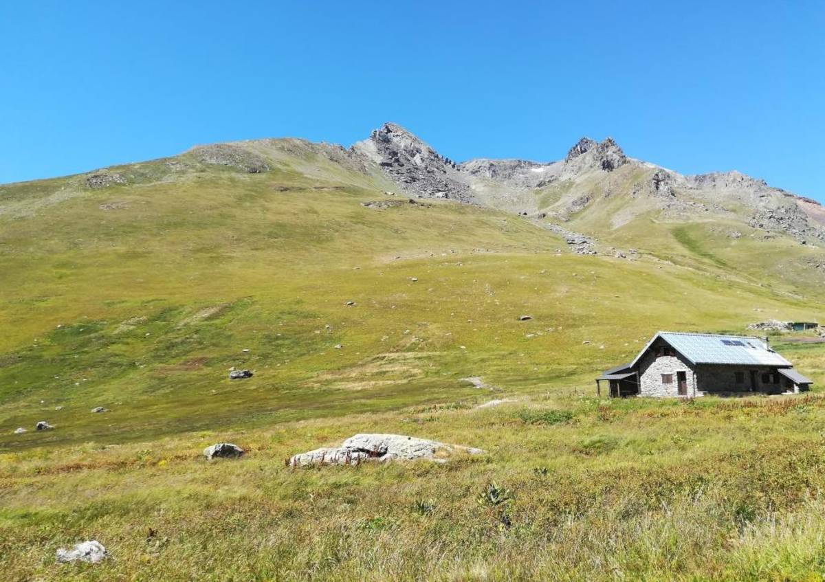
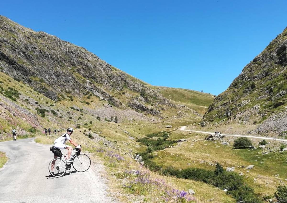
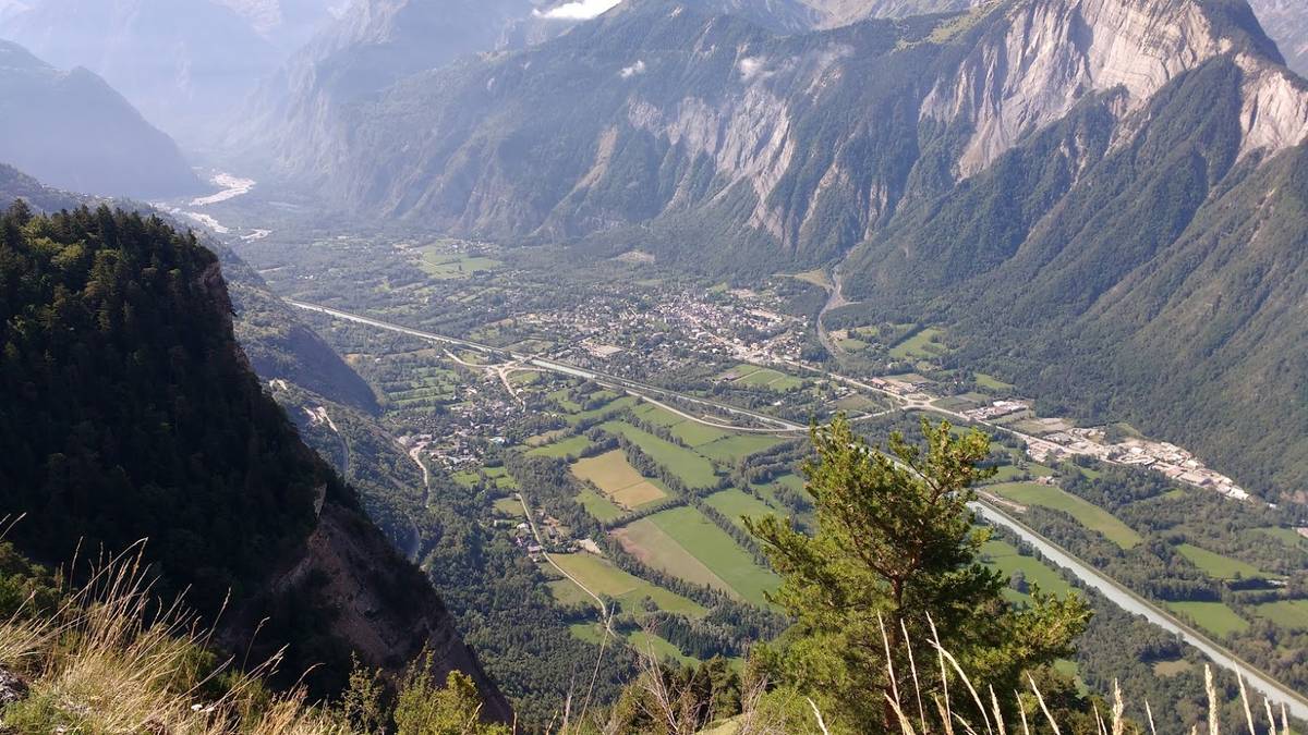
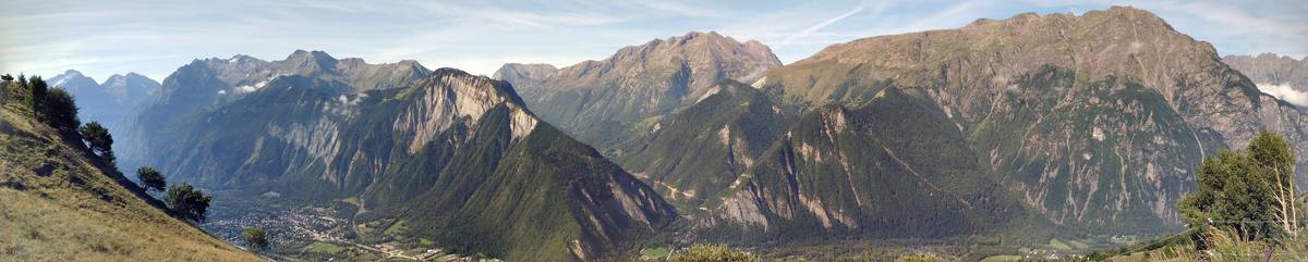
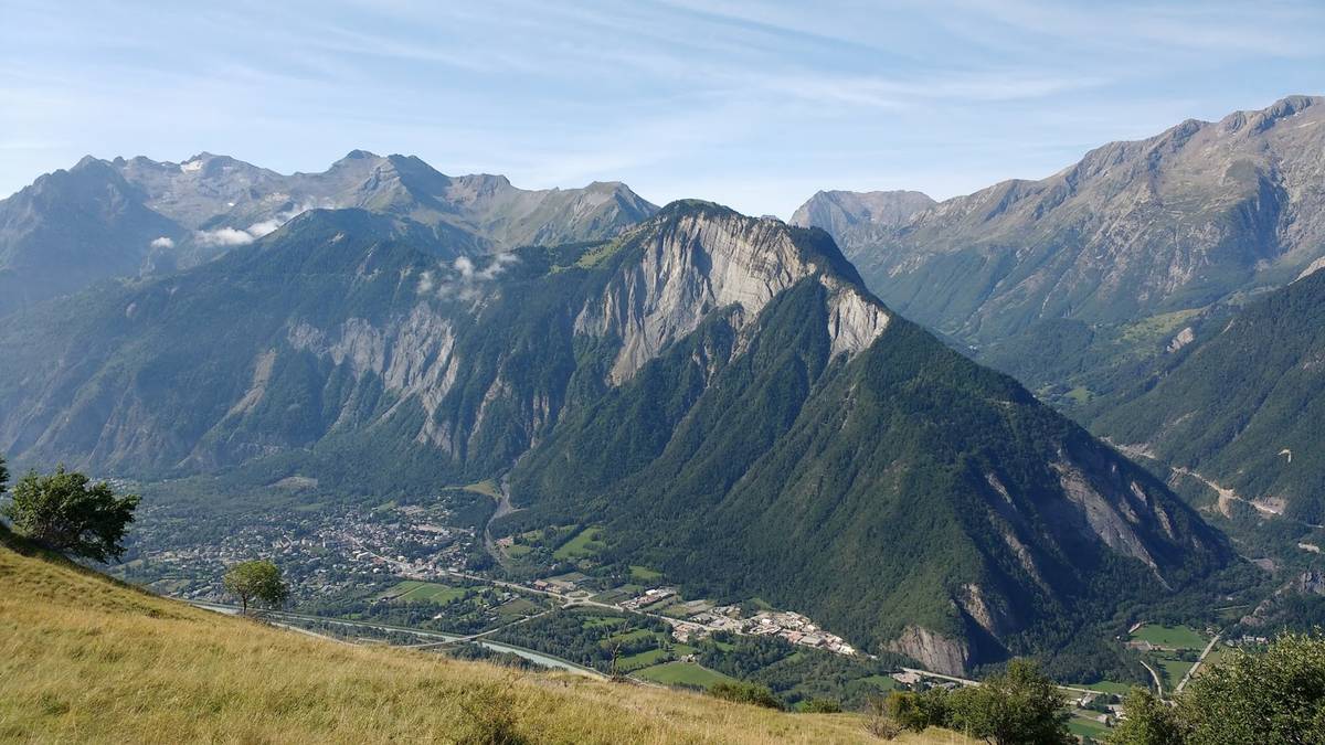
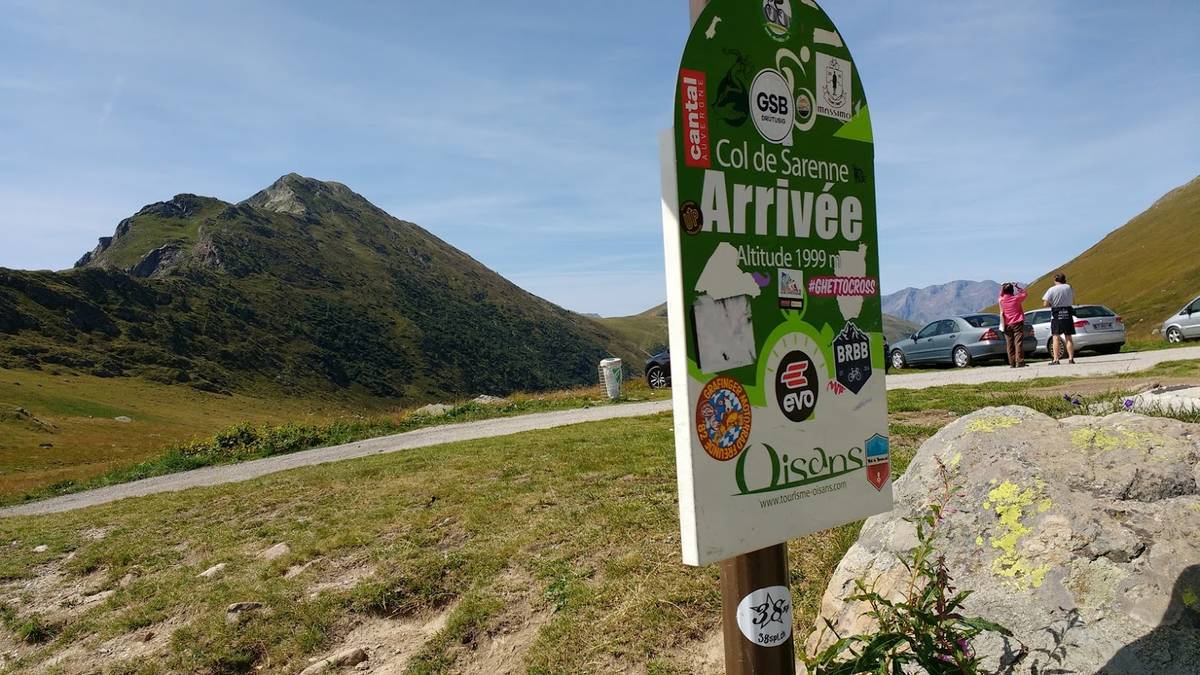
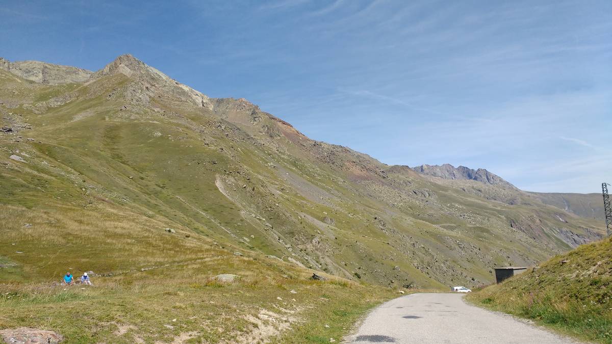
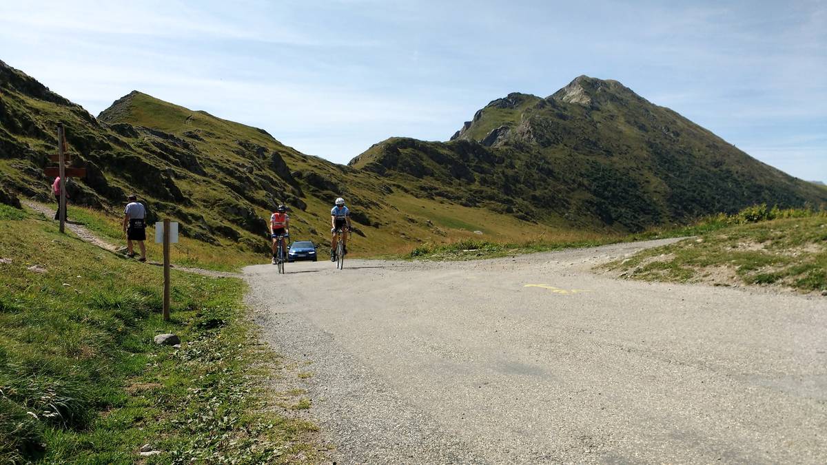
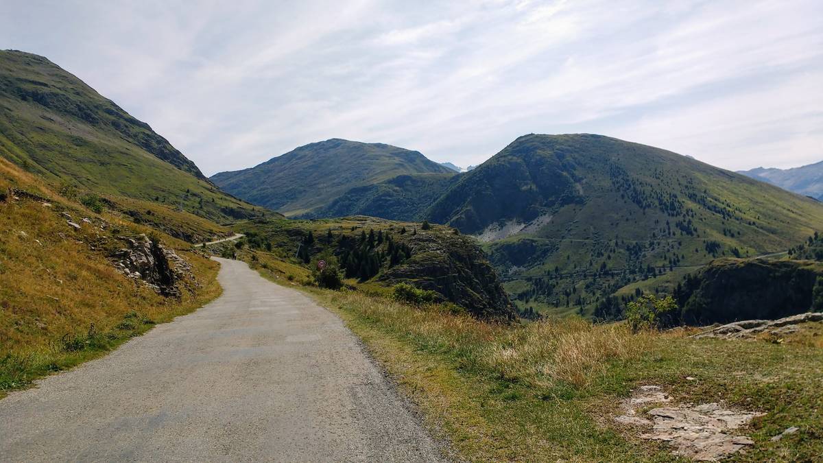
Information
| Name : | Col de Sarenne |
| Altitude : | 1999 m |
| Start : | Allemont |
| Length : | 26.00 km |
| Elevation gain : | 1420 m |
| % Avg : | 5.46% |
| % Max : | 15.0% |
| Mountain range : | Arves and Grandes Rousses, France |
There's other climb of this summit
Map
Profile

 This climb is reserved for cyclists on 05/08/2025 : This climb is reserved for cyclists on 06/08/2024 : This climb is reserved for cyclists on 30/08/2022 :