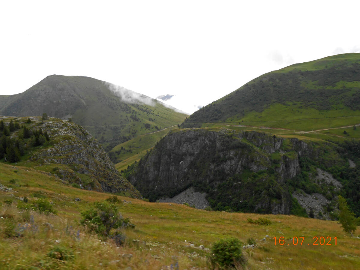
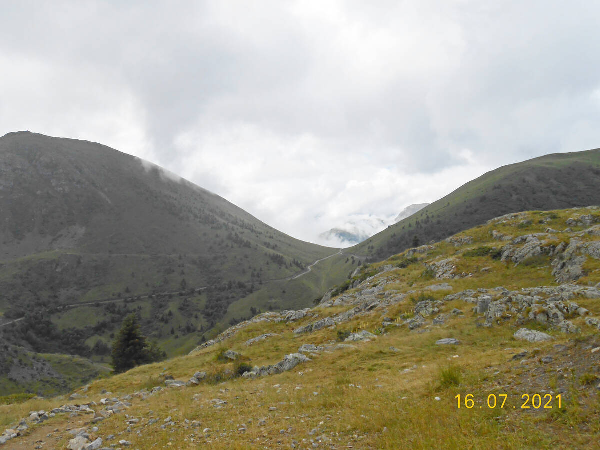
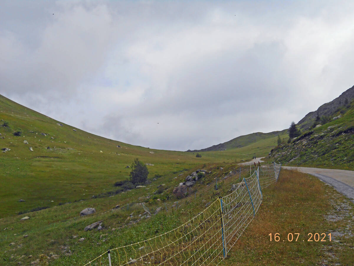
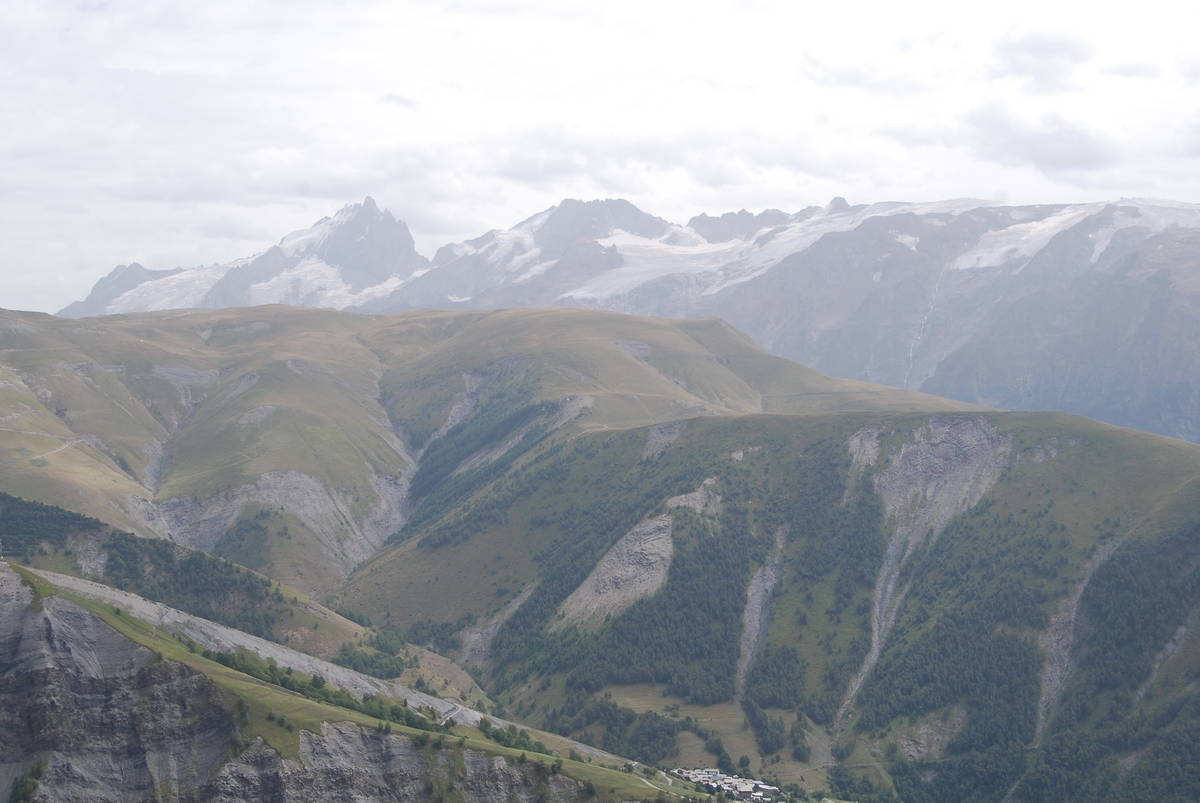
Information
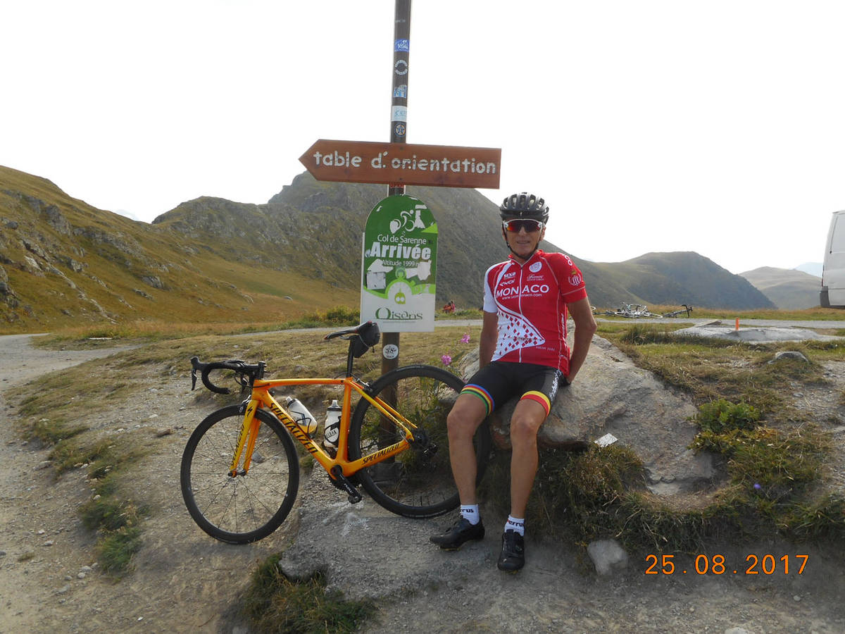
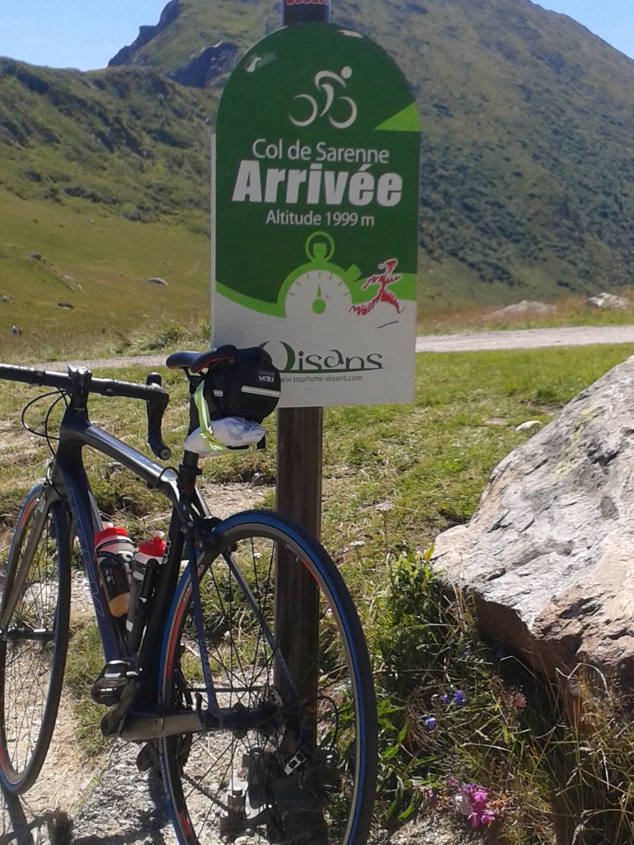
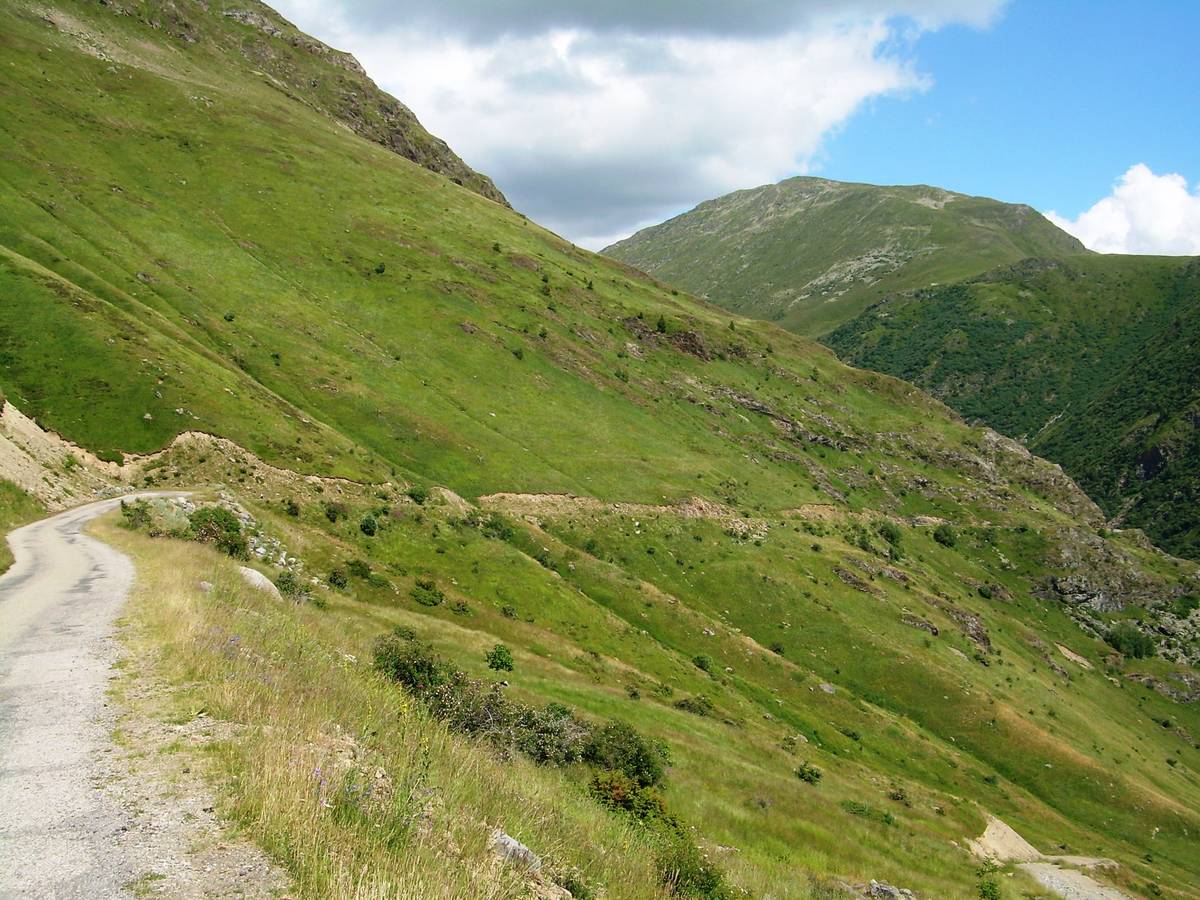
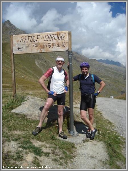
| Name : | Col de Sarenne |
| Altitude : | 1999 m |
| Start : | Bourg d'Oisans |
| Length : | 21.20 km |
| Elevation gain : | 1282 m |
| % Avg : | 6.05% |
| % Max : | 10.5% |
| Mountain range : | Arves and Grandes Rousses, France |
There's other climb of this summit
Map
Profile

 This climb is reserved for cyclists on 05/08/2025 : This climb is reserved for cyclists on 06/08/2024 : This climb is reserved for cyclists on 25/08/2020 : This climb is reserved for cyclists on 13/08/2019 : This climb is reserved for cyclists on 09/07/2019 :