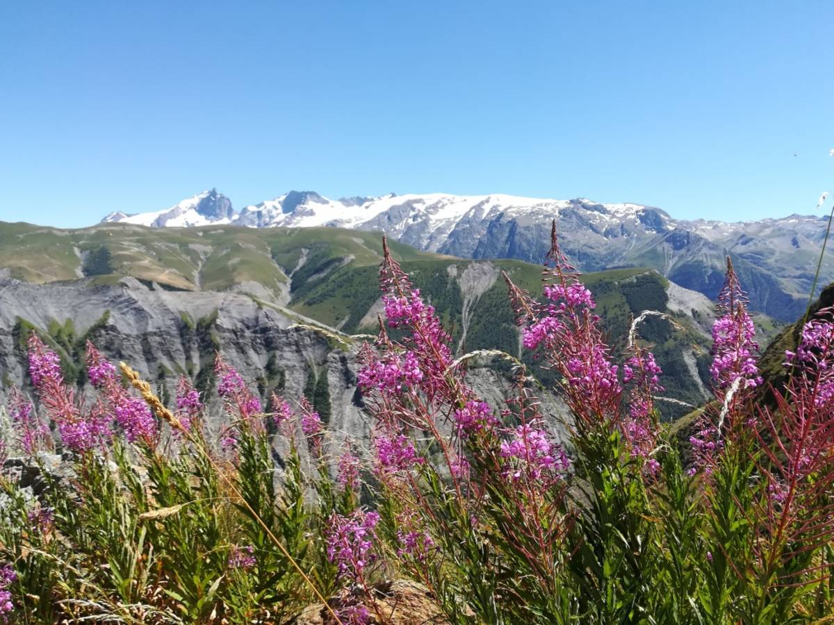
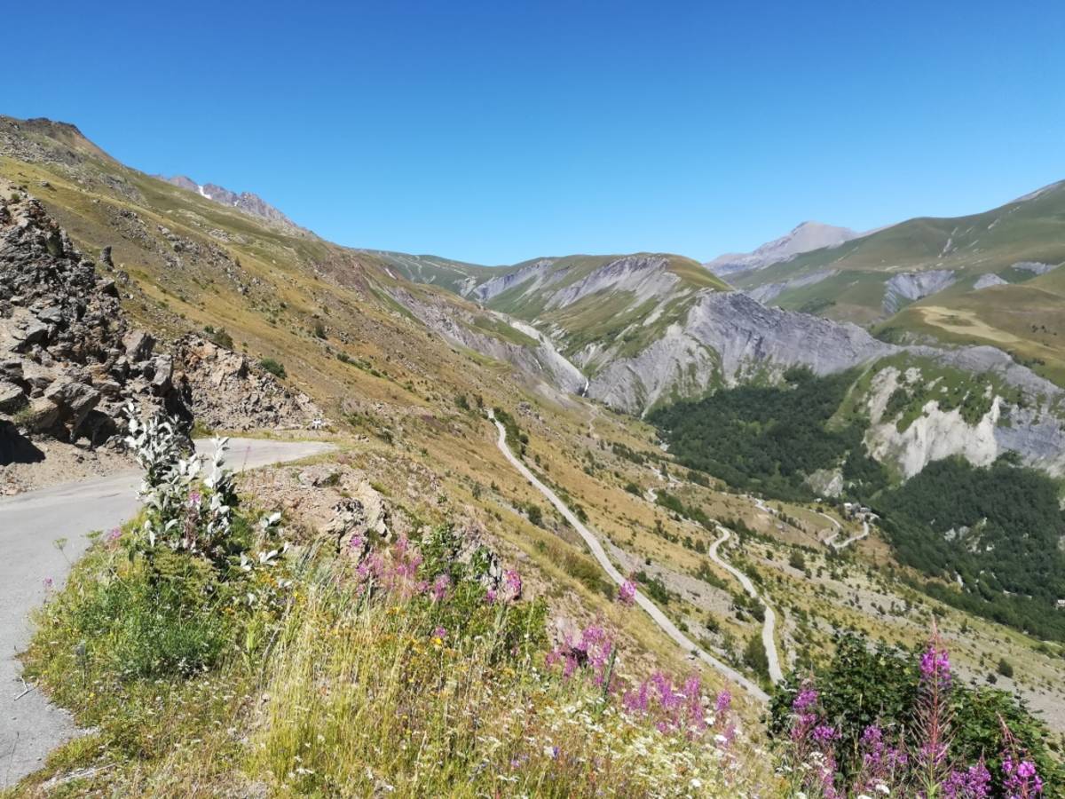
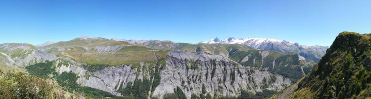
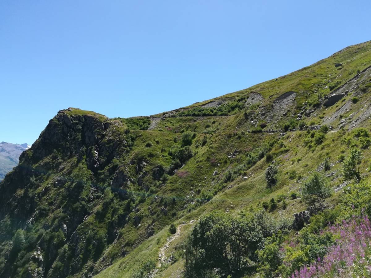
Information
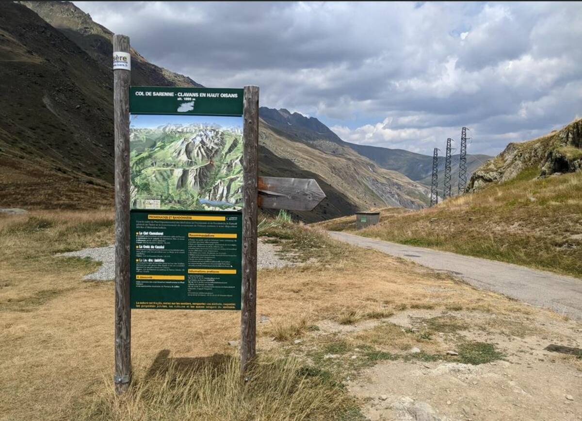
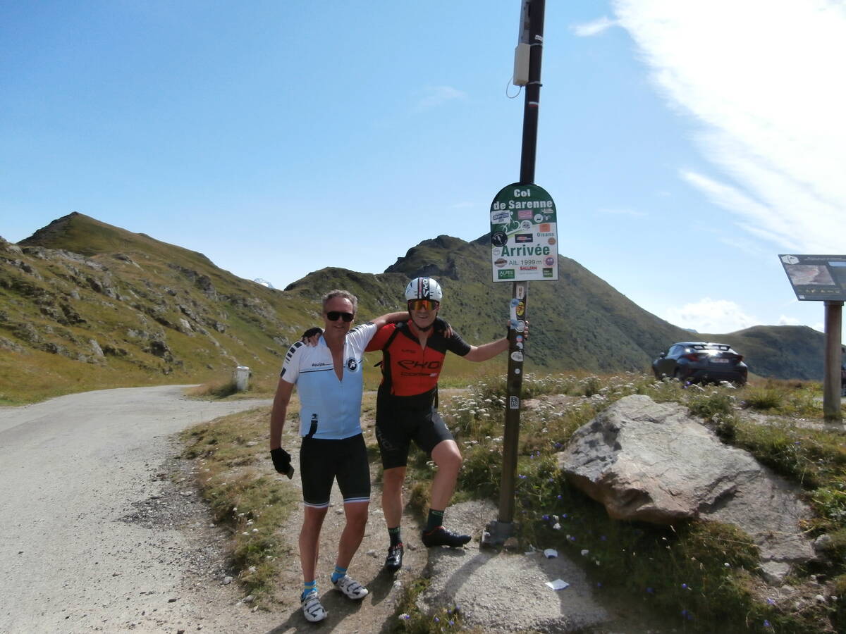
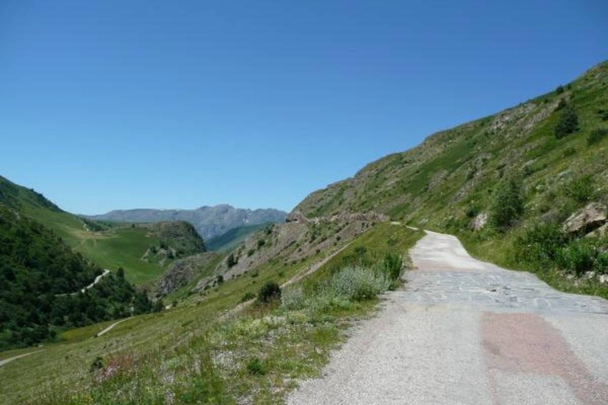
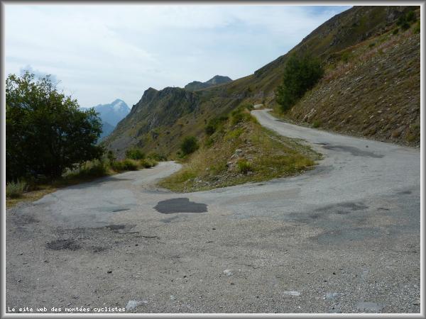
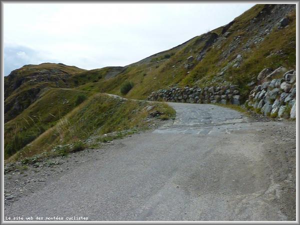
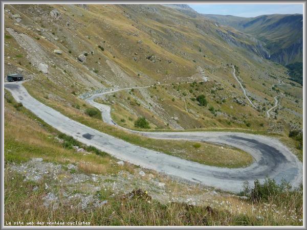
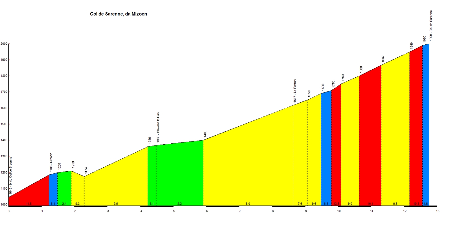
| Name : | Col de Sarenne |
| Altitude : | 1999 m |
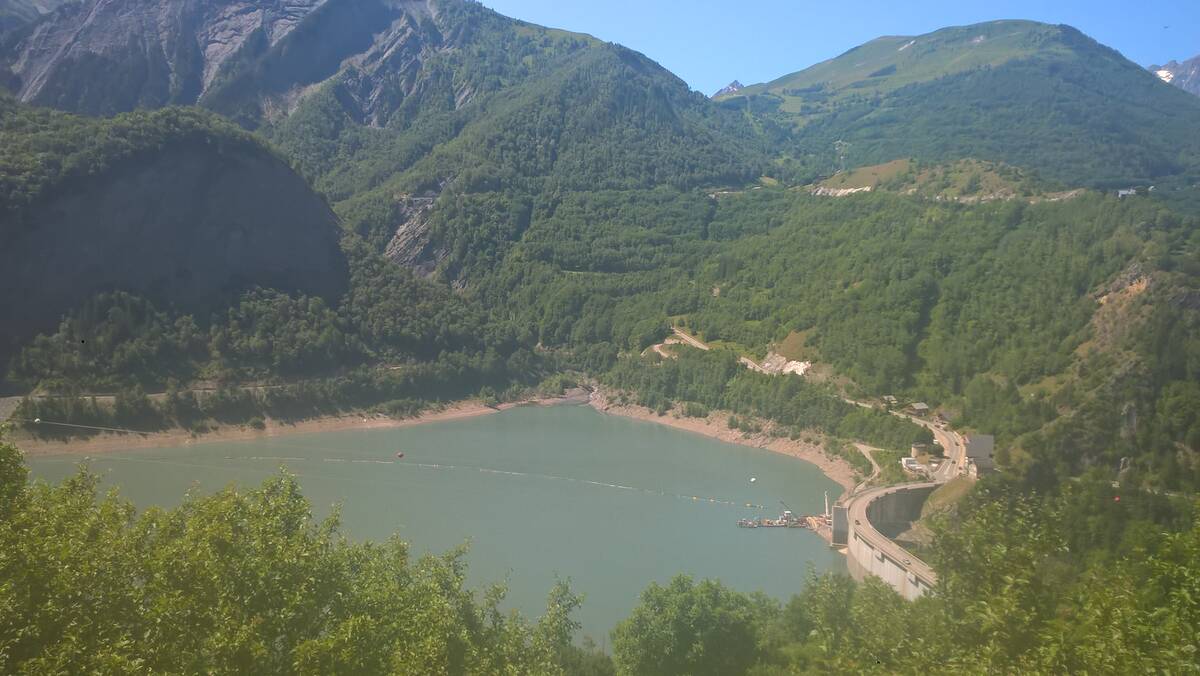
| Start : | Le Chambon |
| Length : | 12.80 km |
| Elevation gain : | 954 m |
| % Avg : | 7.45% |
| % Max : | 13.5% |
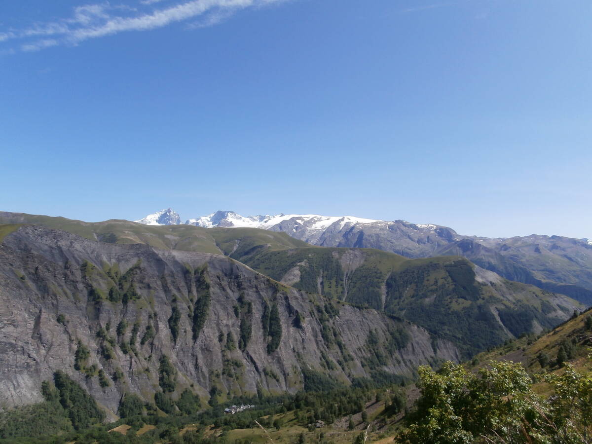
| Mountain range : | Arves and Grandes Rousses, France |
There's other climb of this summit
Map
Profile
 This climb is reserved for cyclists on 05/08/2025 : This climb is reserved for cyclists on 06/08/2024 : This climb is reserved for cyclists on 29/08/2023 : This climb is reserved for cyclists on 31/08/2021 : This climb is reserved for cyclists on 25/08/2020 : This climb is reserved for cyclists on 13/08/2019 : This climb is reserved for cyclists on 09/07/2019 :