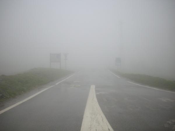
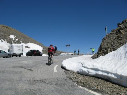
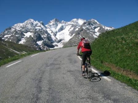
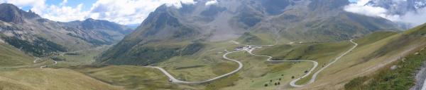
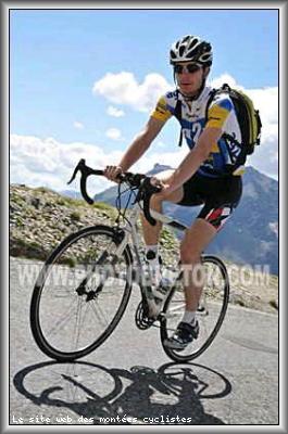
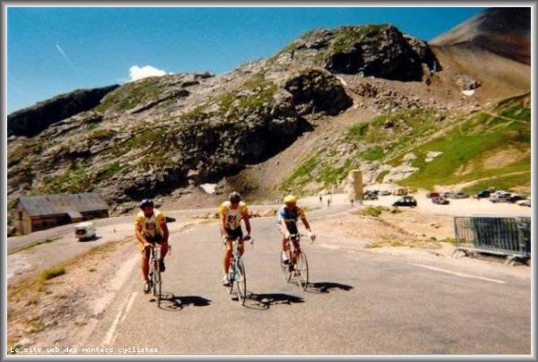
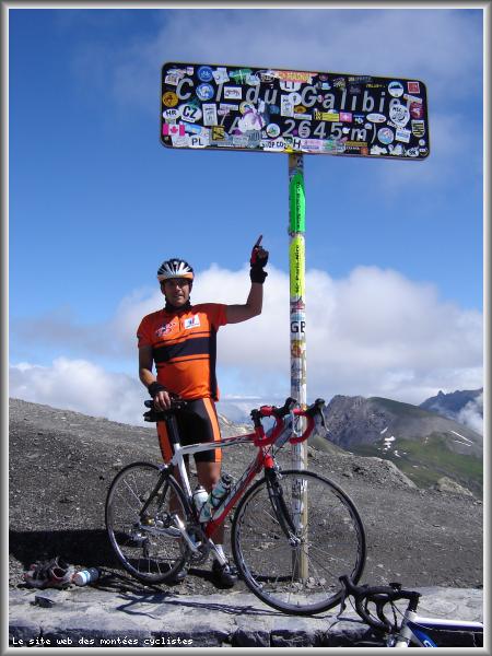
Information
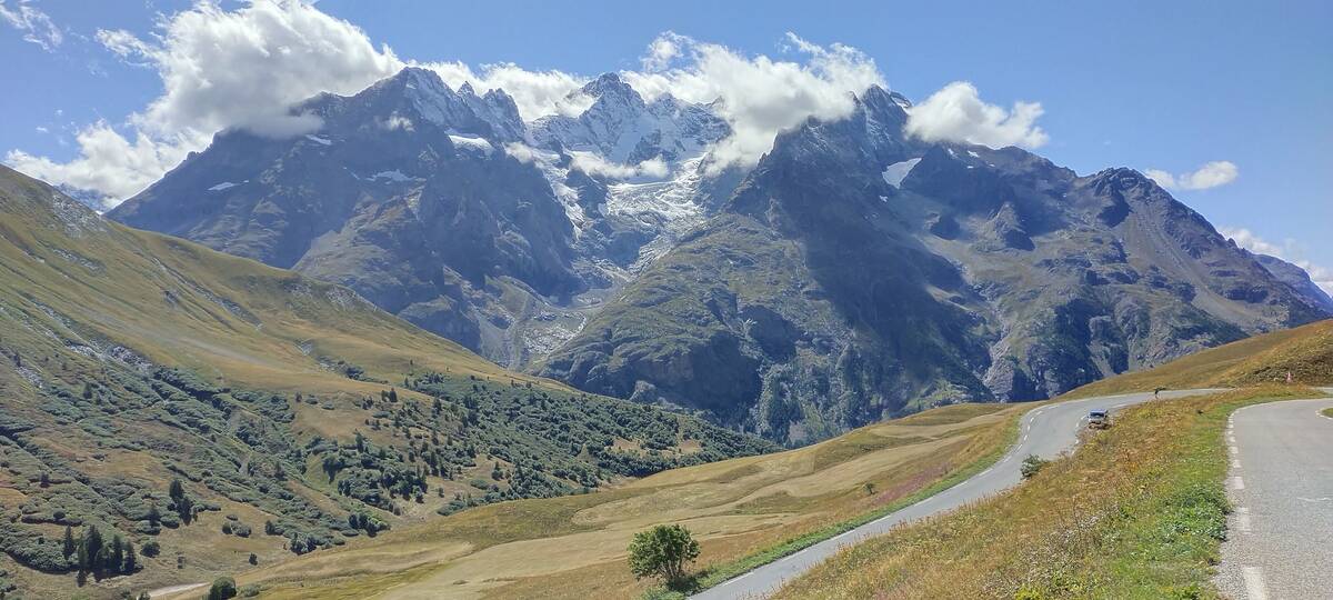
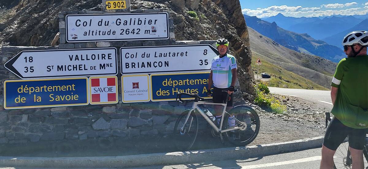
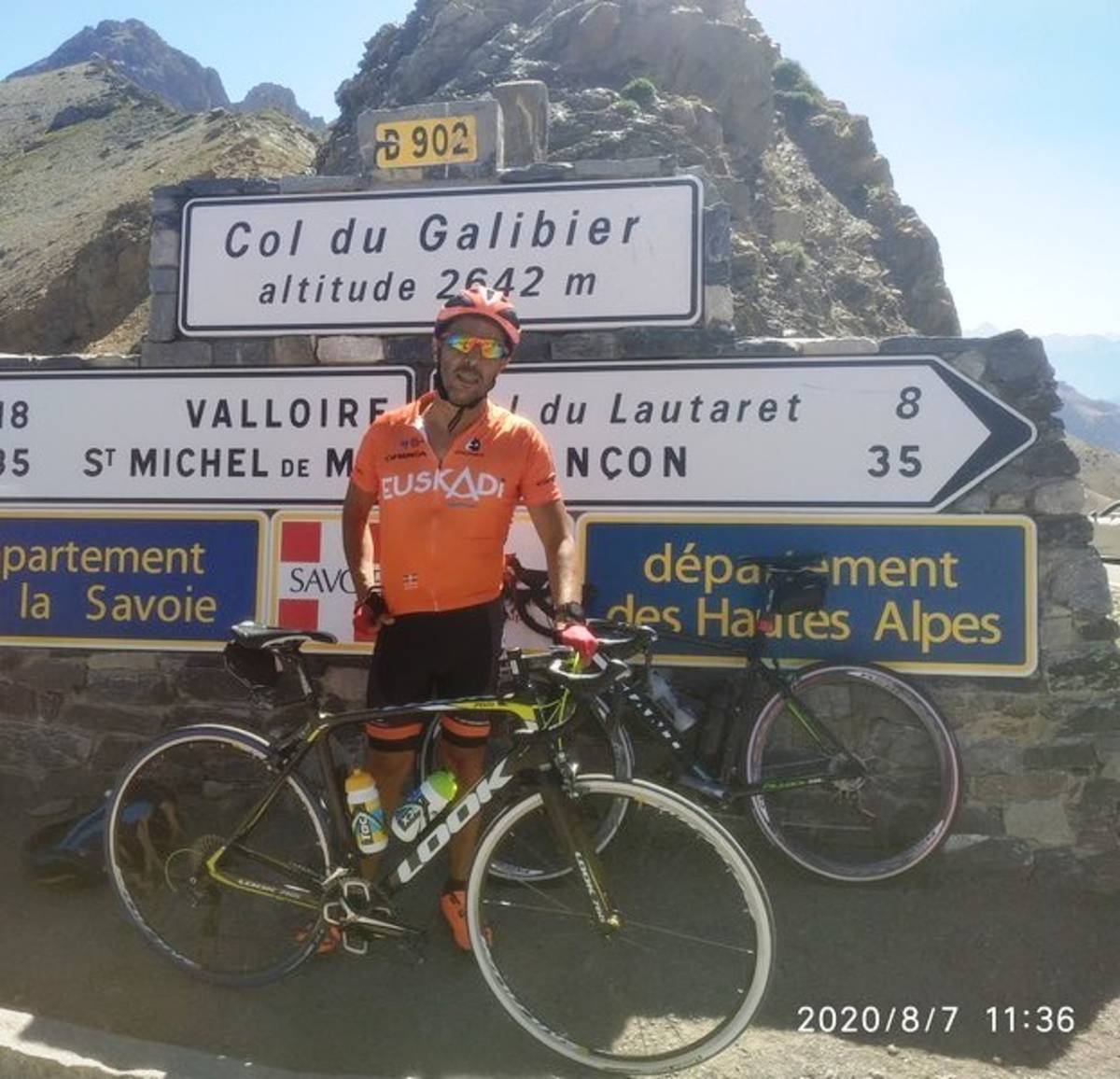
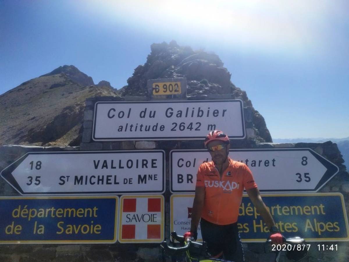
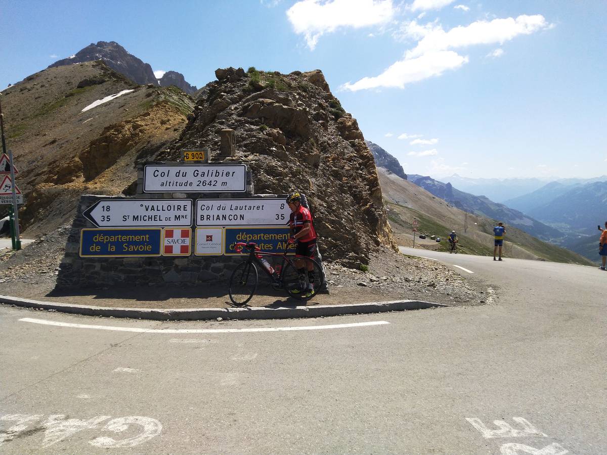
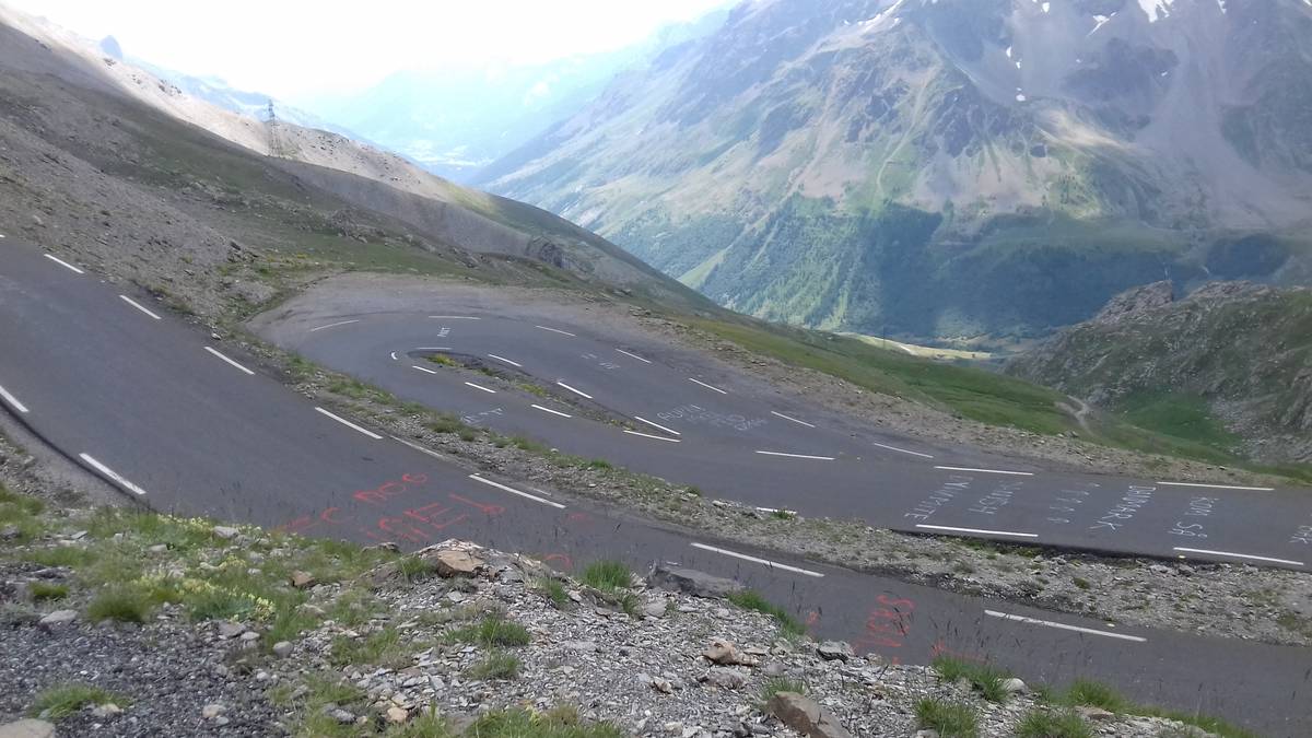
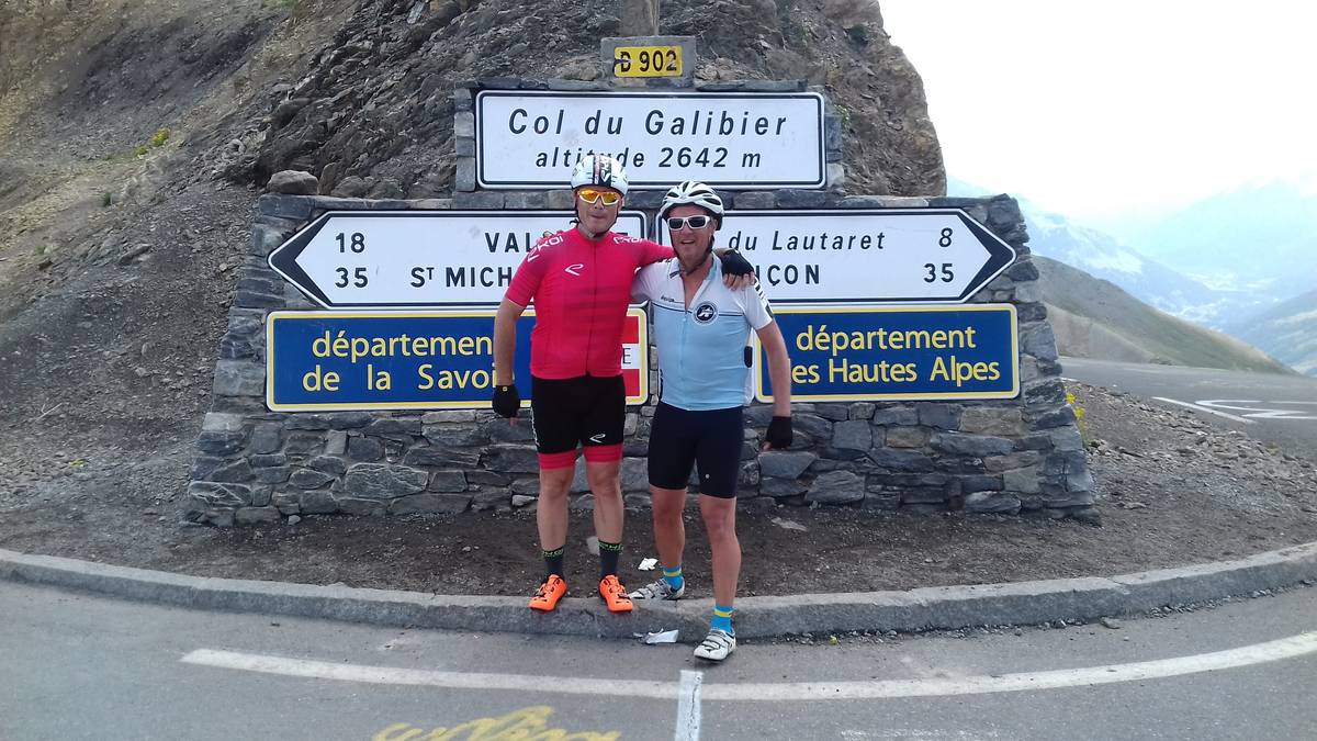
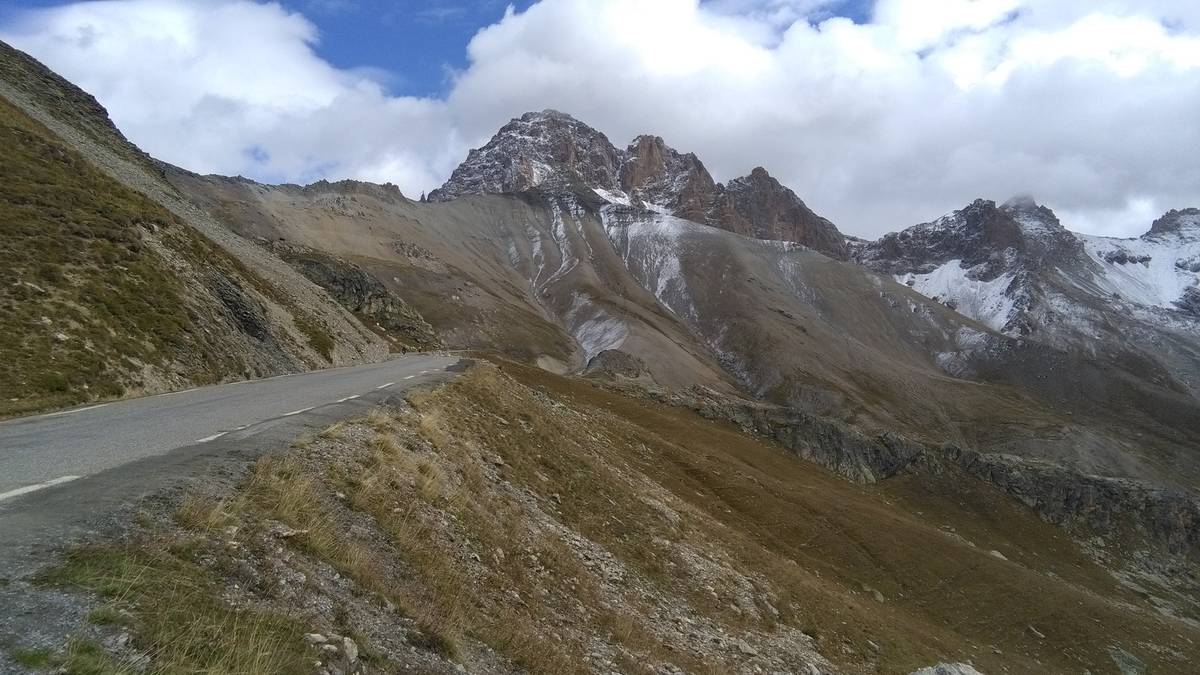
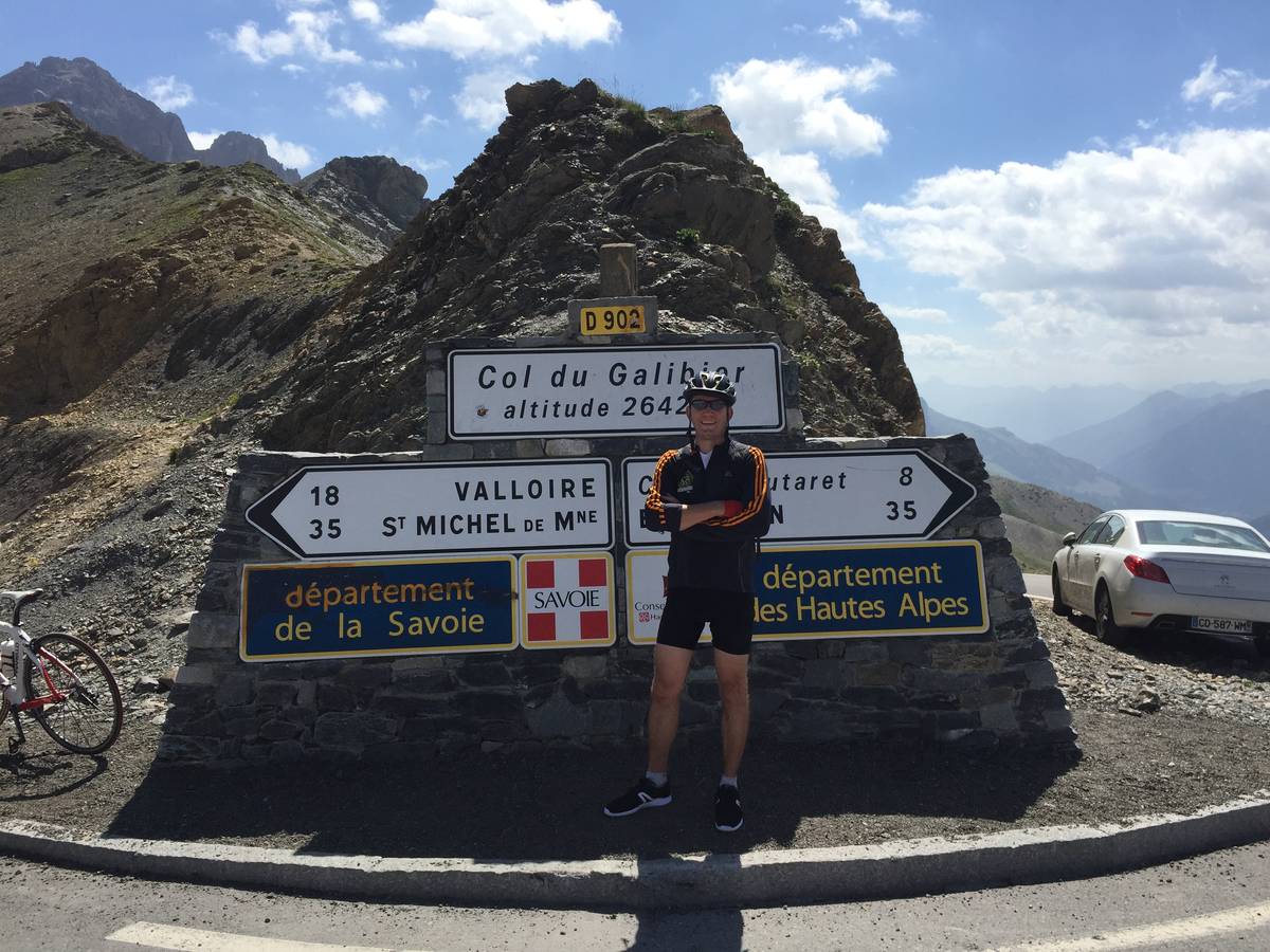
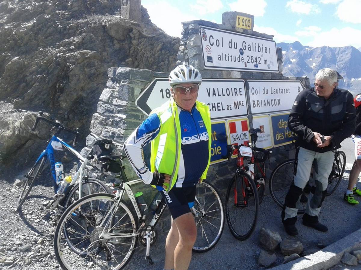
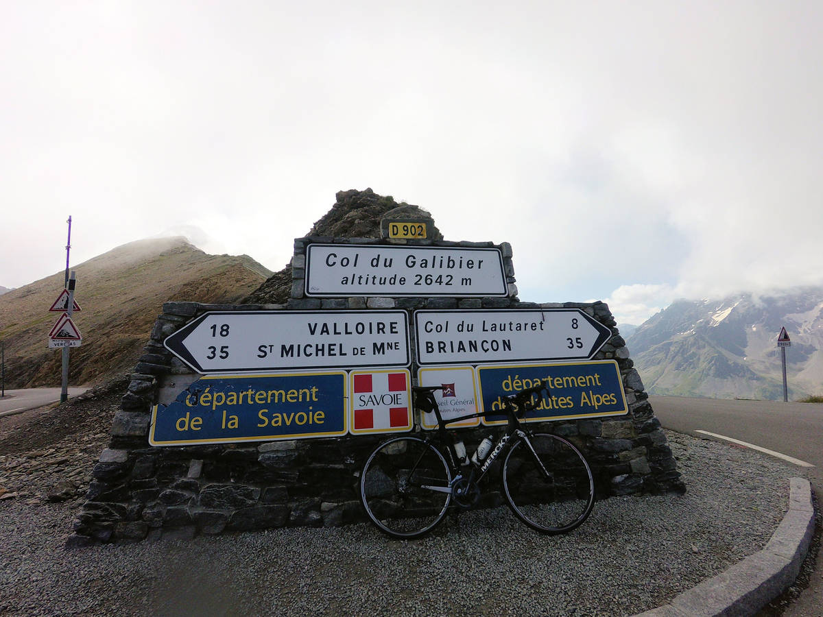
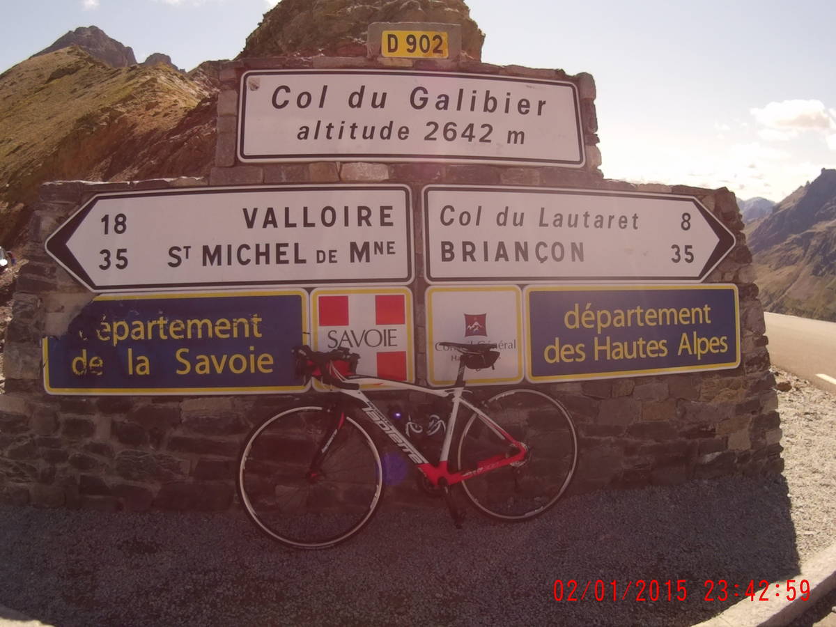
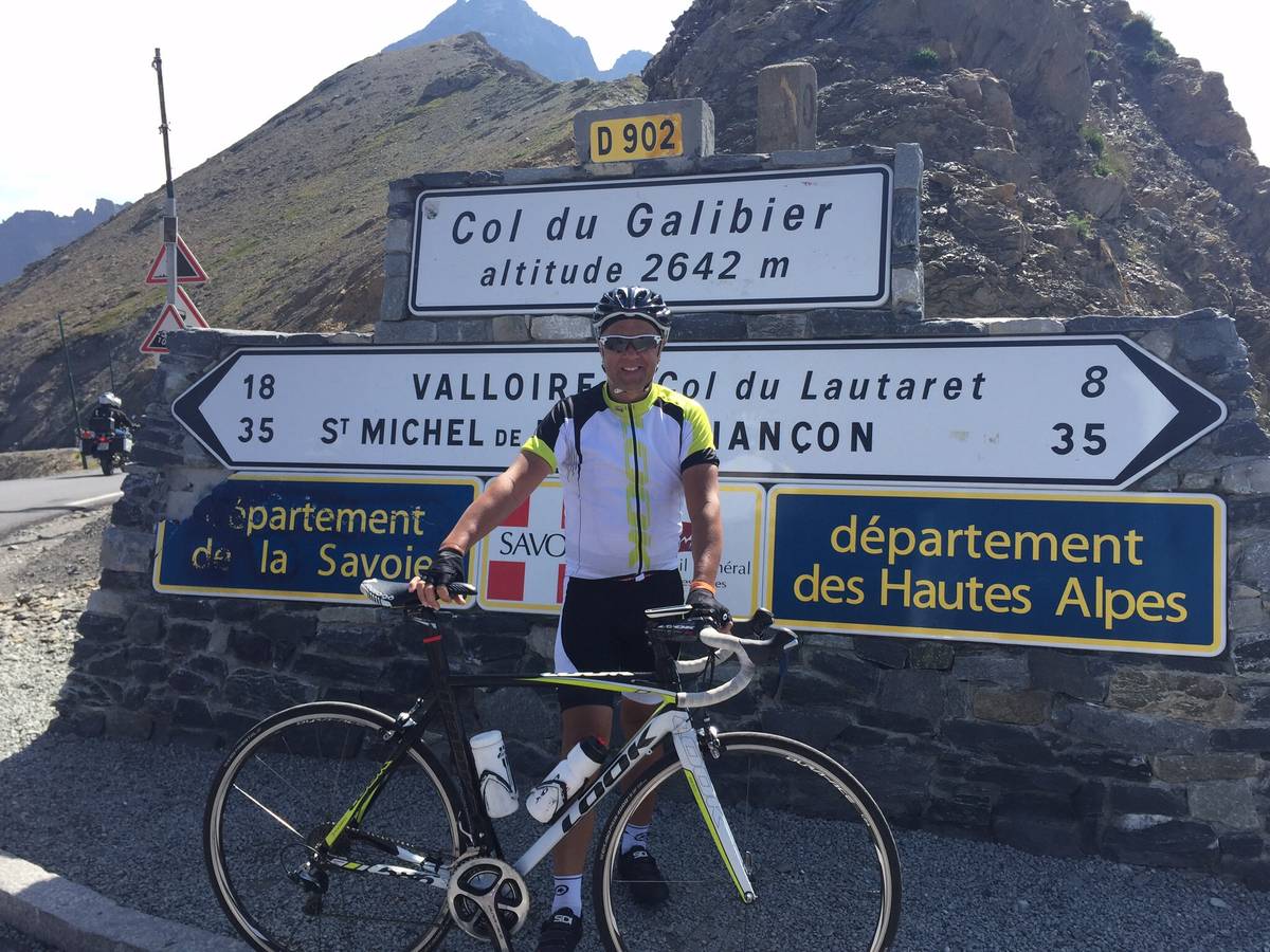
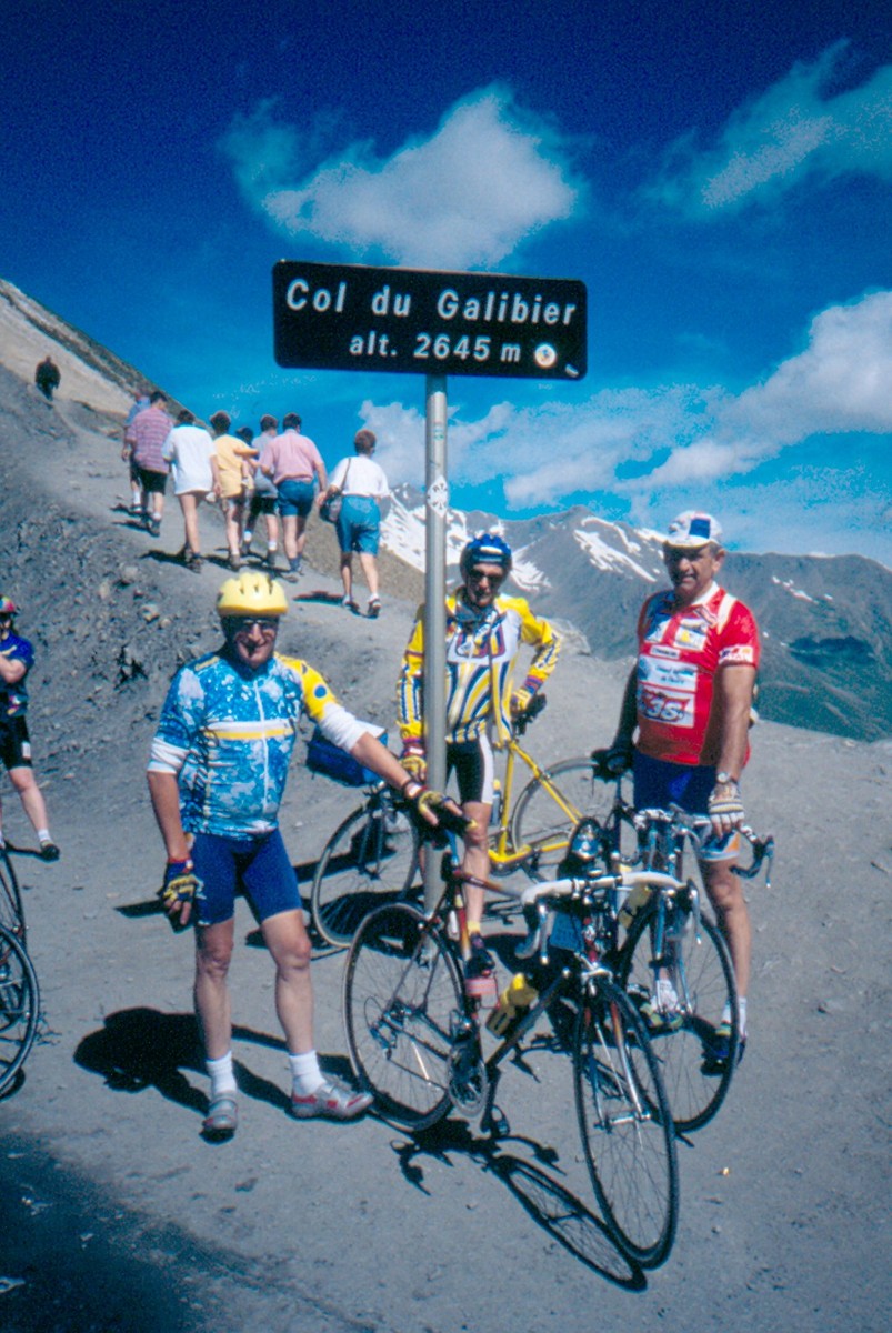
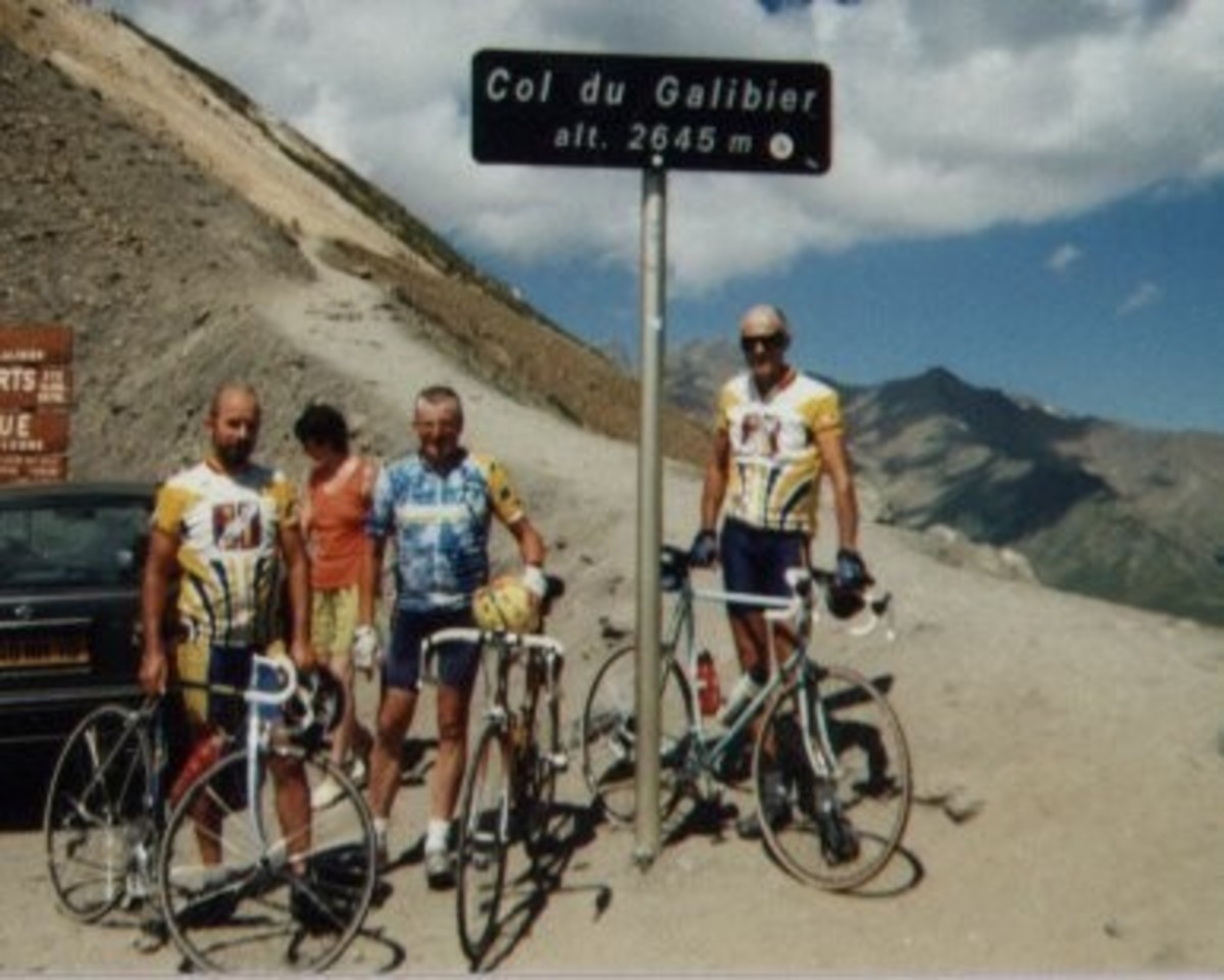
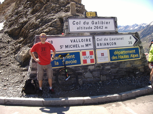
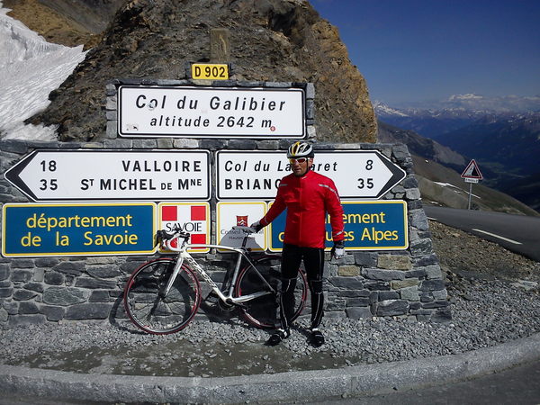
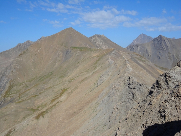
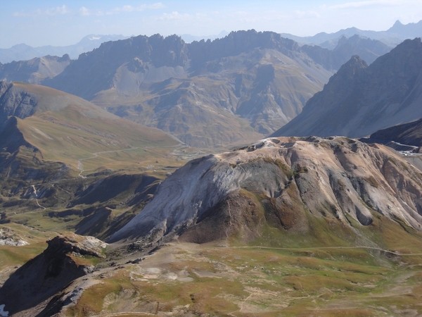
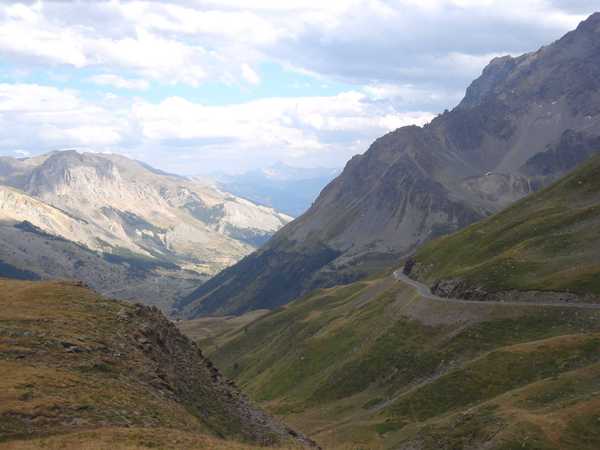
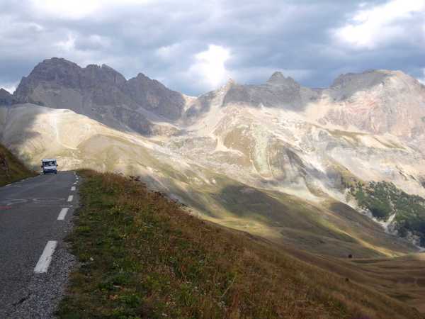
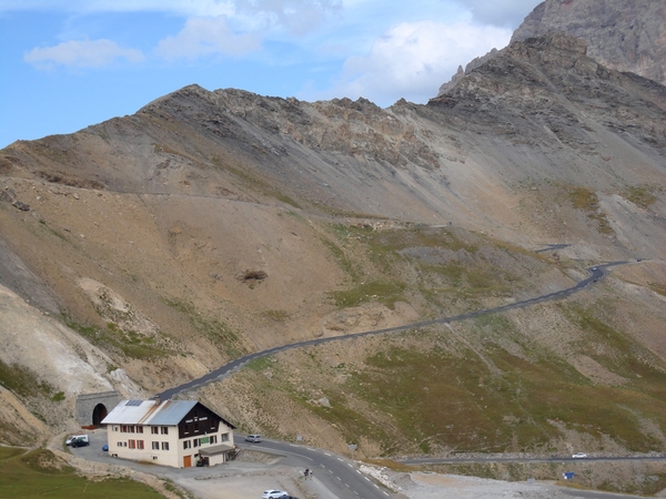
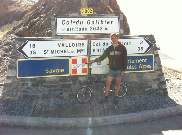
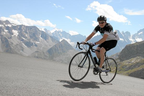
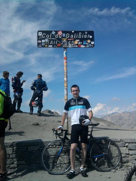
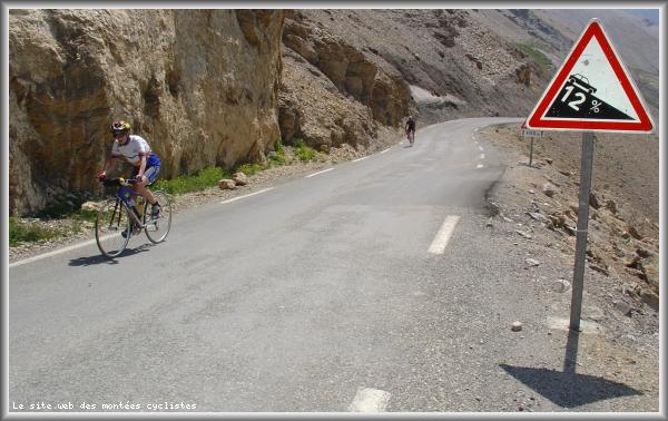
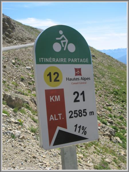
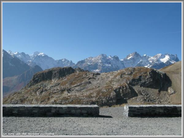
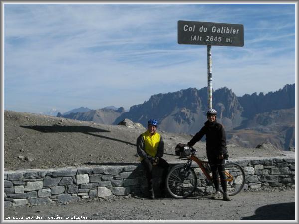
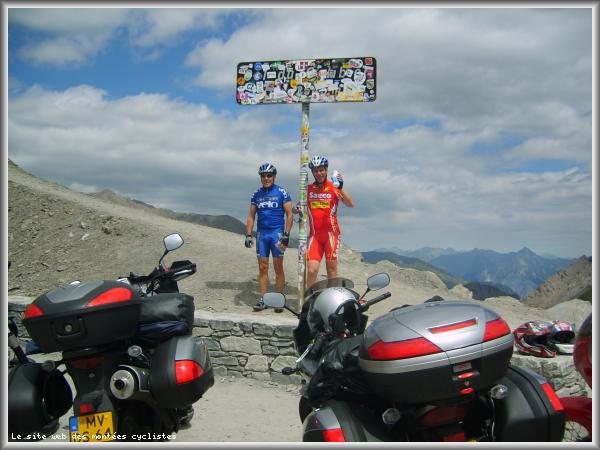
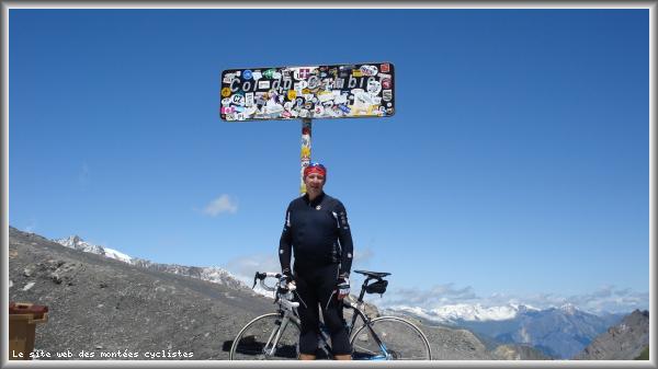
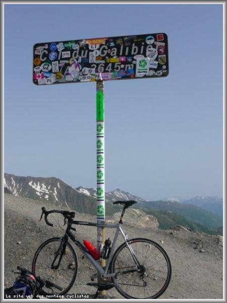
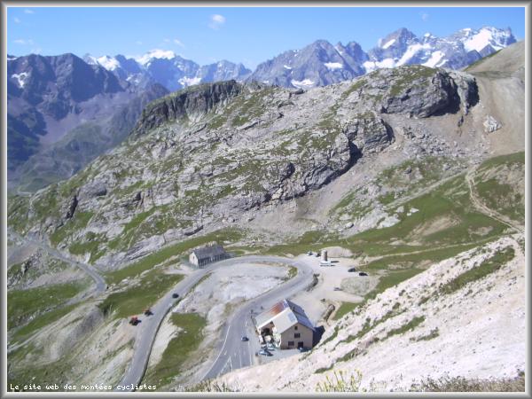
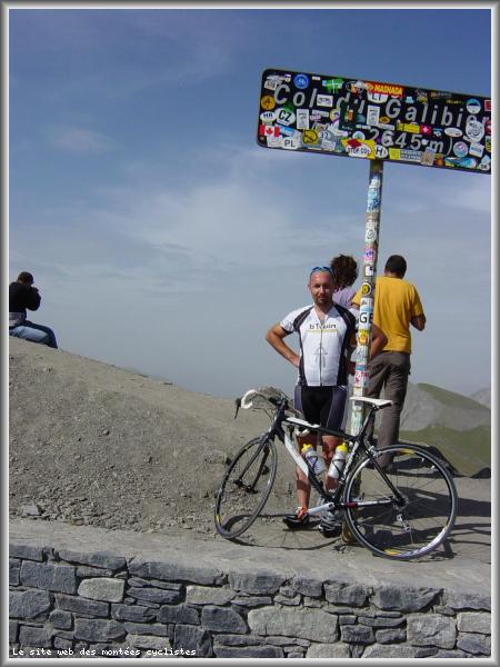
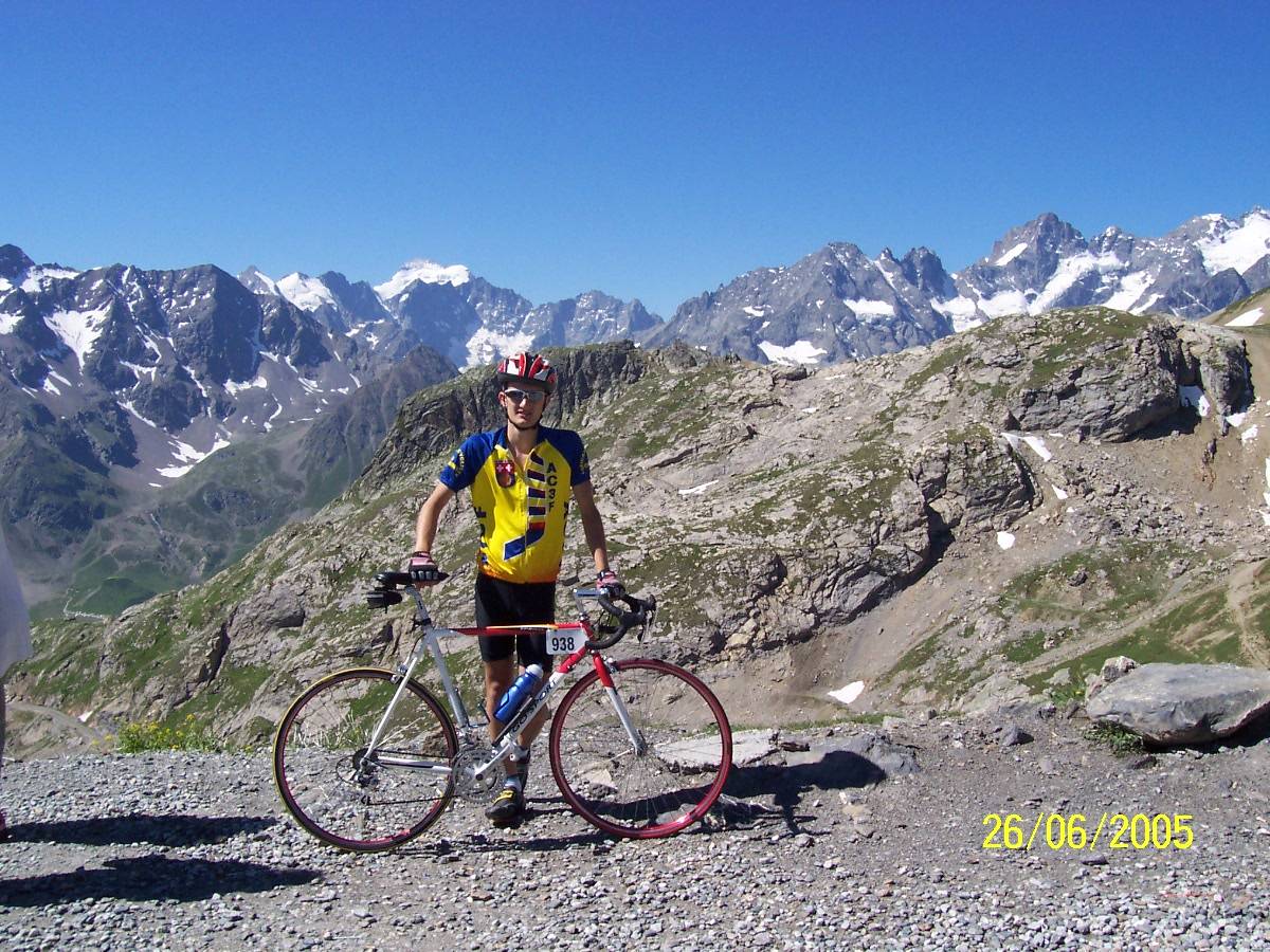
| Name : | Col du Galibier |
| Altitude : | 2642 m |
| Opening : |  Ouvert Ouvert |
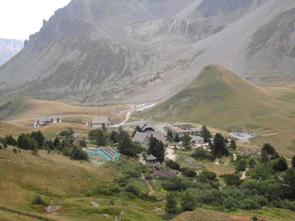
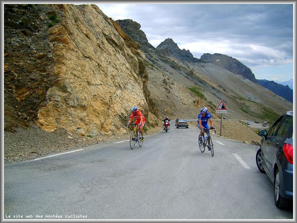
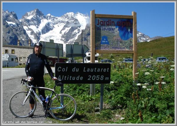
| Start : | Col du Lautaret |
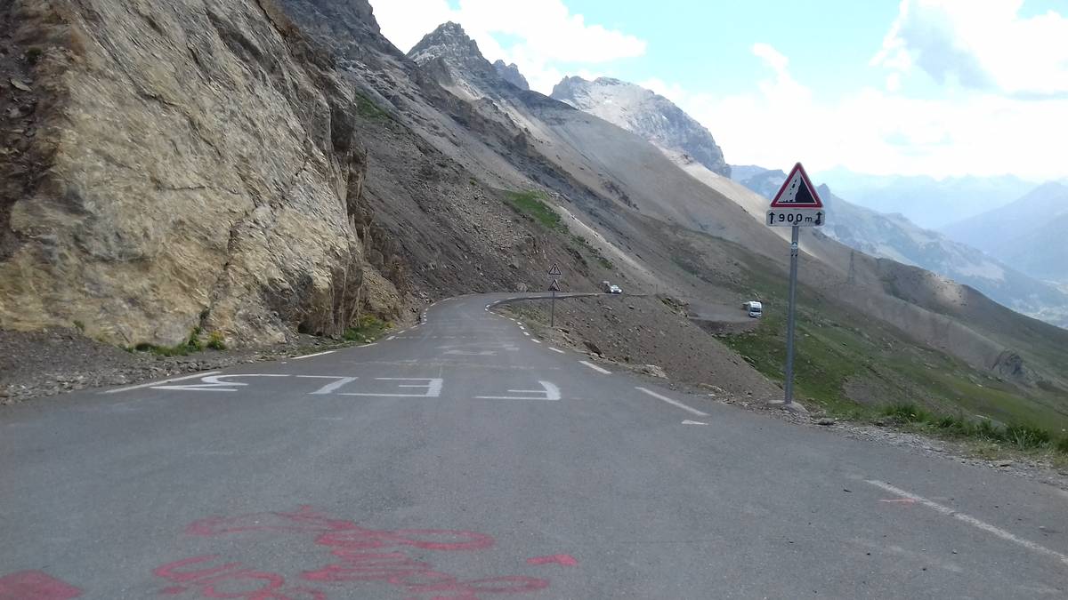
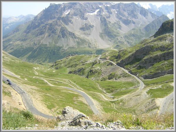
| Length : | 8.50 km |
| Elevation gain : | 585 m |
| % Avg : | 6.88% |
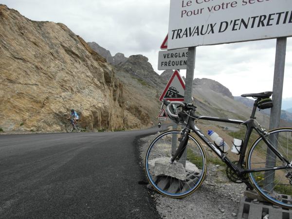
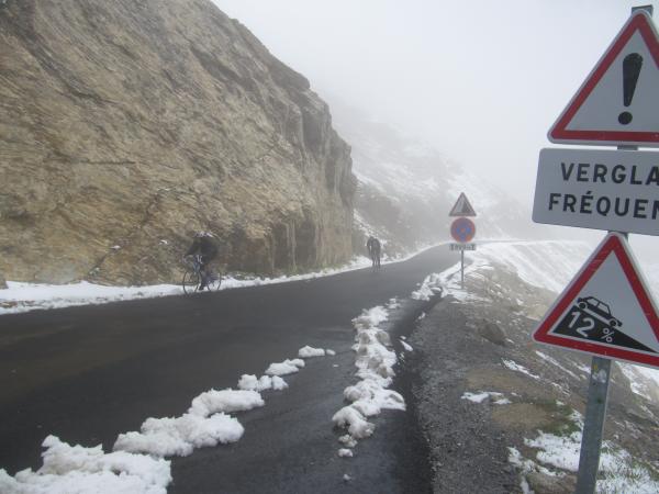
| % Max : | 12.1% |
| Mountain range : | Arves and Grandes Rousses, France |
There's other climb of this summit
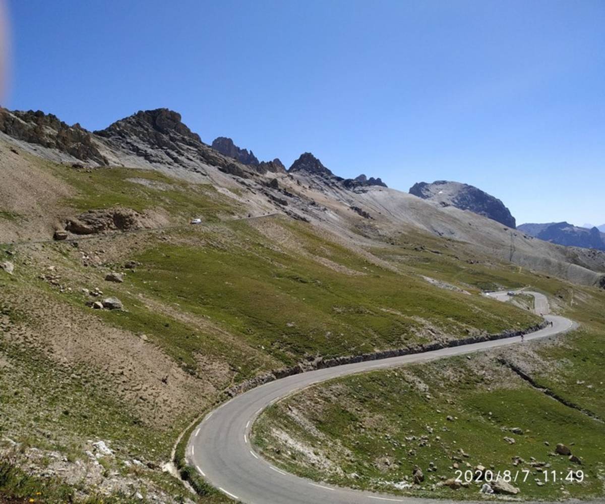
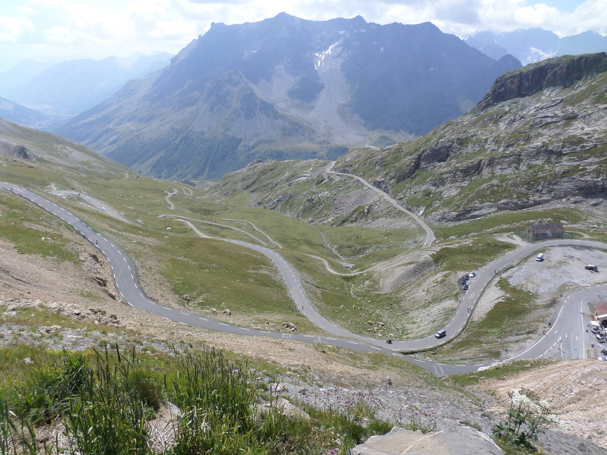
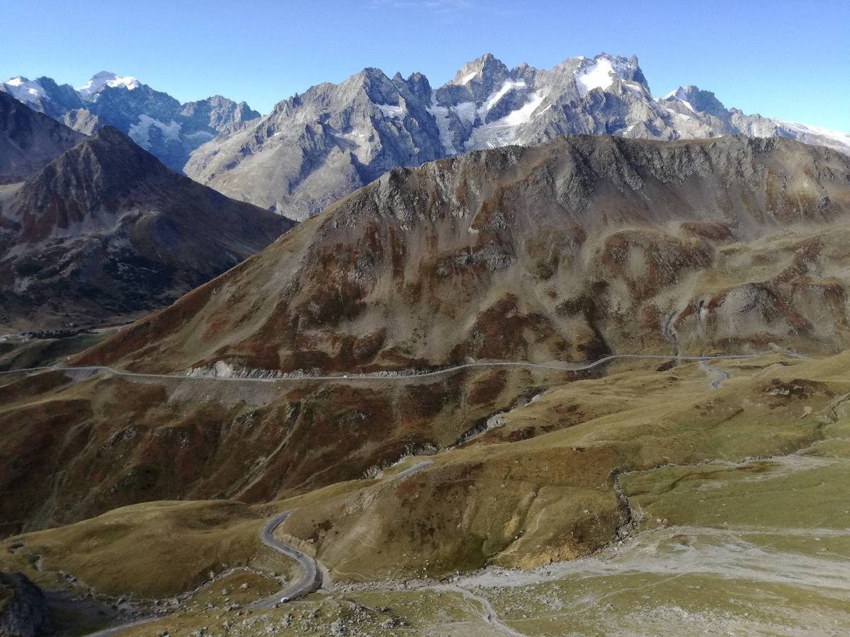
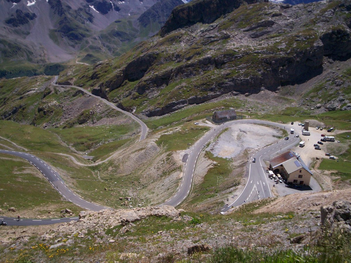
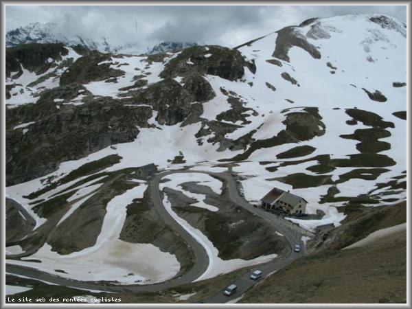
Map
Profile

 This climb is reserved for cyclists on 04/08/2026 : This climb is reserved for cyclists on 16/07/2026 : This climb is reserved for cyclists on 29/06/2026 : This climb is reserved for cyclists on 05/08/2025 : This climb is reserved for cyclists on 17/07/2025 : This climb is reserved for cyclists on 30/06/2025 : This climb is reserved for cyclists on 08/08/2024 : This climb is reserved for cyclists on 18/07/2024 : This climb is reserved for cyclists on 04/07/2024 : This climb is reserved for cyclists on 06/07/2023 : This climb is reserved for cyclists on 29/08/2019 :