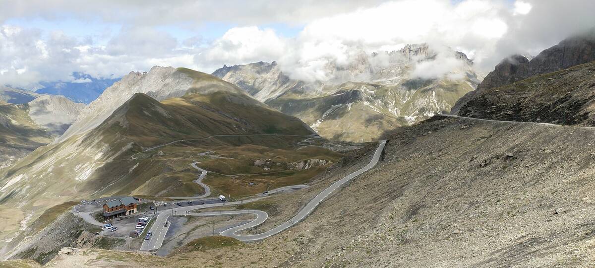
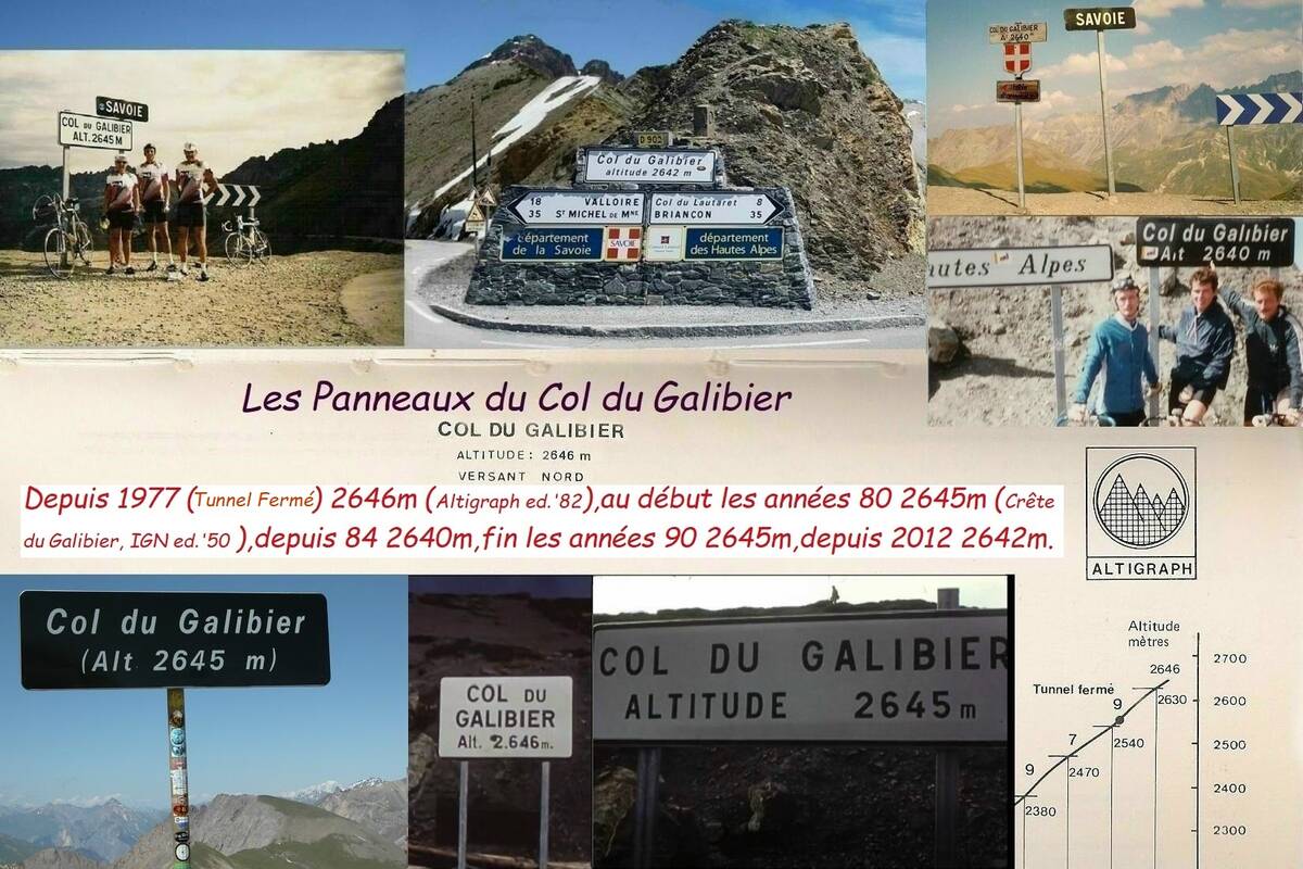
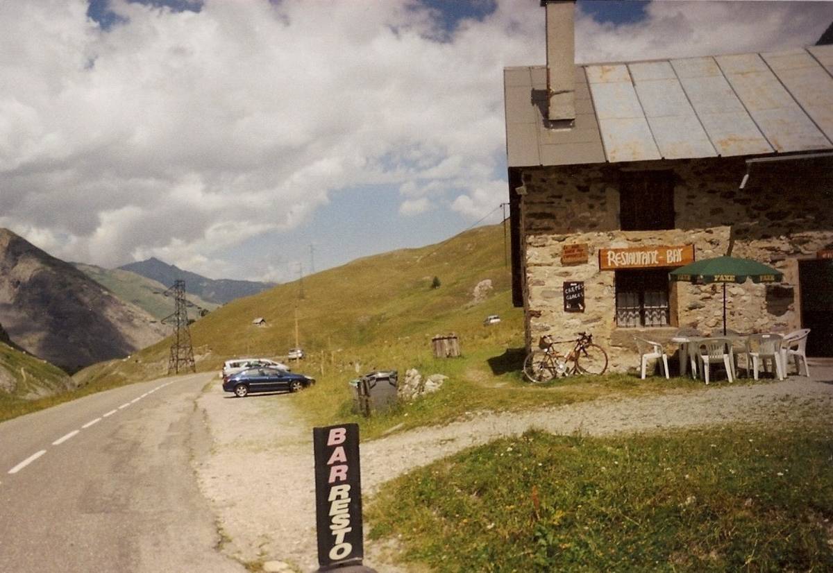
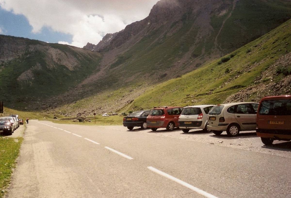
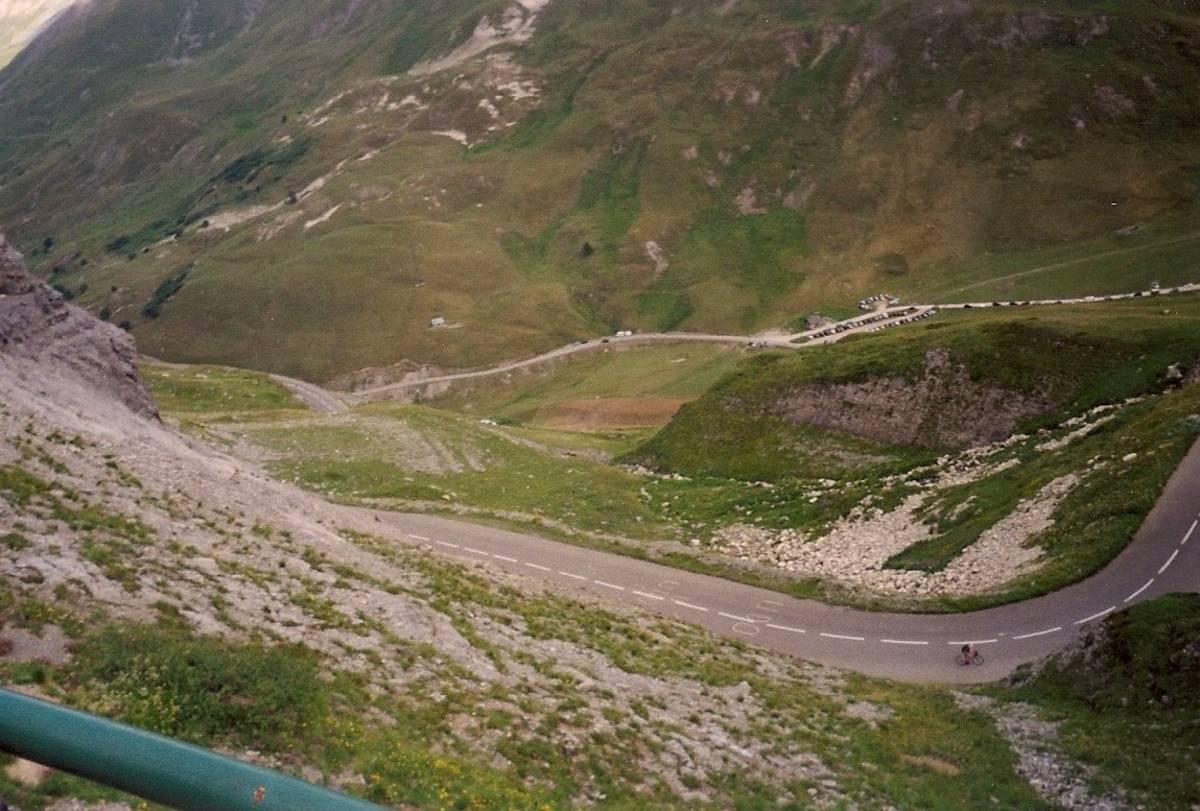
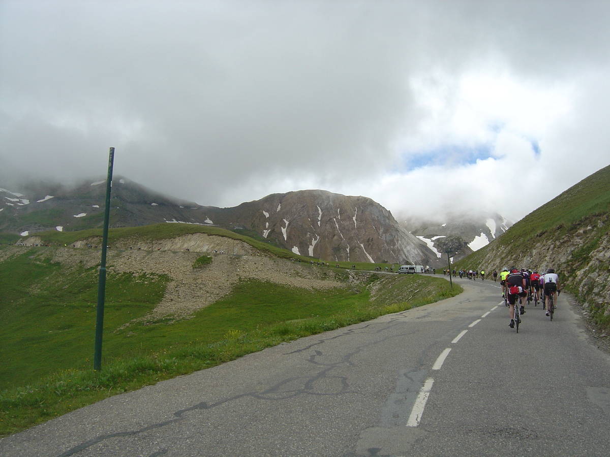
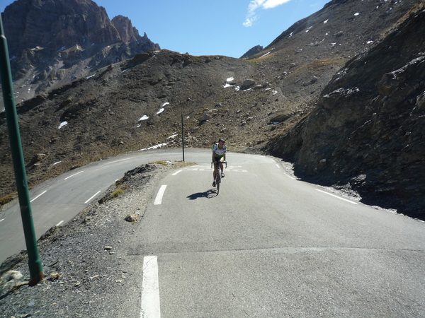
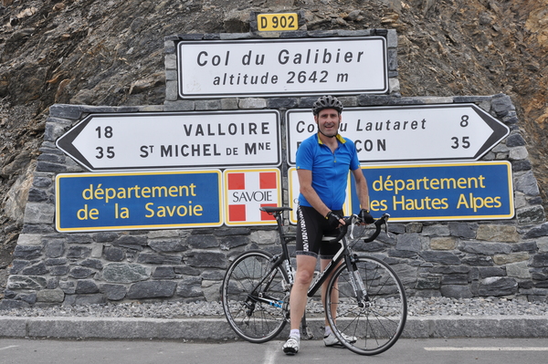
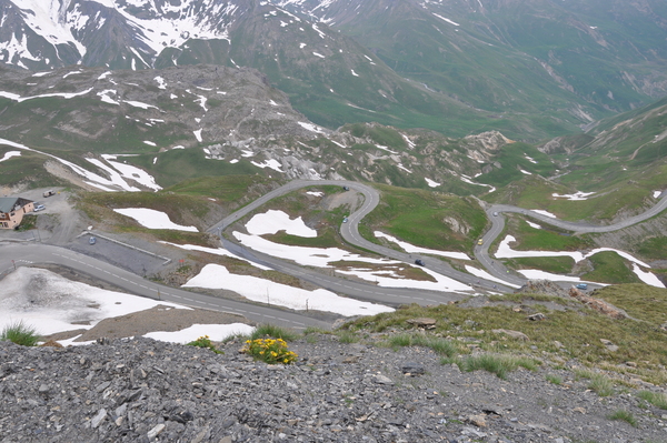
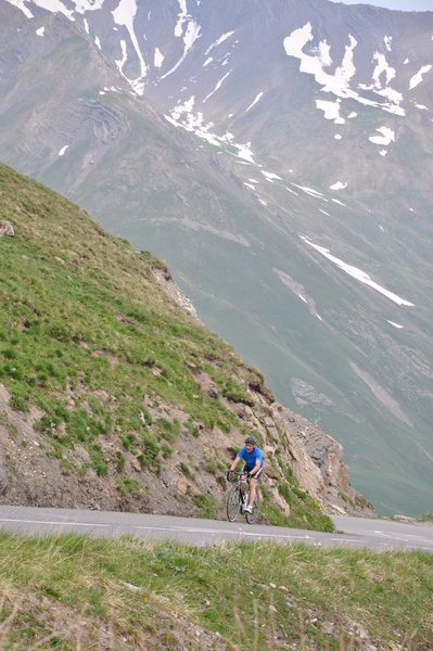
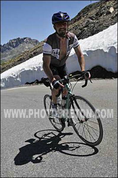
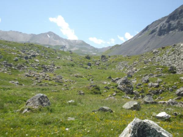
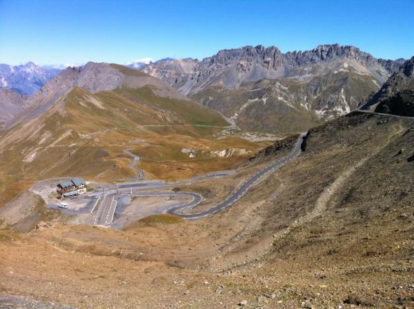
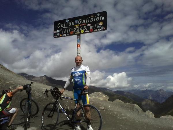
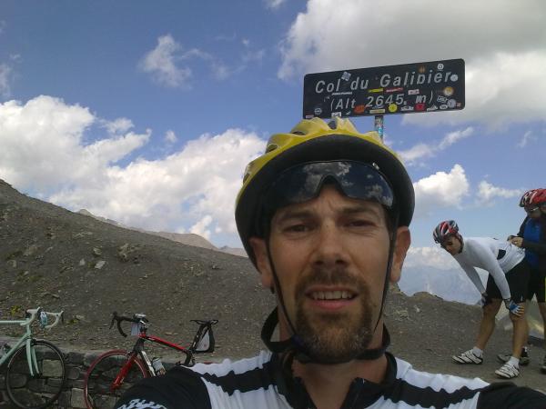
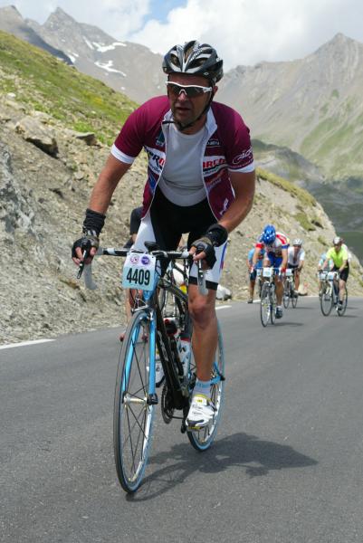
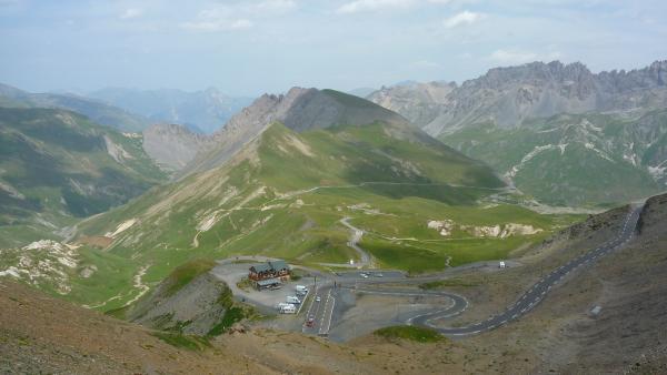
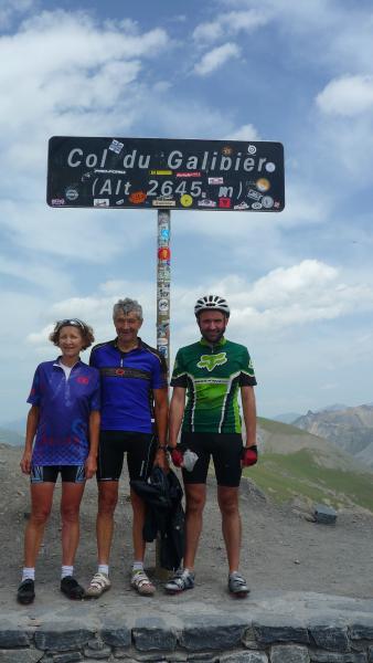
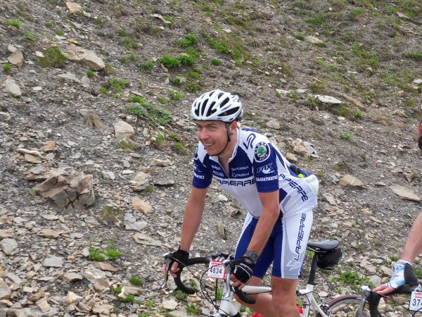
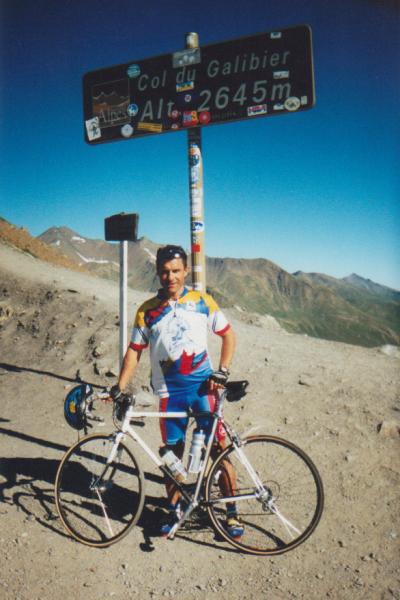
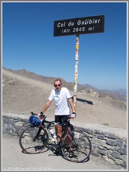
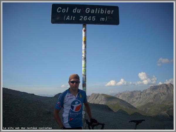
Information
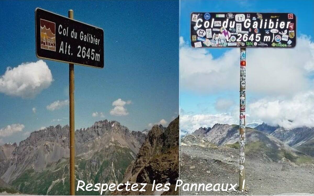
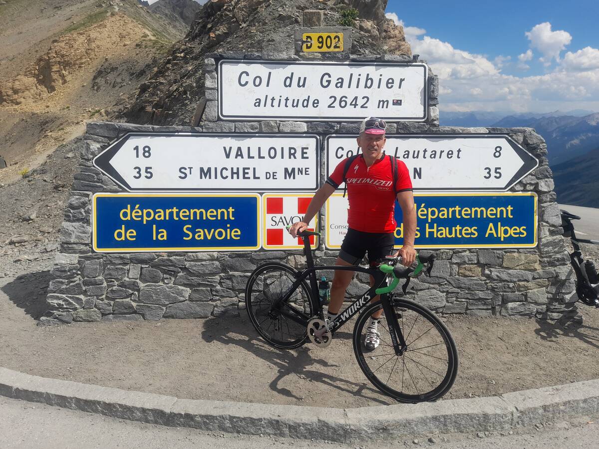
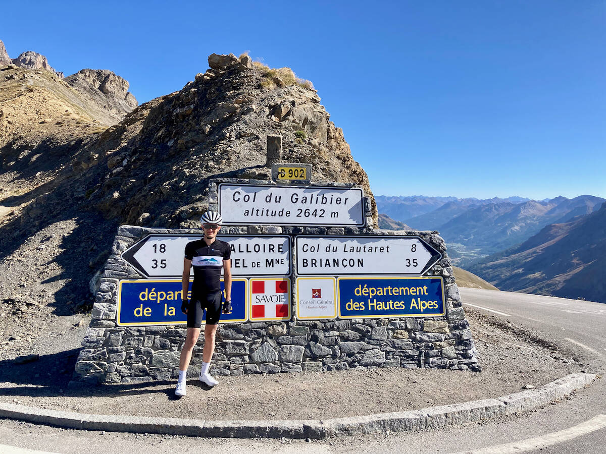
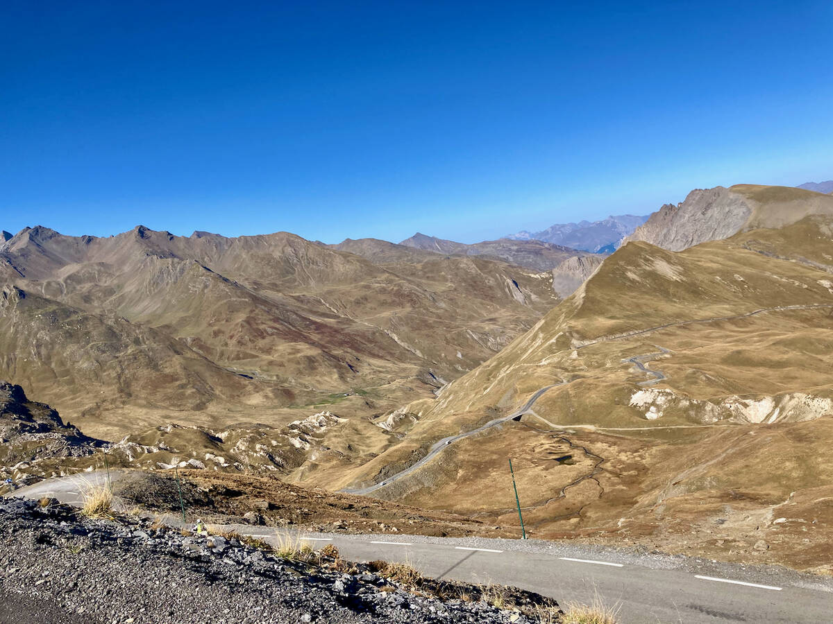
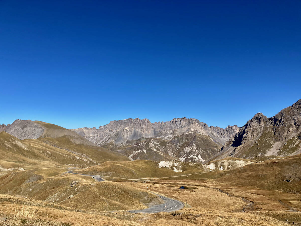
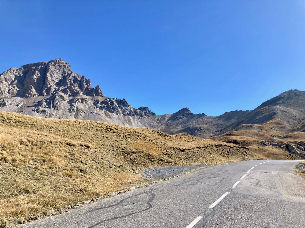
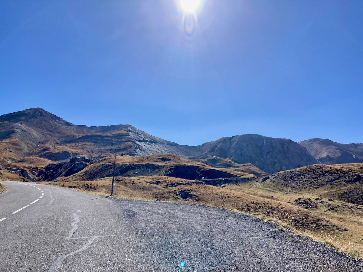
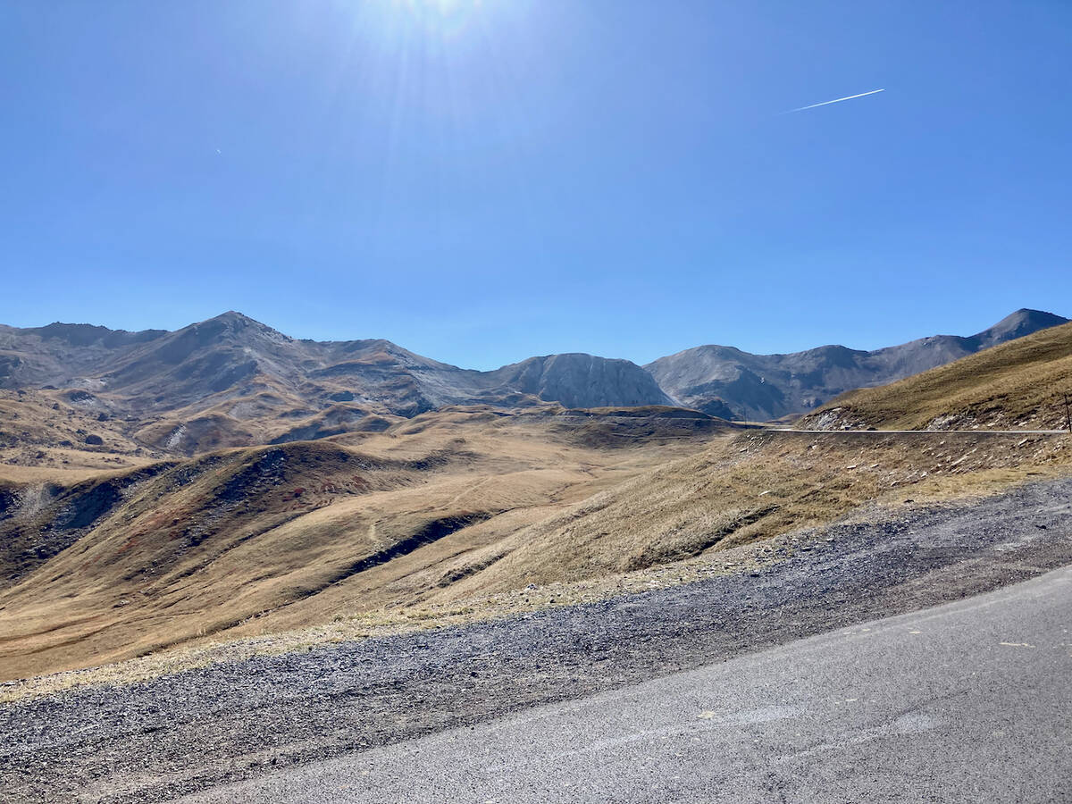
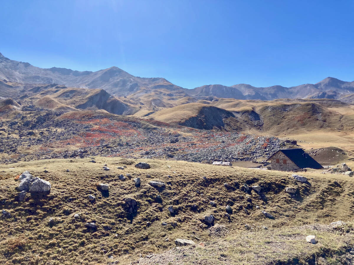
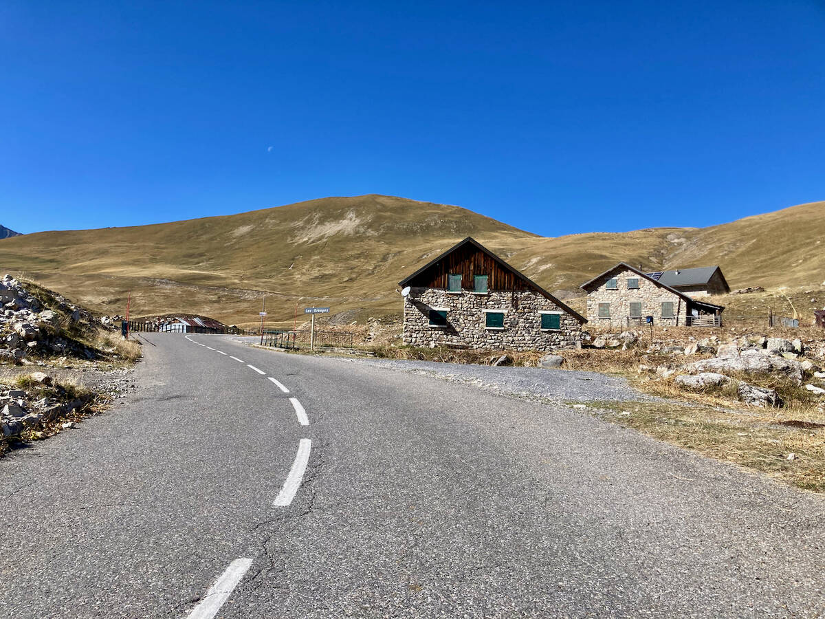
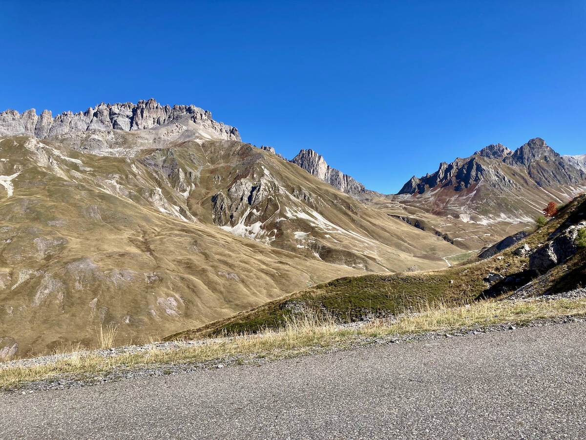
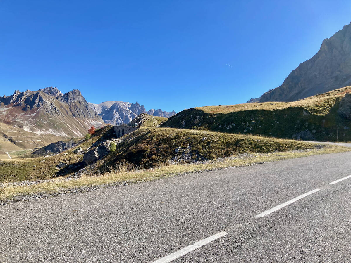
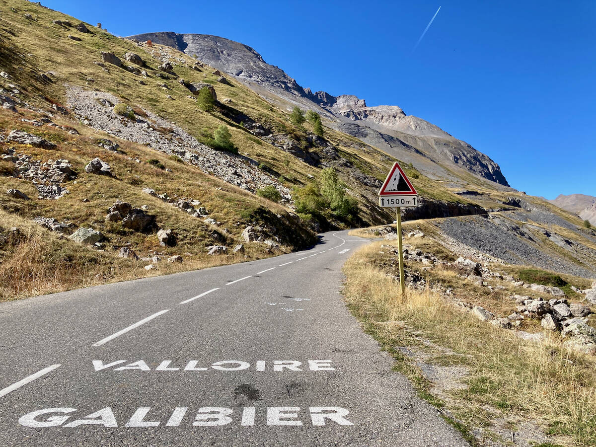
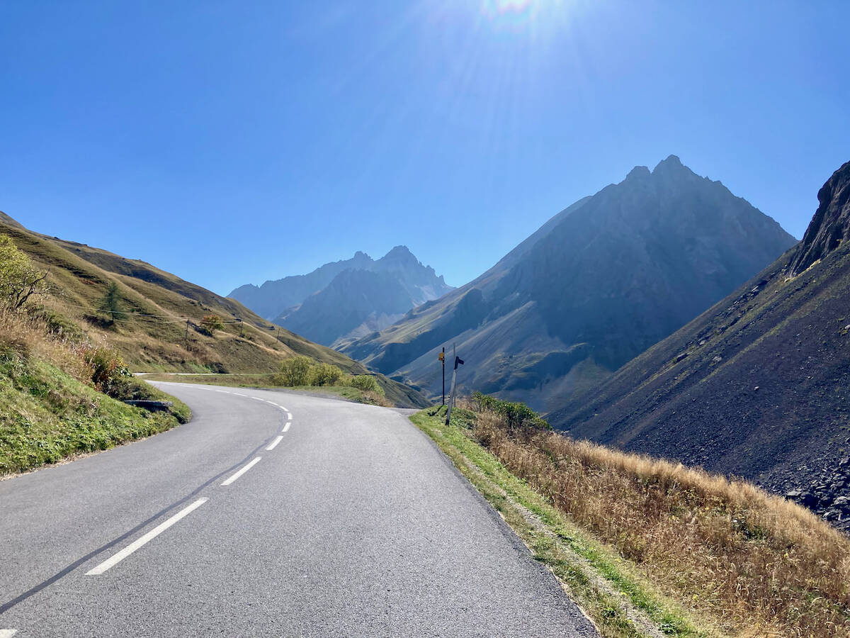
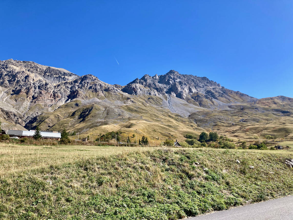
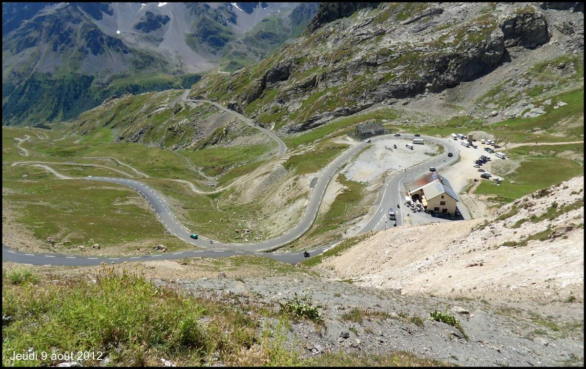
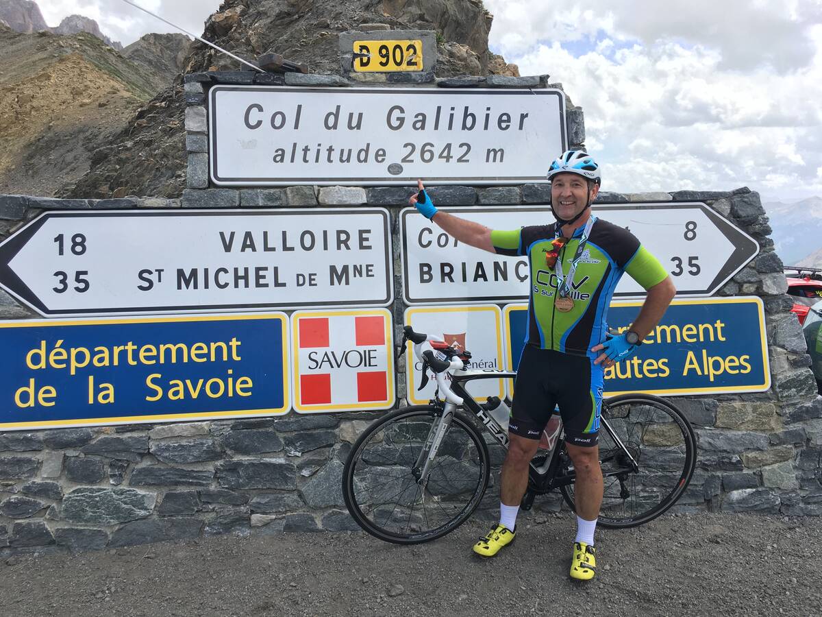
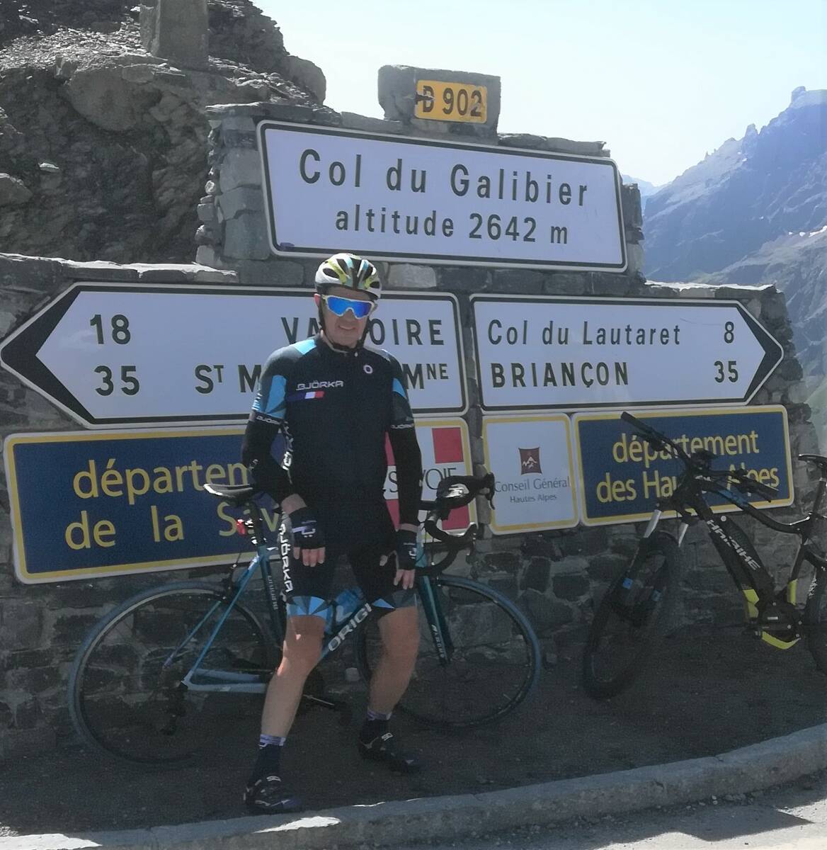
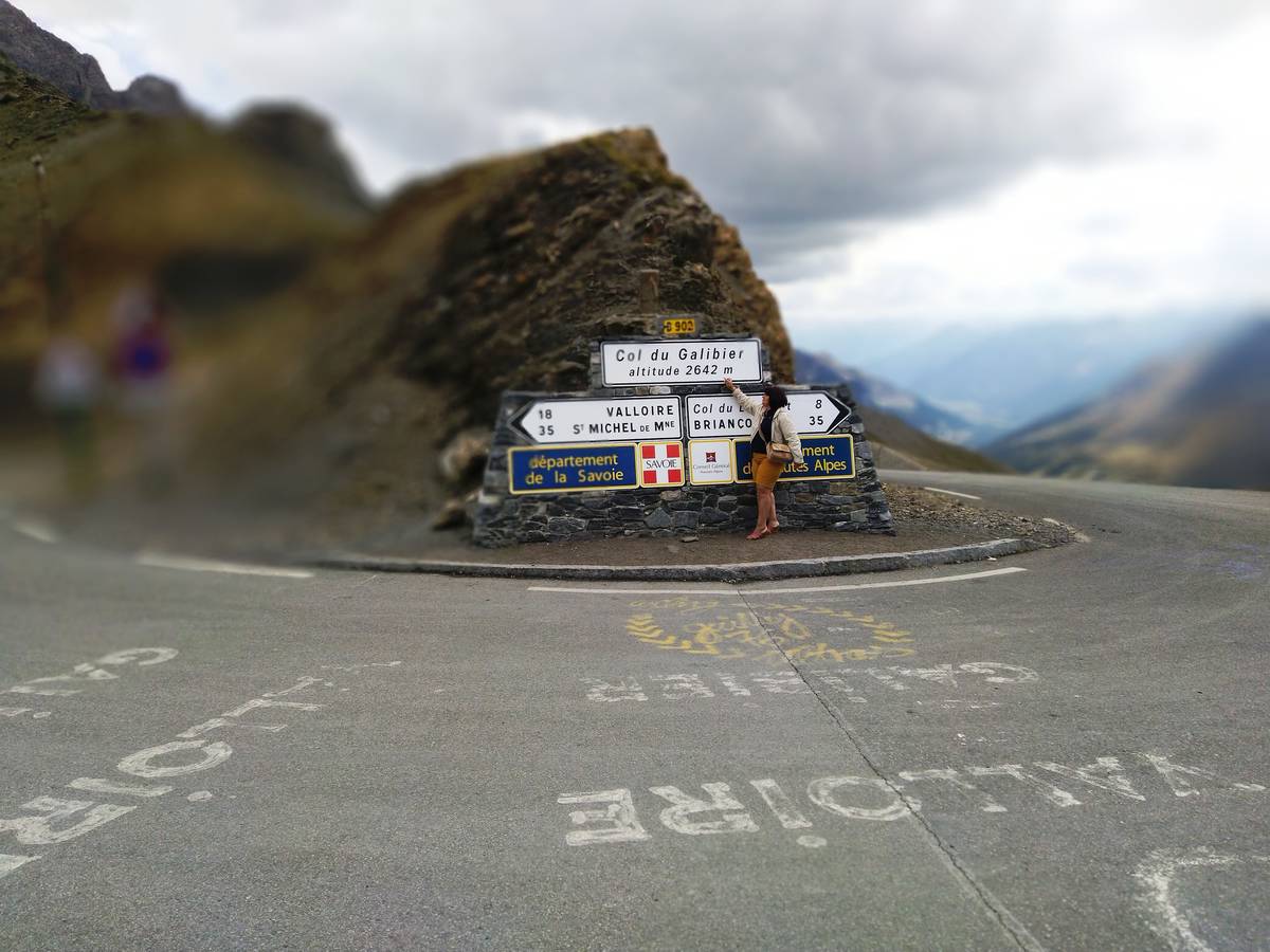
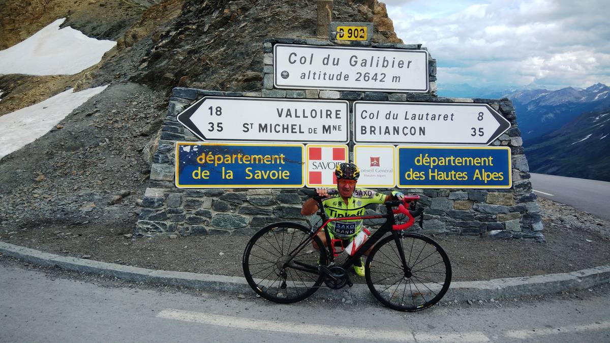
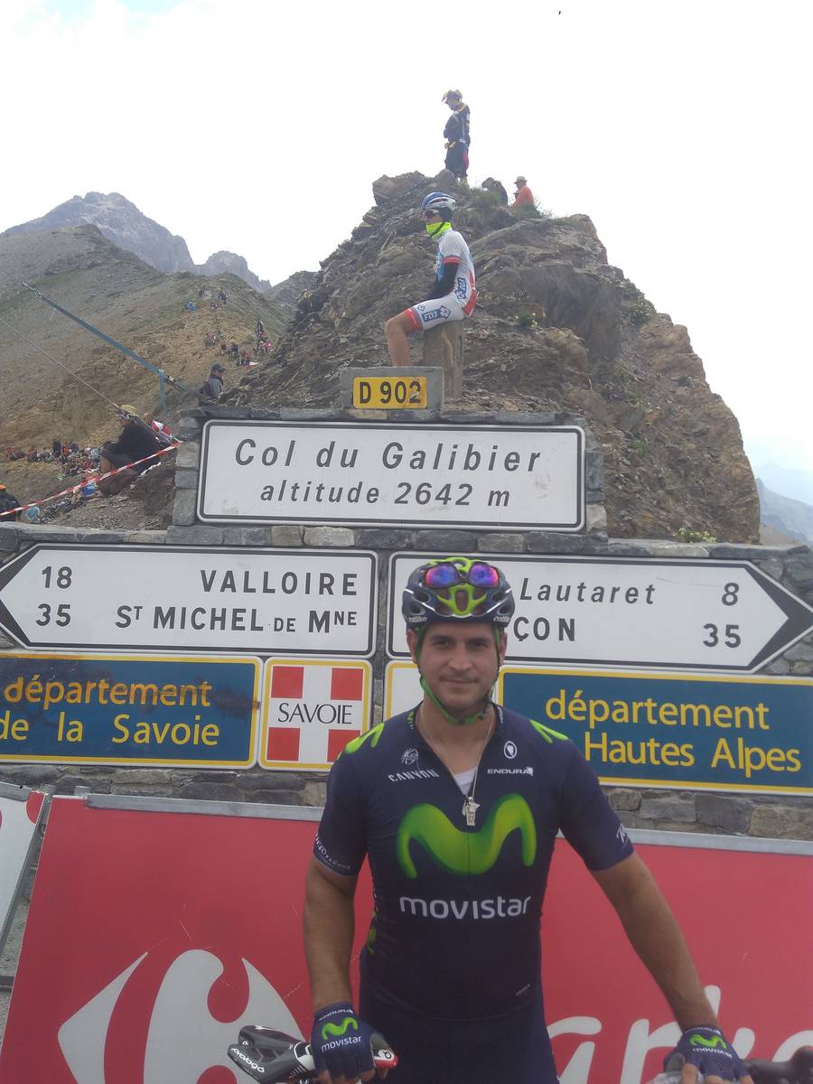
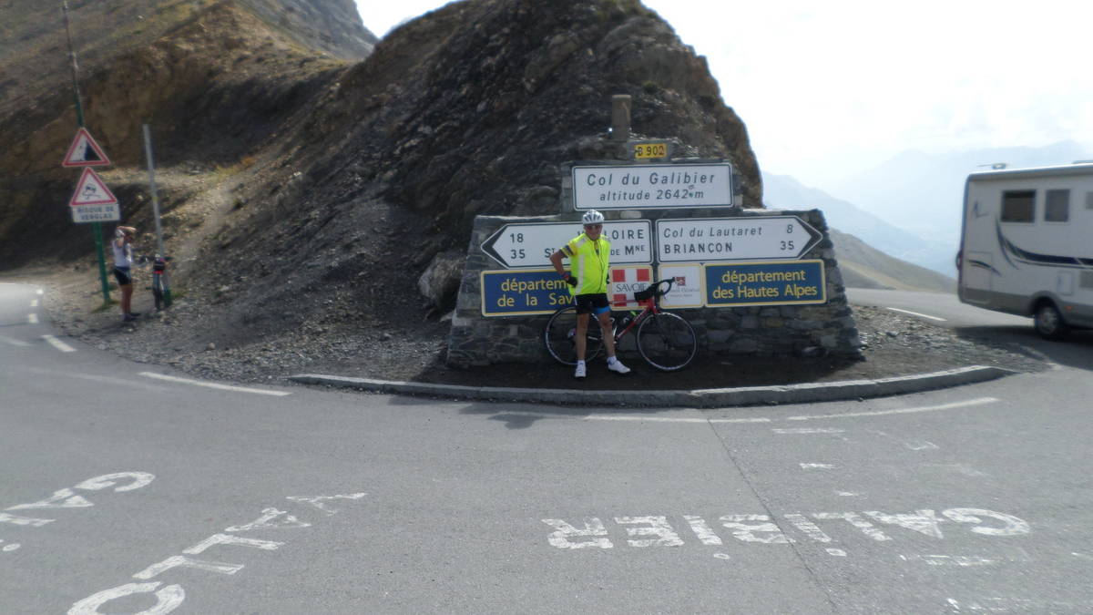
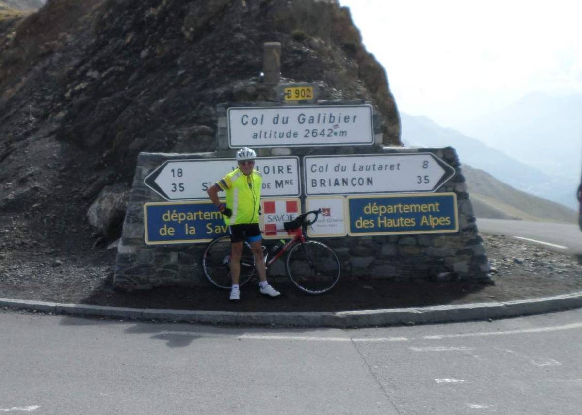
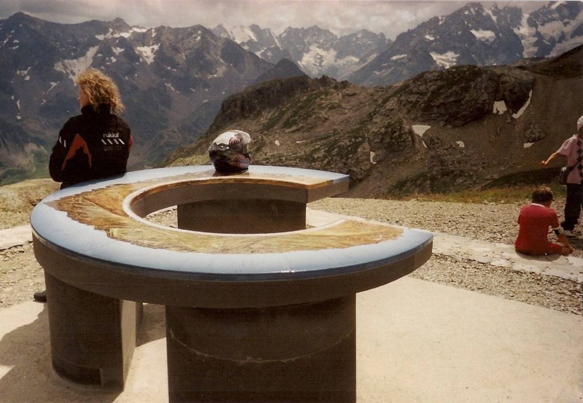
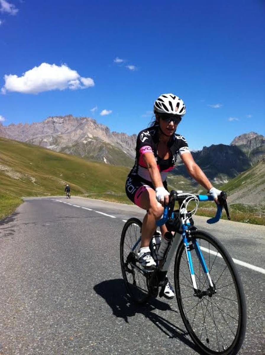
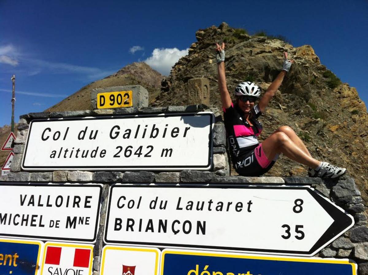
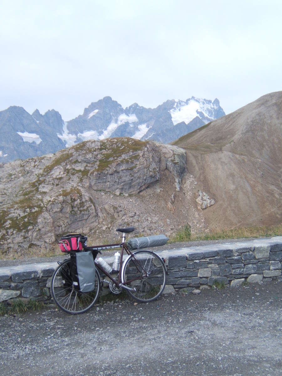
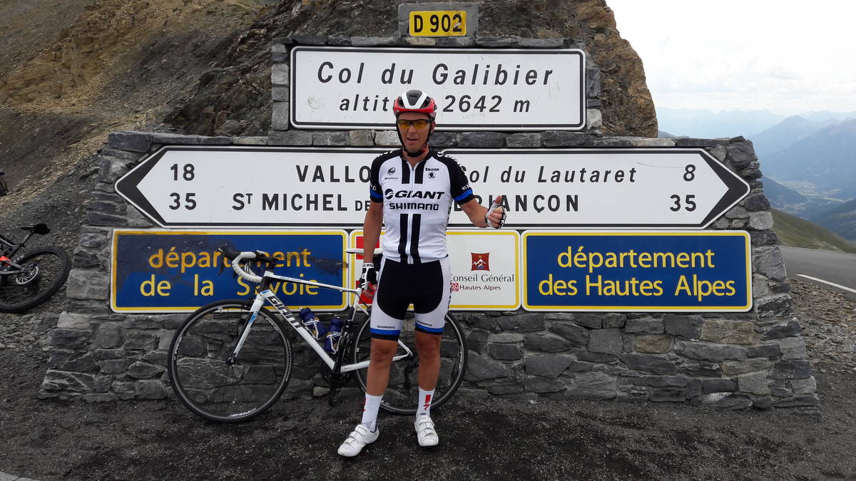
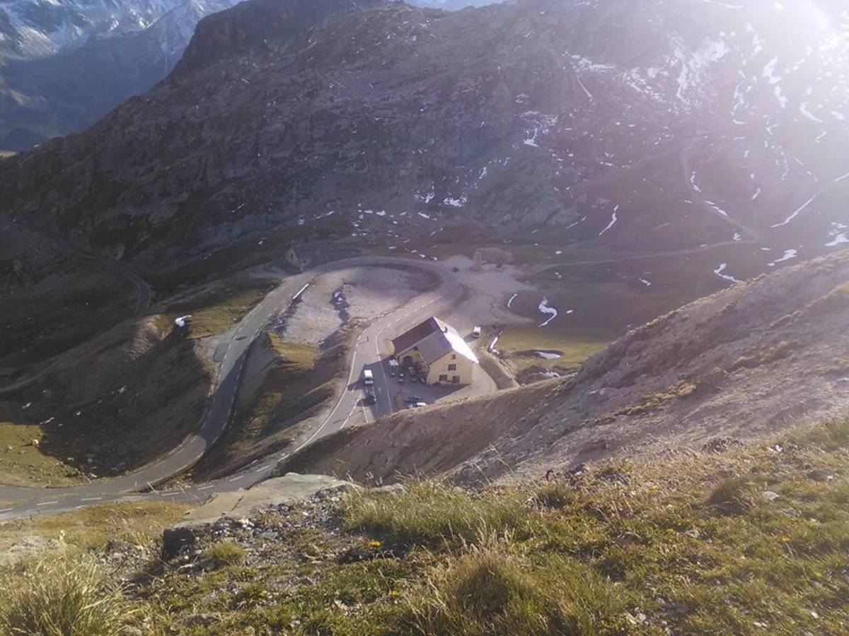
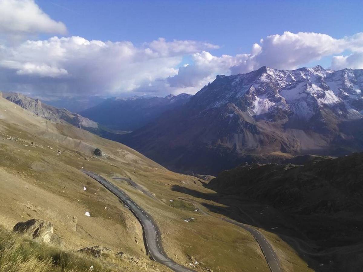
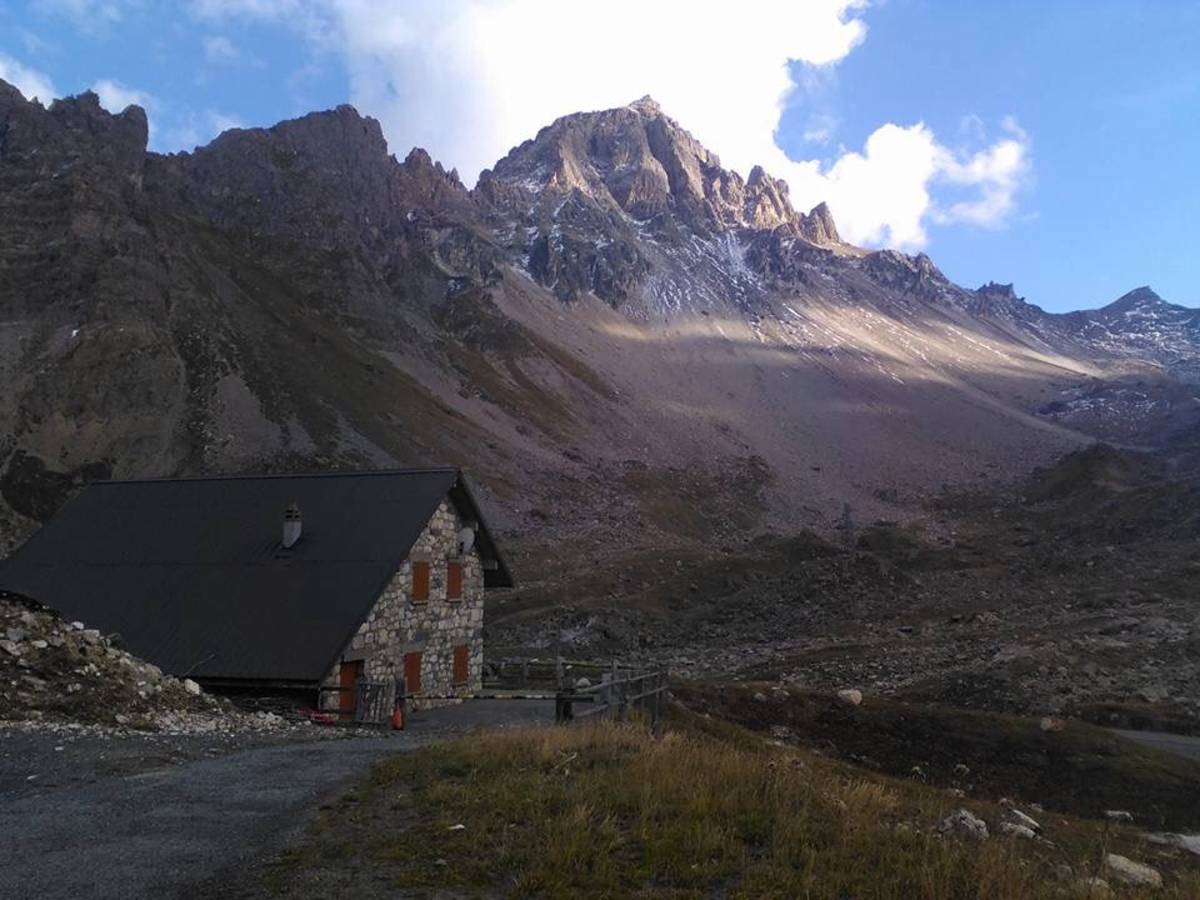
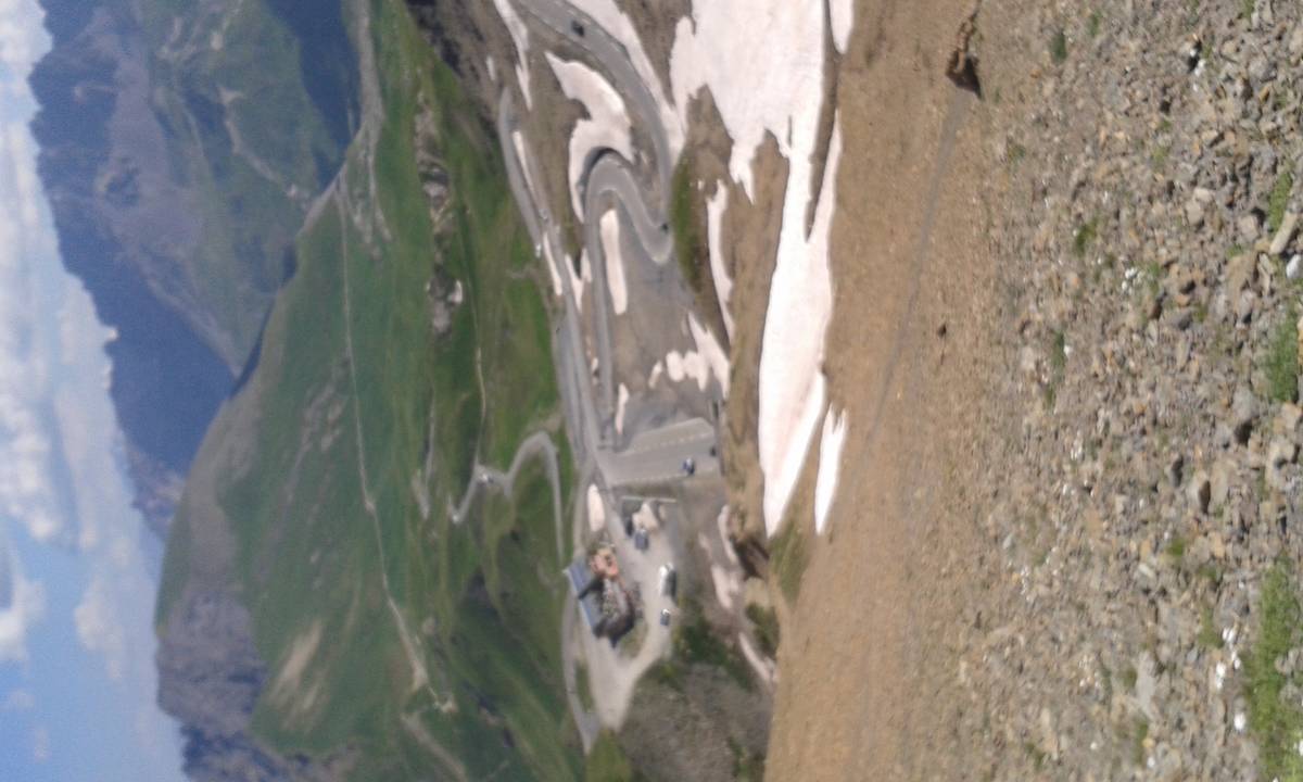
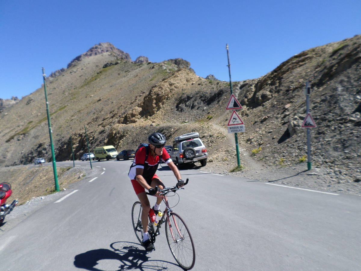
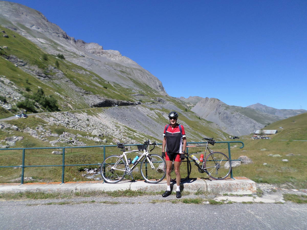
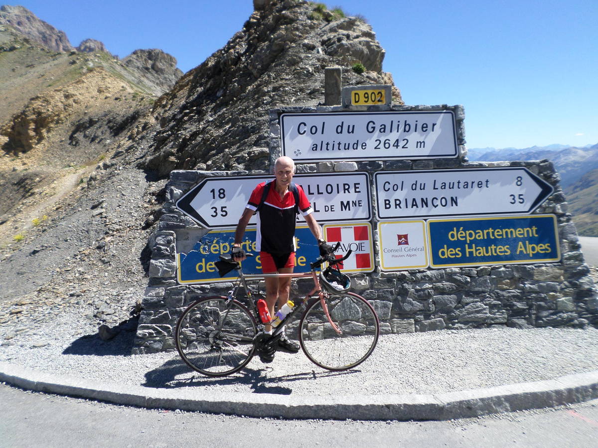
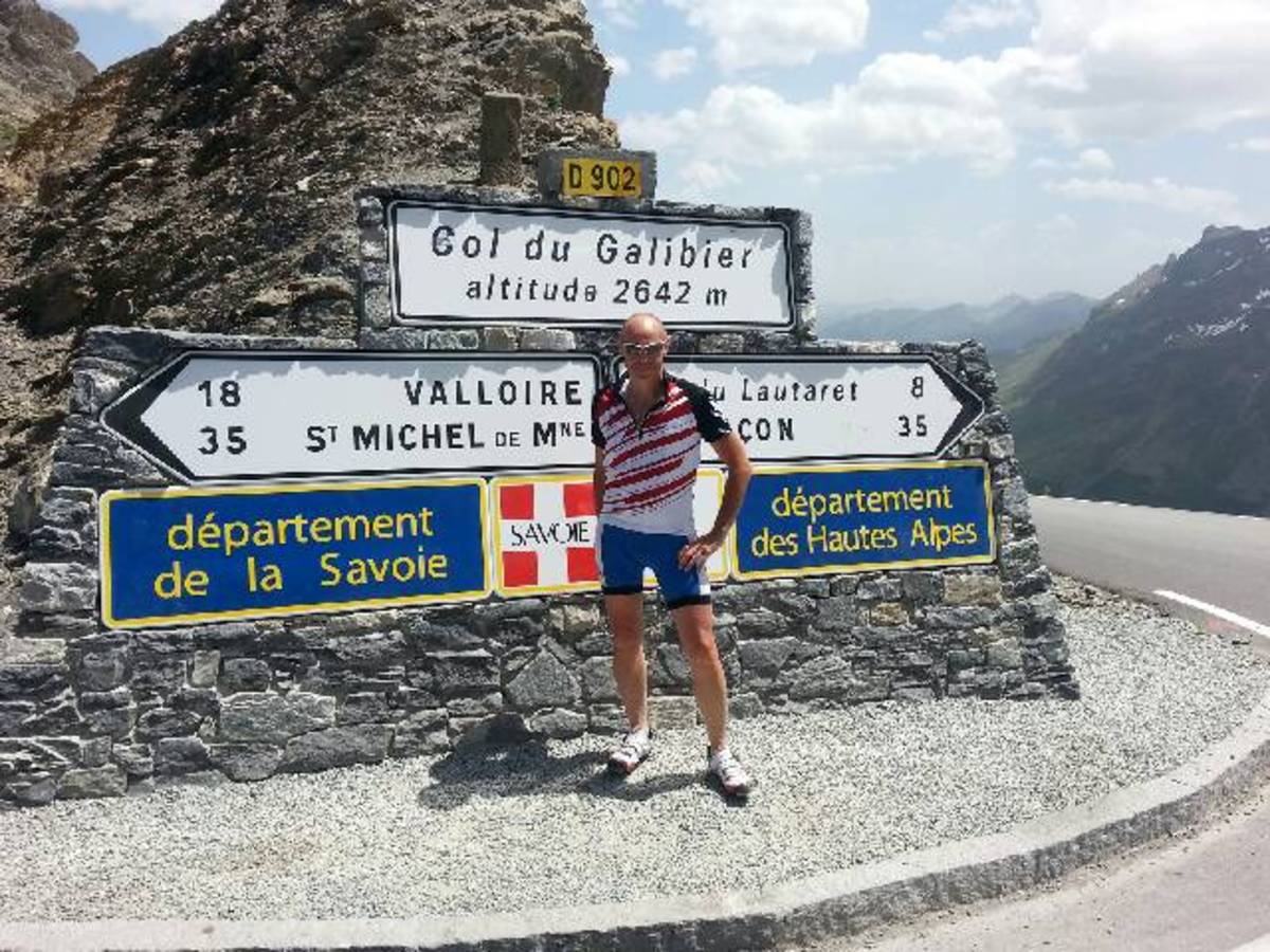
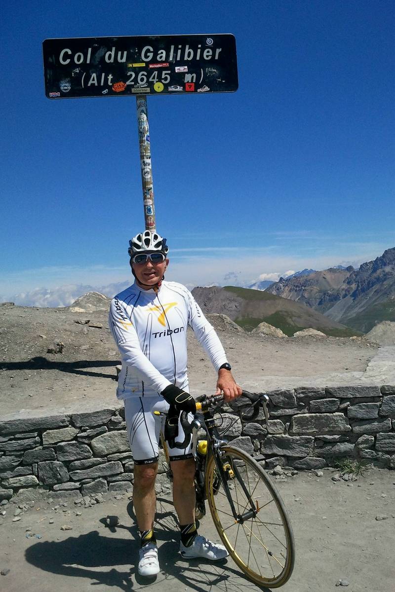
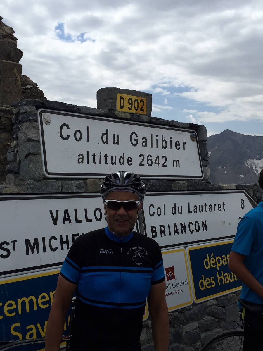
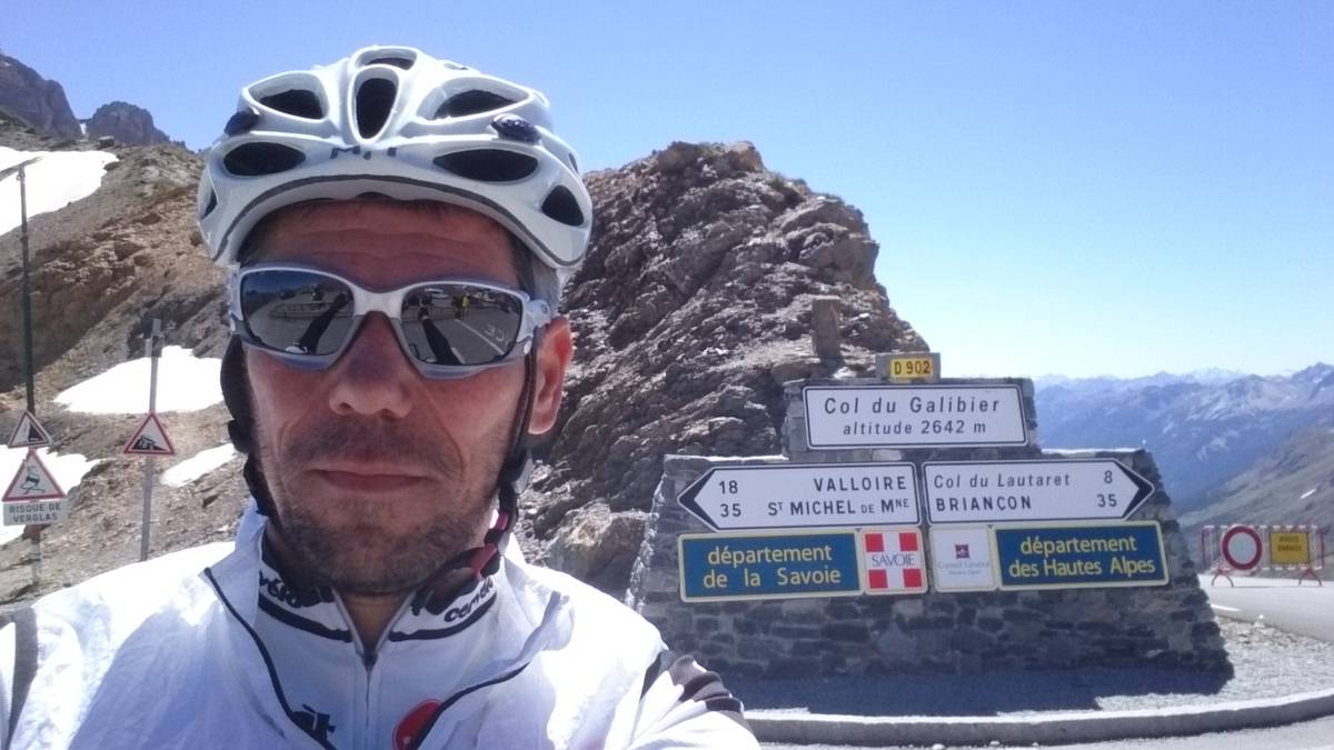
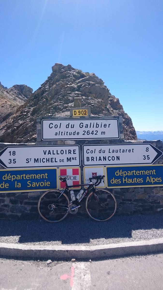
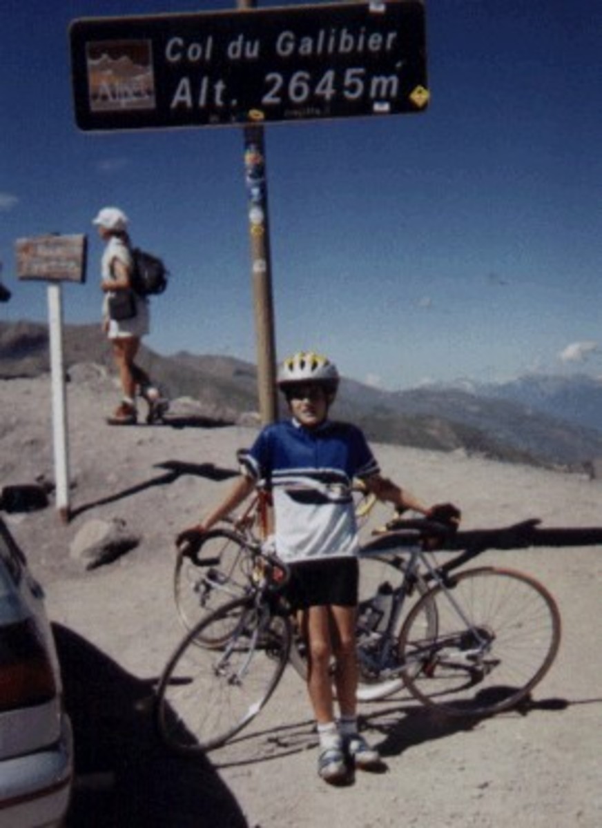
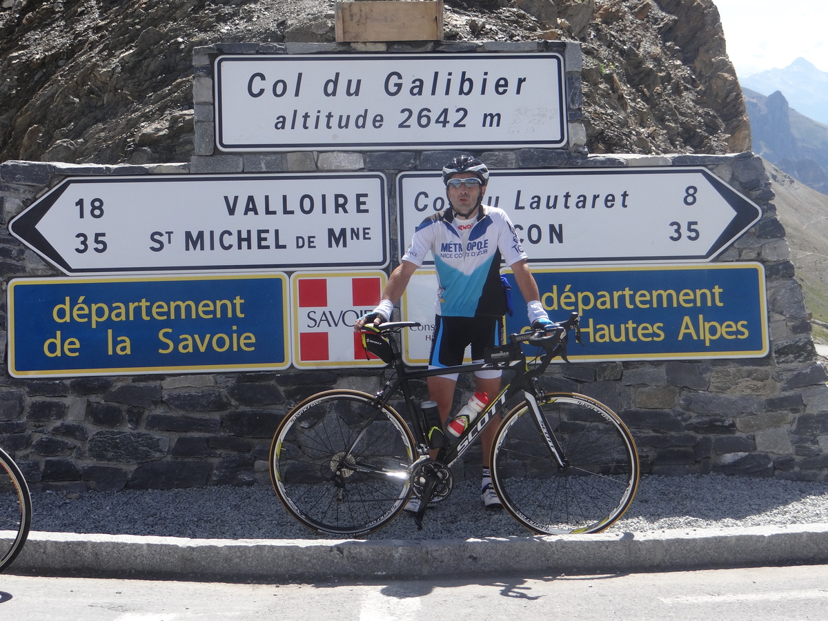
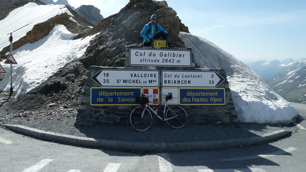
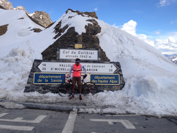
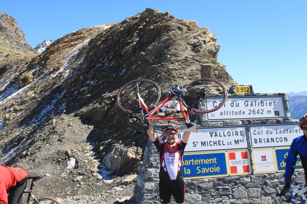
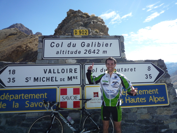
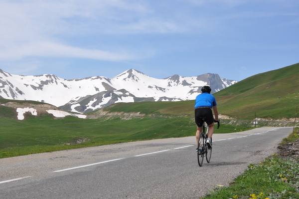
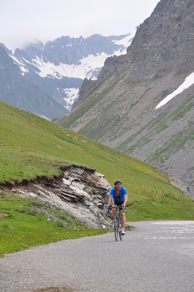
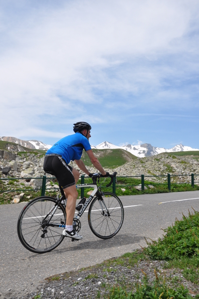
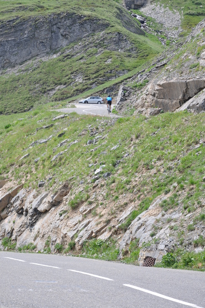
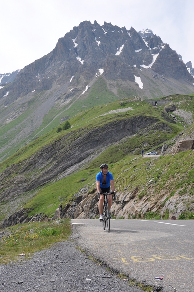
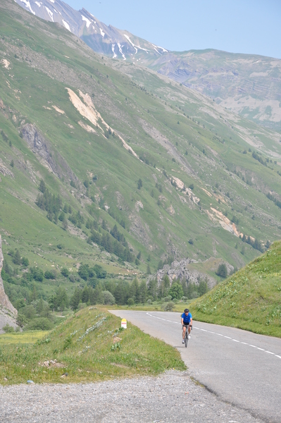
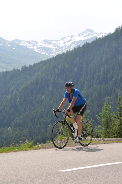
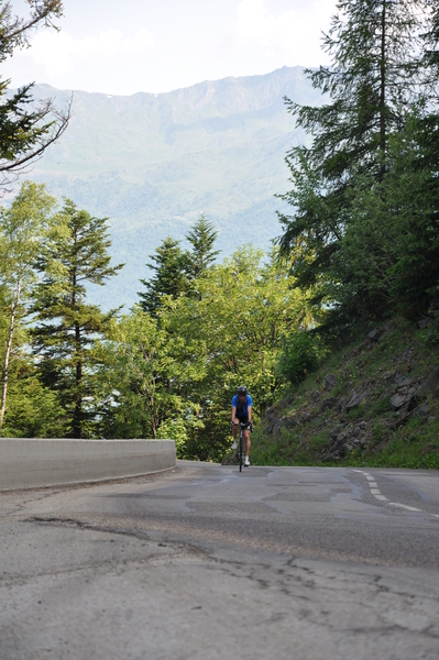
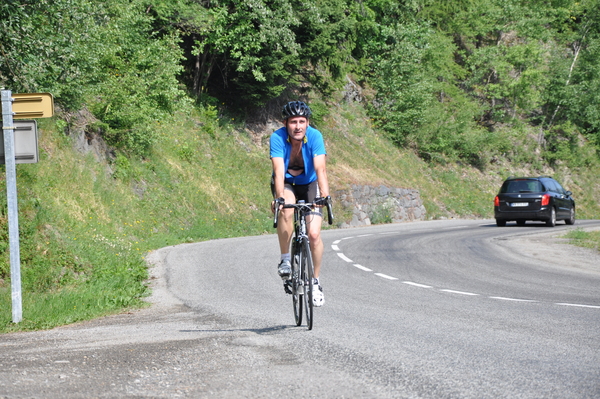
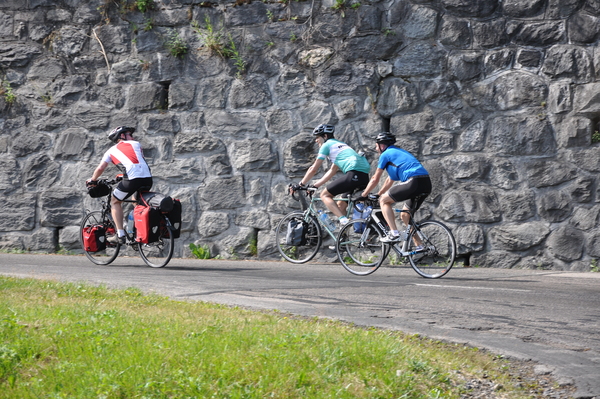
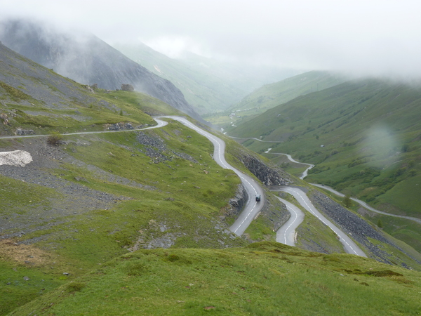
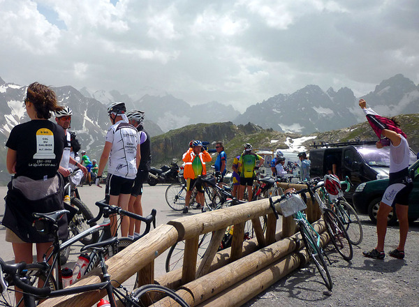
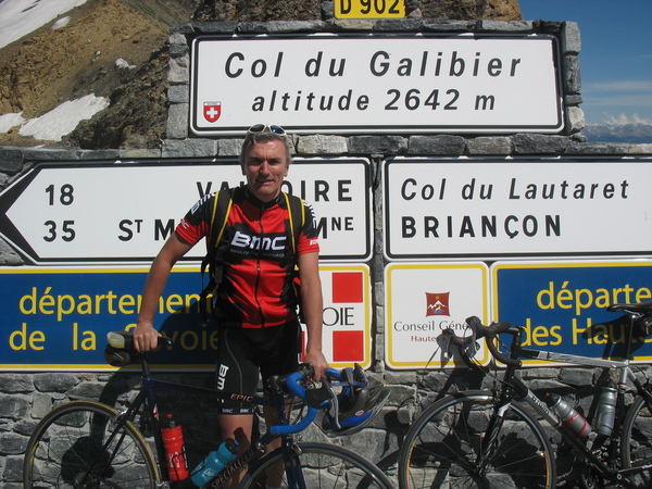
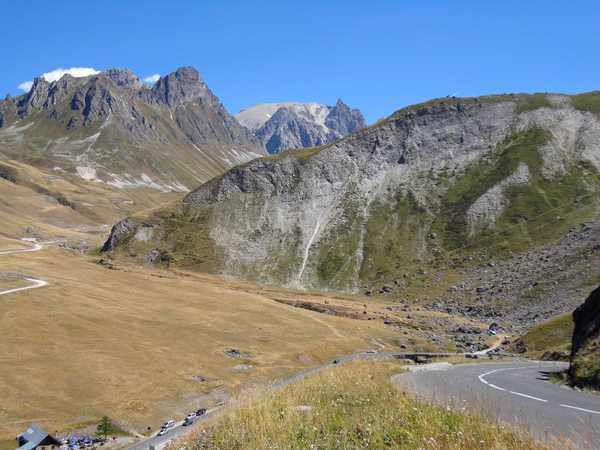
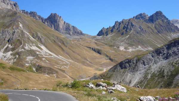
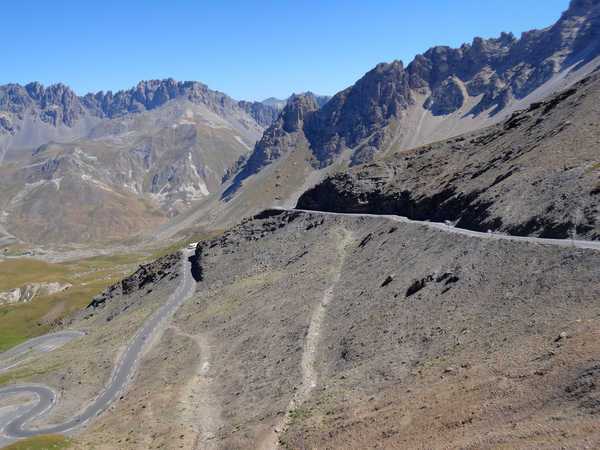
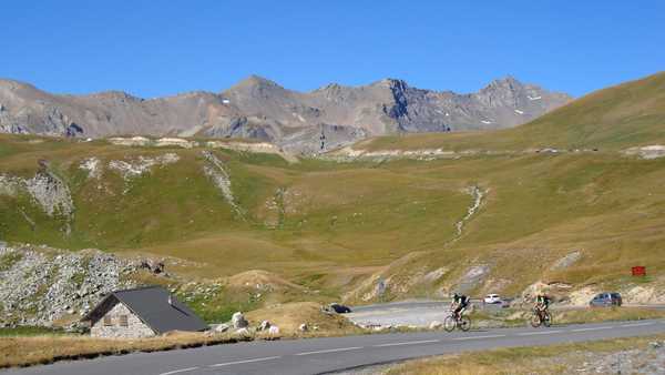
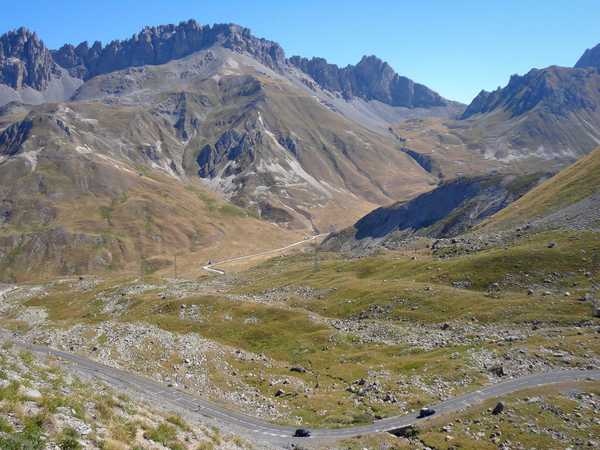
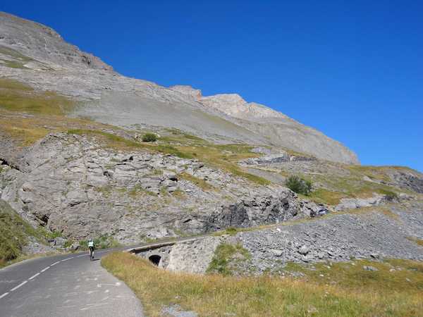
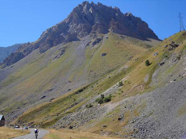
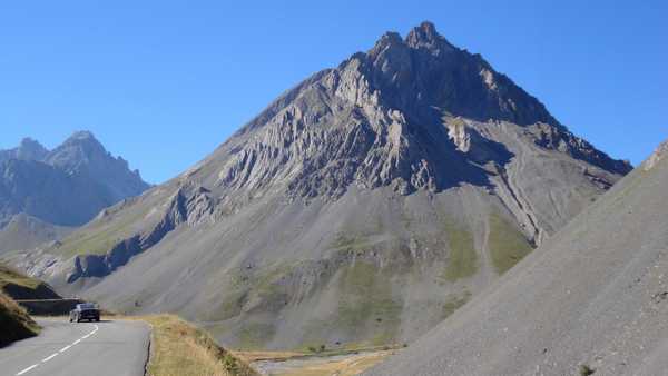
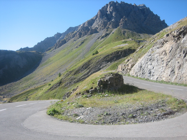
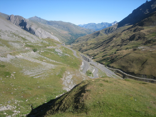
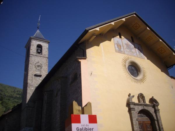
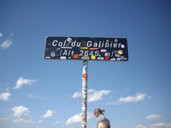
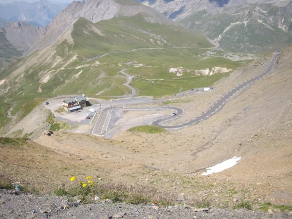
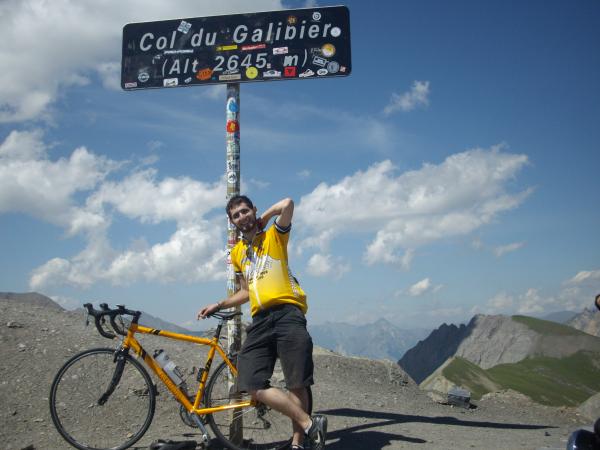
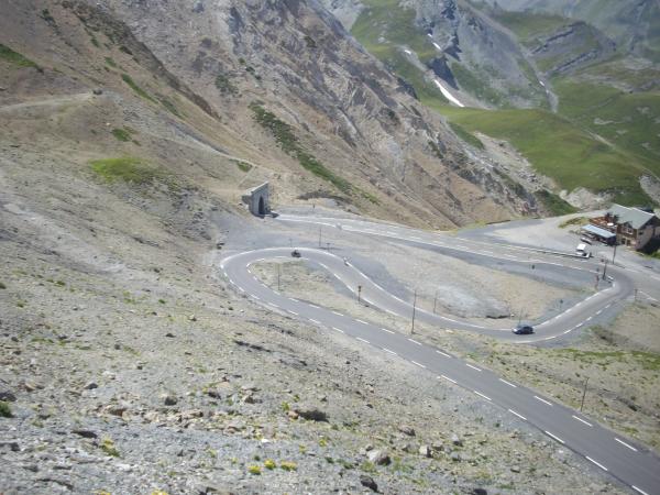
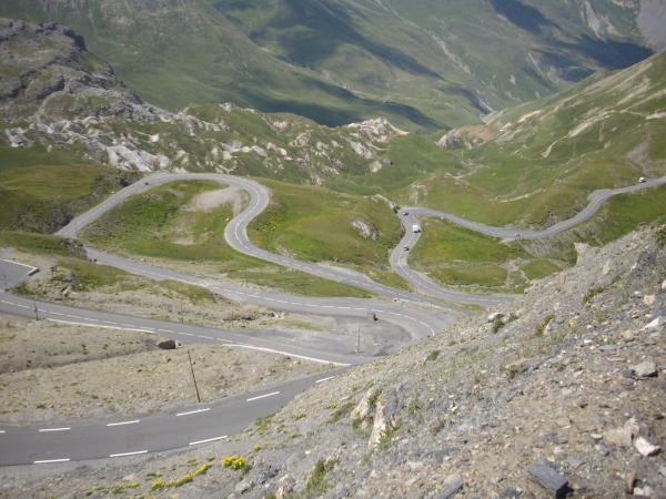
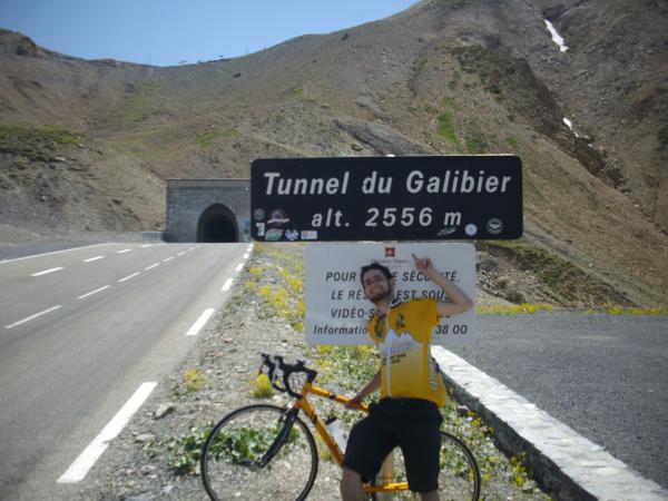
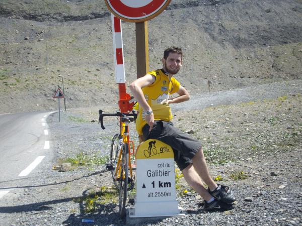
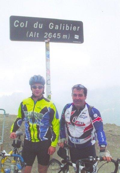
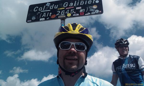
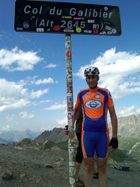
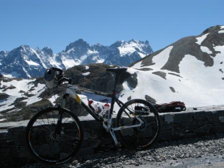
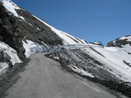
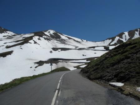
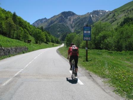
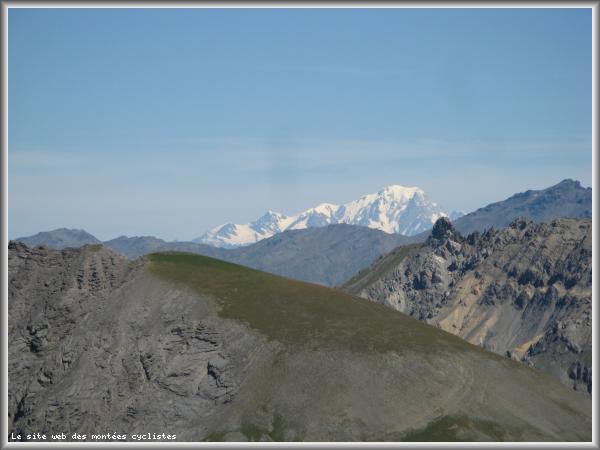
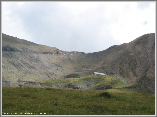
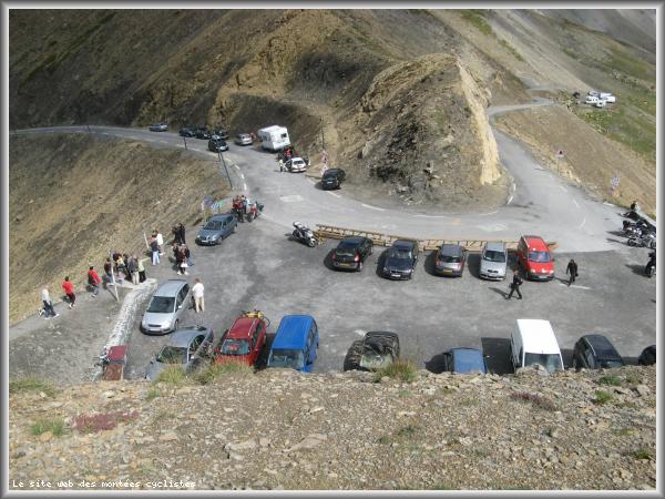
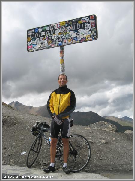
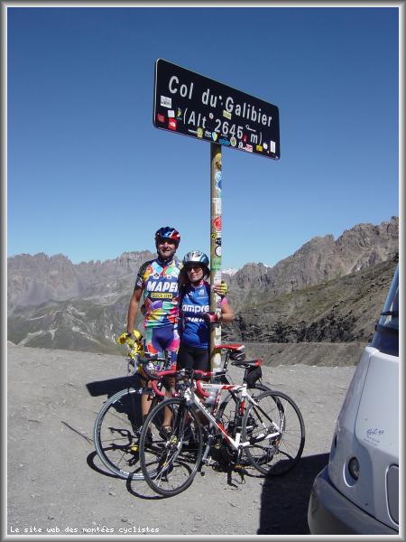
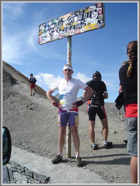
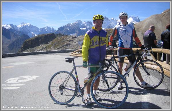
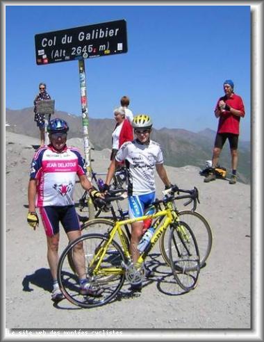
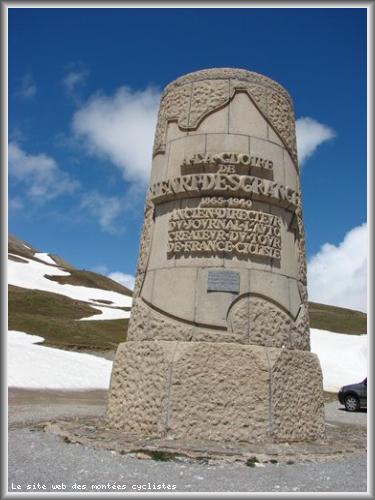
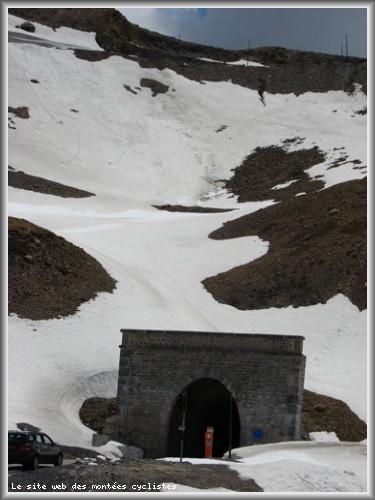
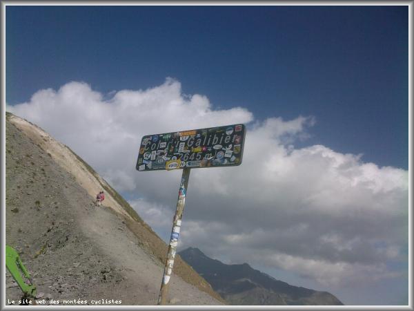
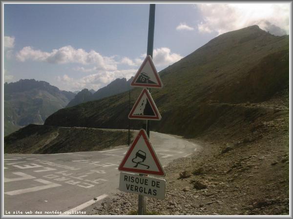
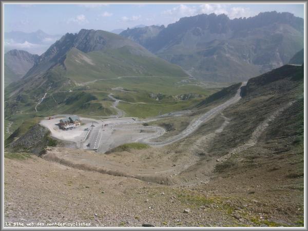
| Name : | Col du Galibier |
| Altitude : | 2642 m |
| Opening : |  Ouvert Ouvert |
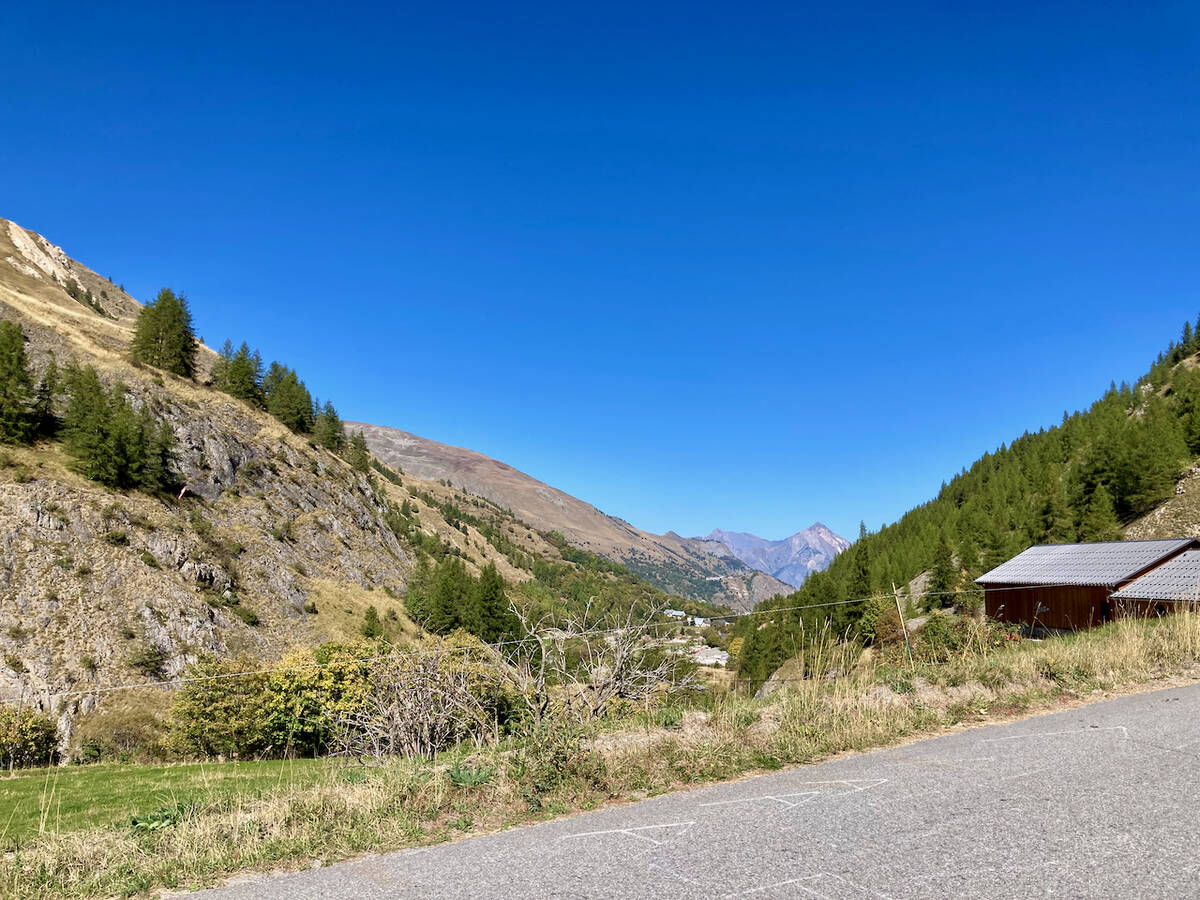
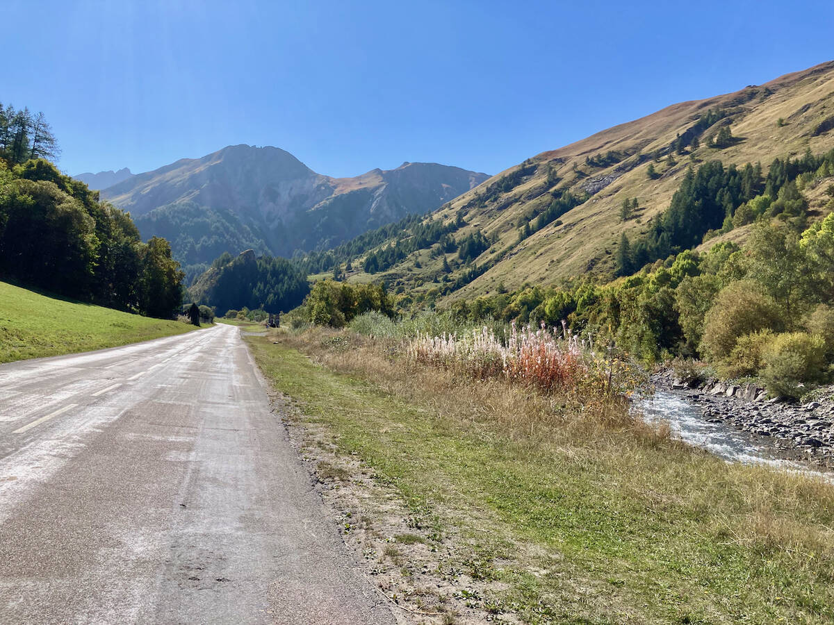
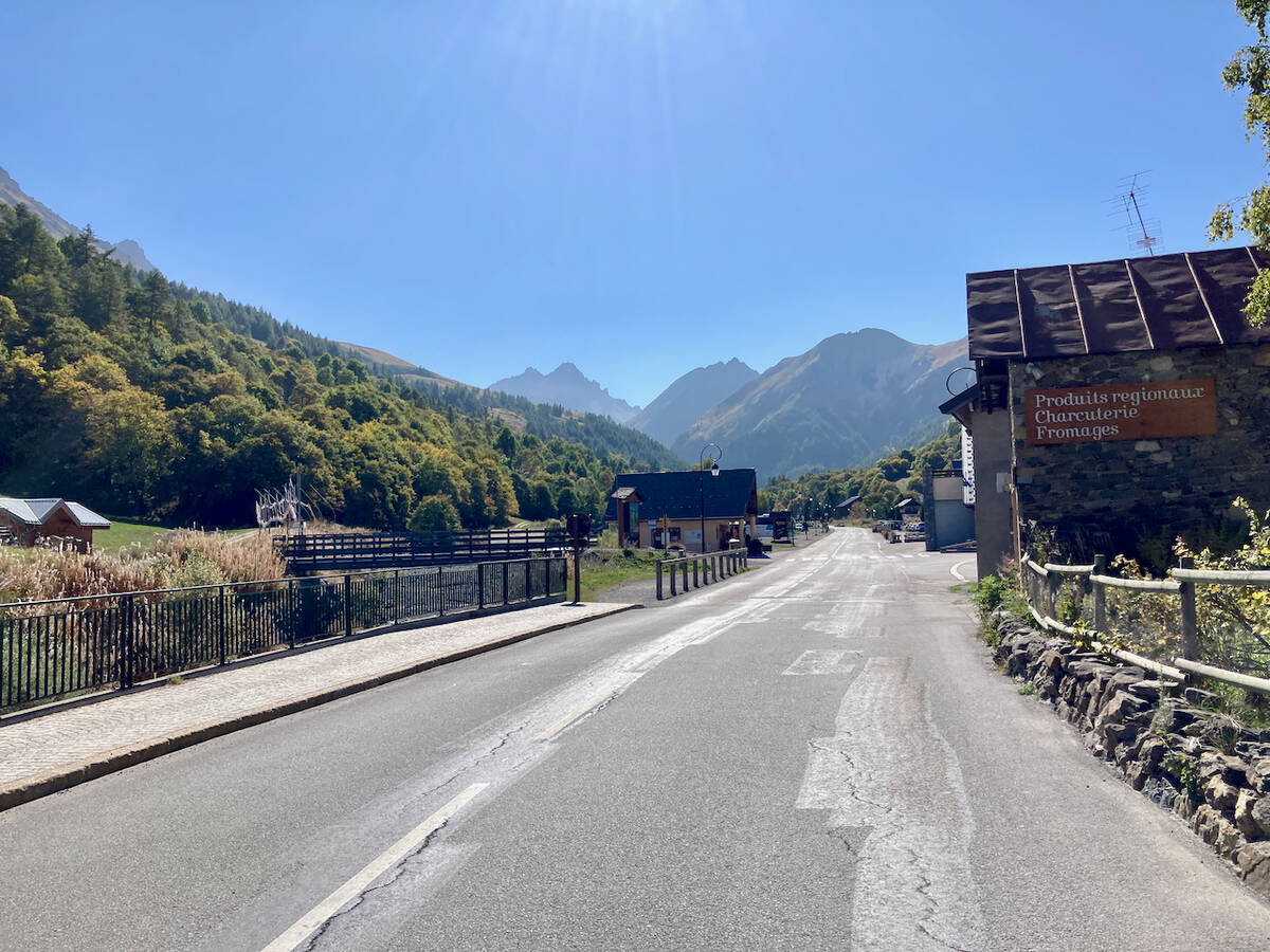
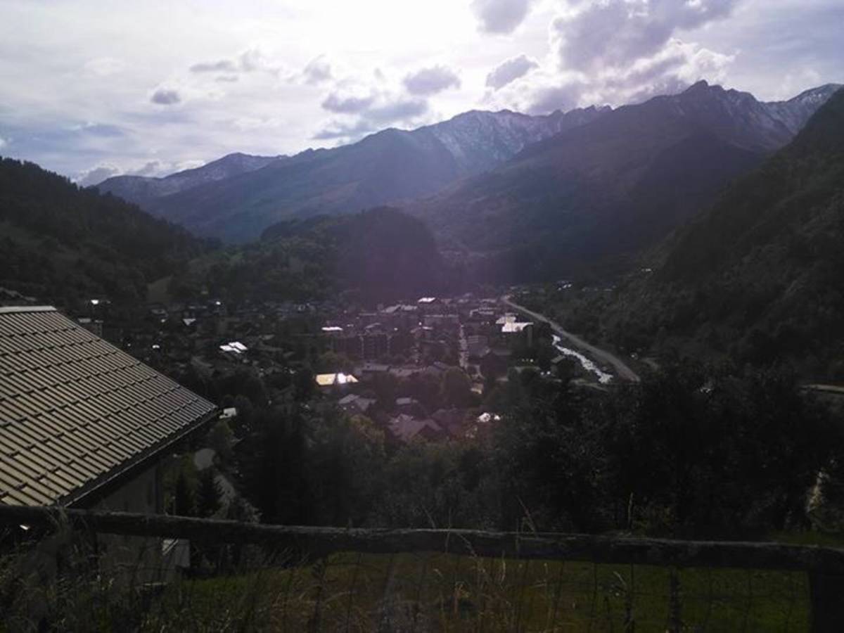
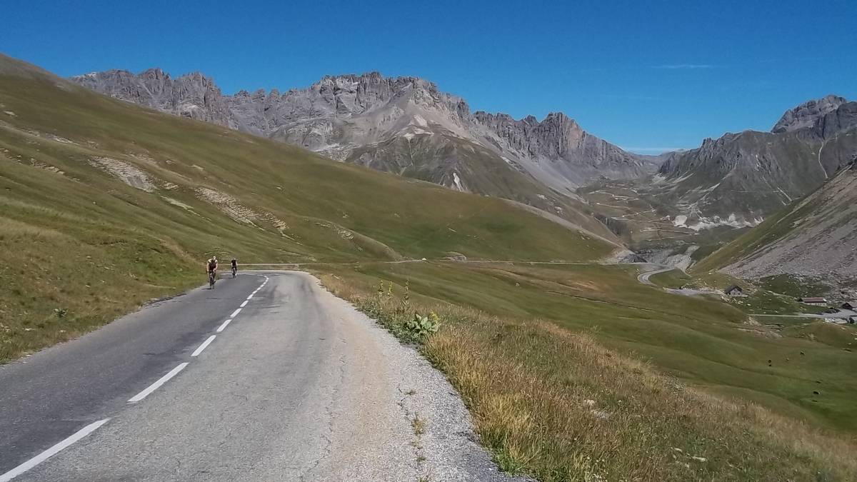
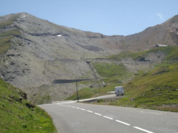
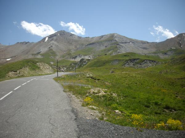
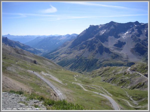
| Start : | Saint Michel de Maurienne |
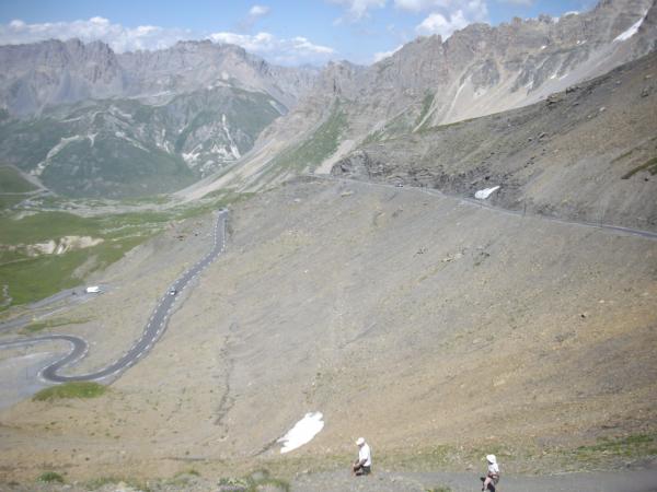
| Length : | 34.80 km |
| Elevation gain : | 1922 m |
| % Avg : | 5.52% |
| % Max : | 10.5% |
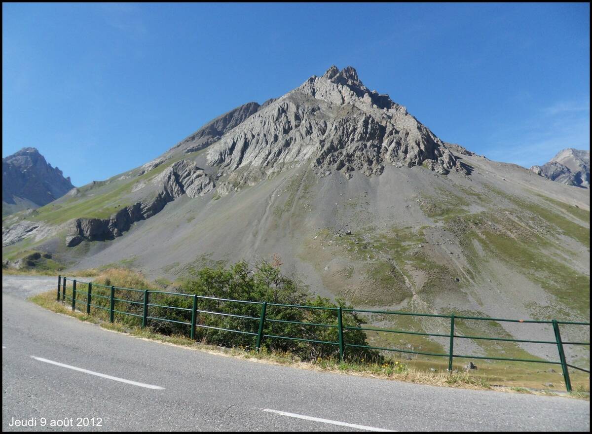
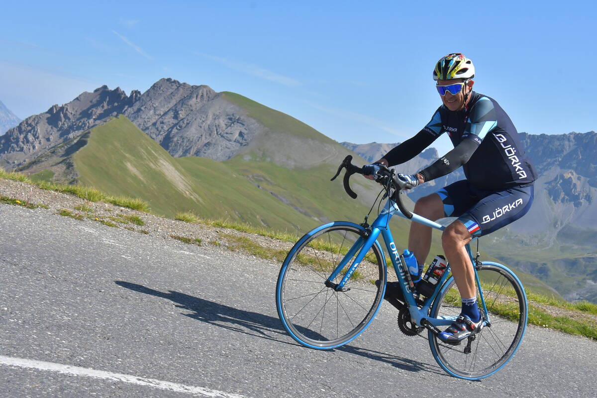
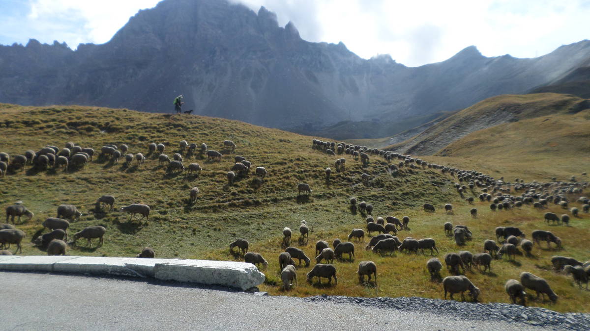
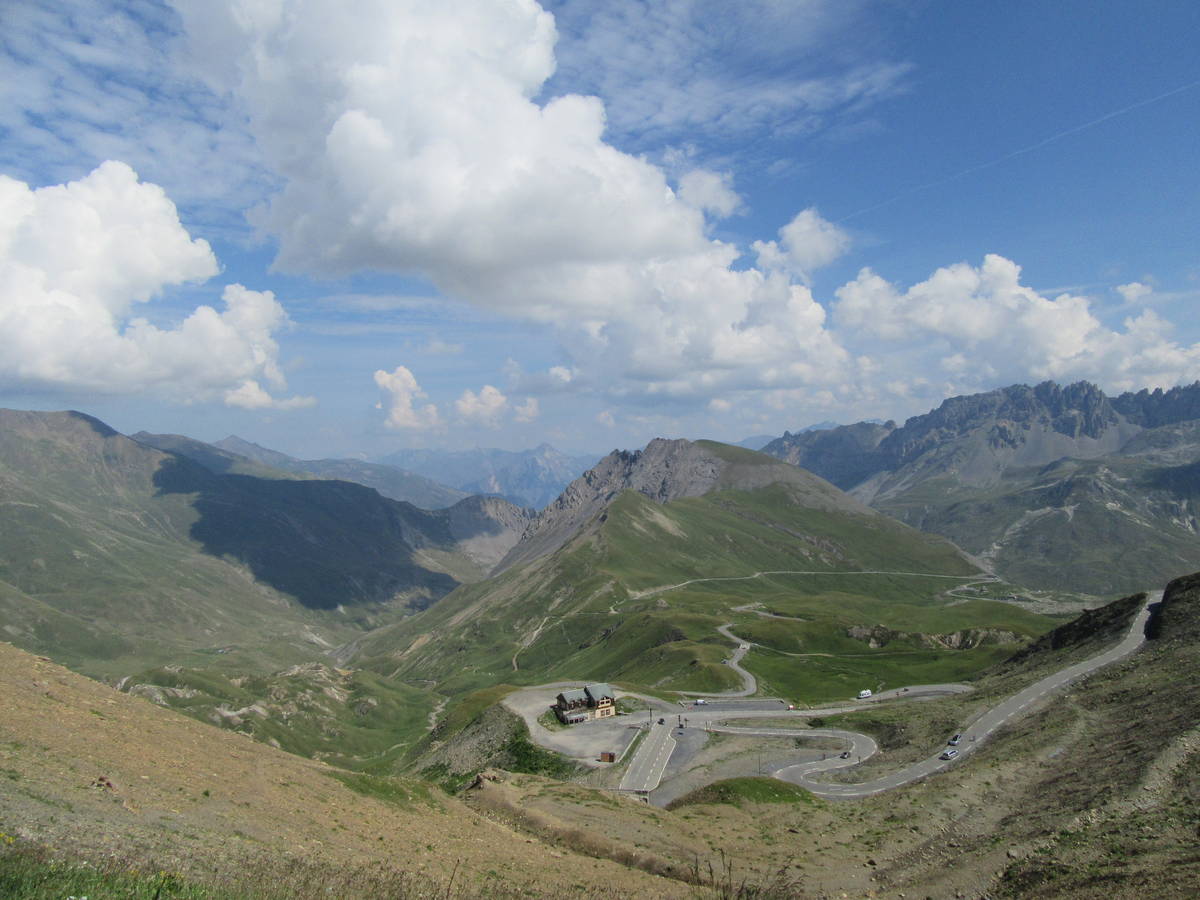
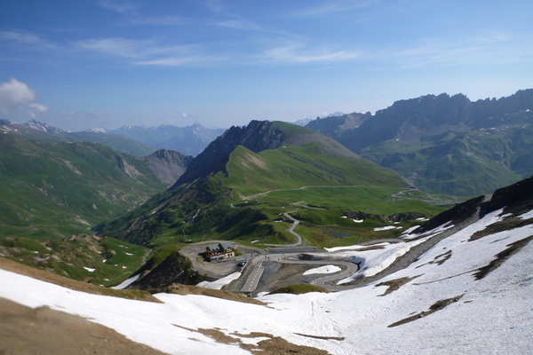
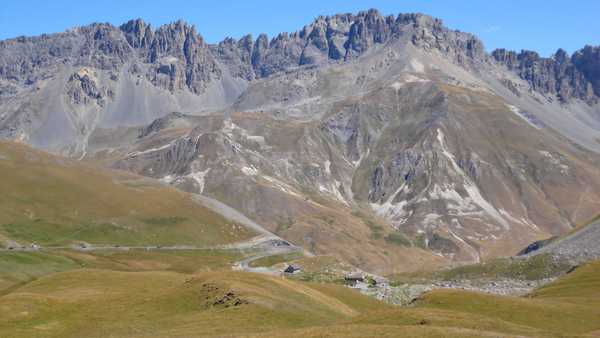
| Mountain range : | Arves and Grandes Rousses, France |
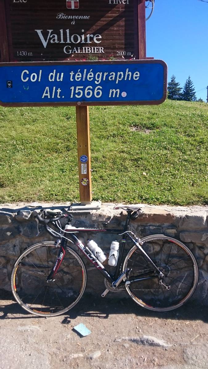
There's other climb of this summit
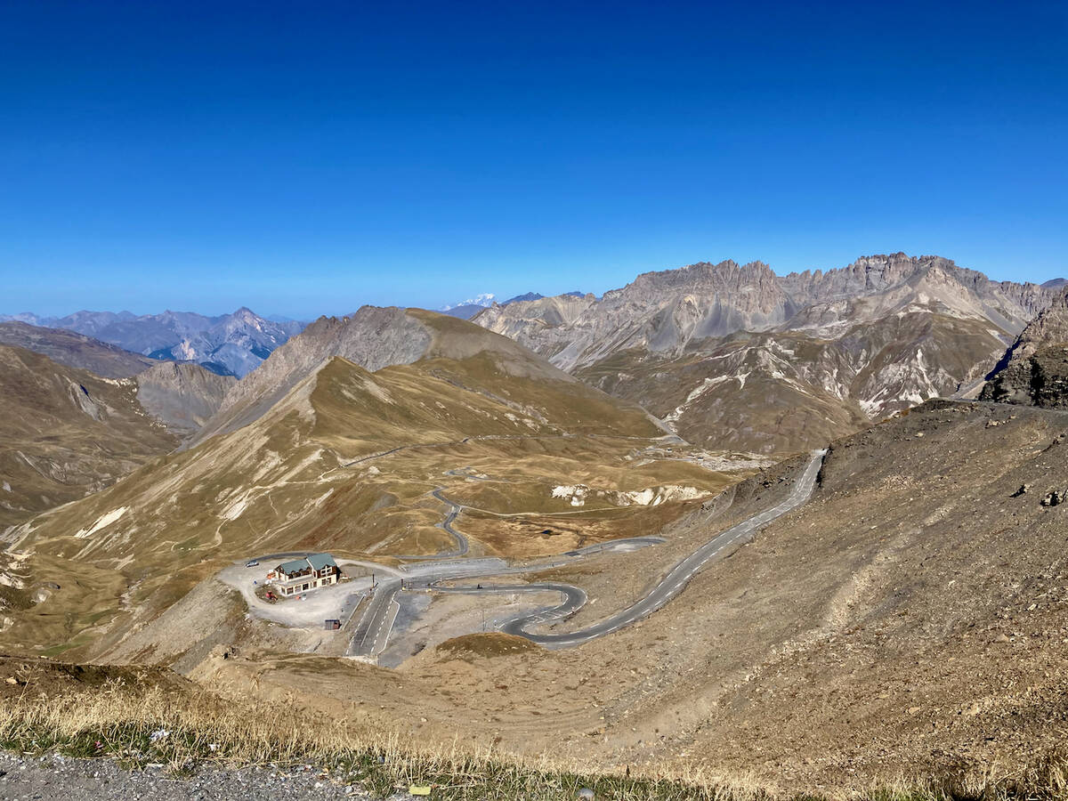
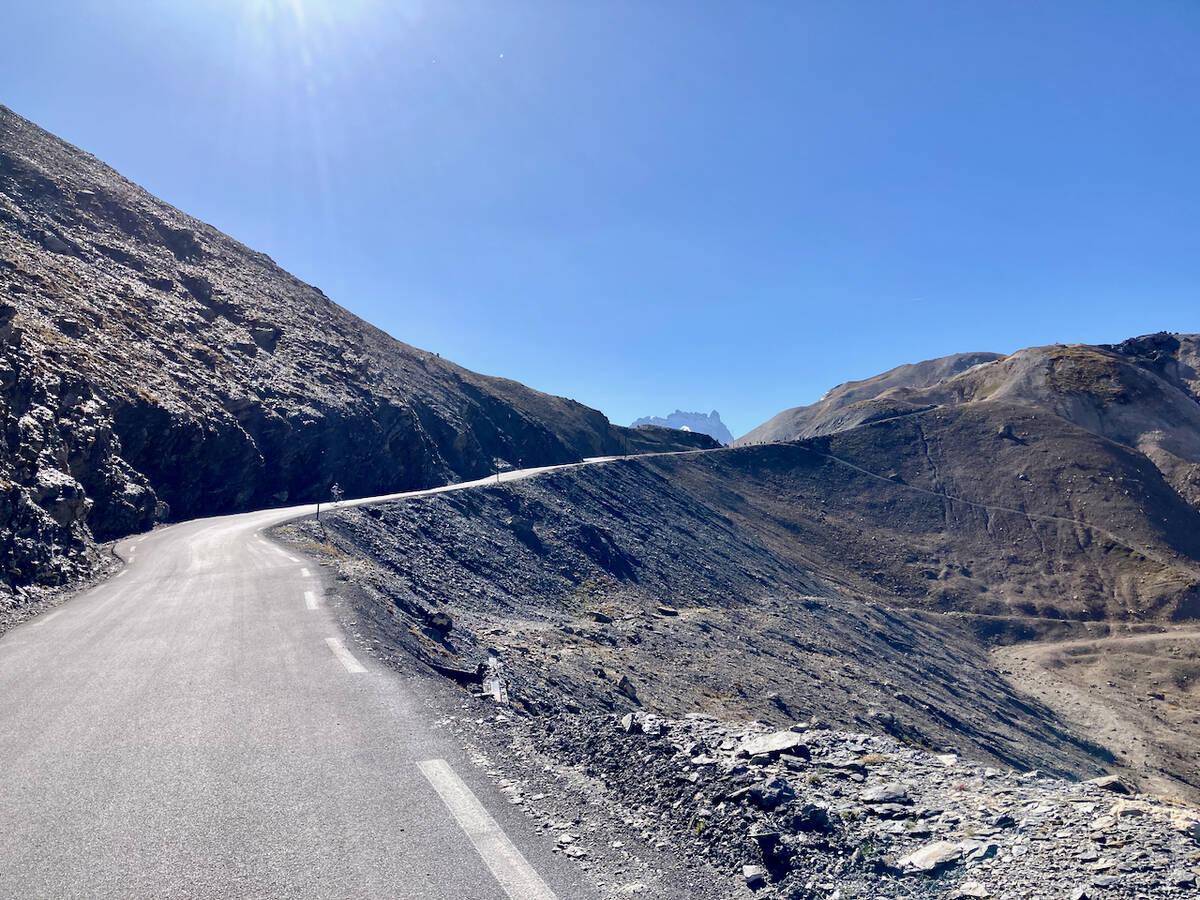
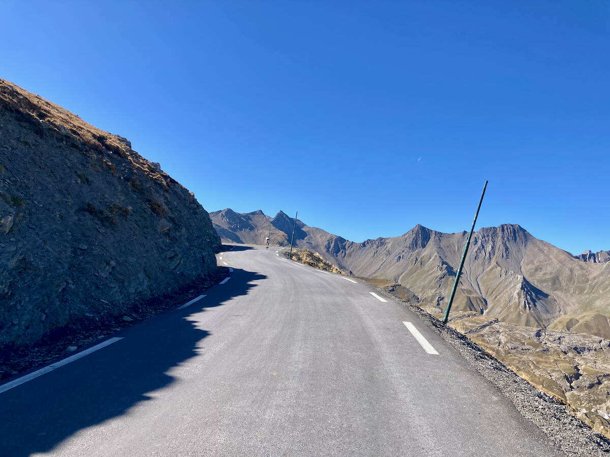
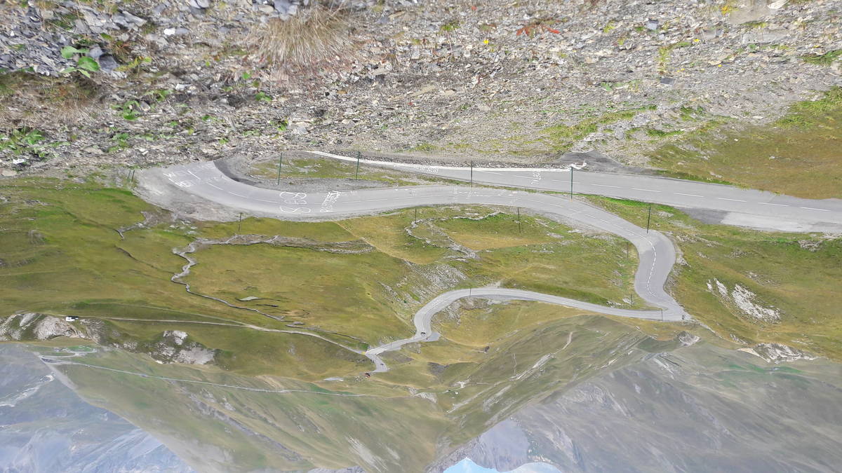
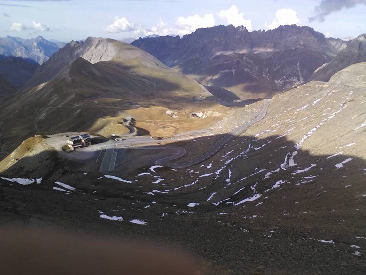
Map
Profile

 This climb is reserved for cyclists on 05/08/2025 : This climb is reserved for cyclists on 17/07/2025 : This climb is reserved for cyclists on 30/06/2025 : This climb is reserved for cyclists on 18/08/2022 : This climb is reserved for cyclists on 21/07/2022 : This climb is reserved for cyclists on 07/07/2022 : This climb is reserved for cyclists on 19/08/2021 : This climb is reserved for cyclists on 22/07/2021 : This climb is reserved for cyclists on 29/08/2019 :